1.6 km away
Mount Allan | C'est Notre Monde
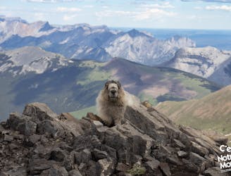
Mount Allan via Centenial Ridge, a panoramic hike in Kananaskis Region
Severe Hiking
- Distance
- 16 km
- Ascent
- 1.4 km
- Descent
- 1.4 km
Hike to Wasootch Peak
Hiking Difficult
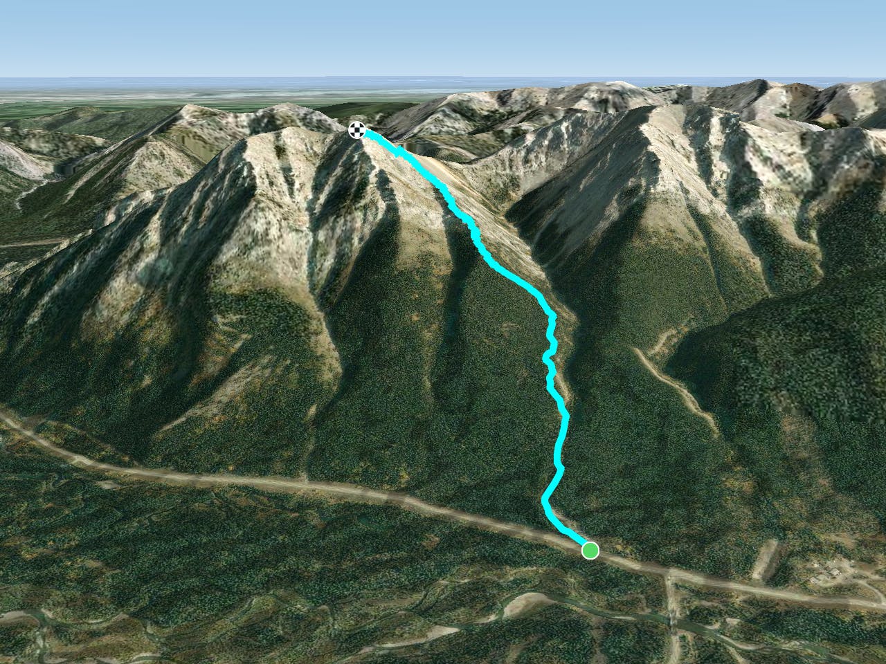
This is a popular hiking route which is generally considered to be difficult. It's not remote, it features medium exposure and is typically done all year round. From a low point of 1.4 km to the maximum altitude of 2.3 km, the route covers 3.1 km, 863 vertical metres of ascent and 0 vertical metres of descent.
Winter hike
Difficult
Hiking trails where obstacles such as rocks or roots are prevalent. Some obstacles can require care to step over or around. At times, the trail can be worn and eroded. The grade of the trail is generally quite steep, and can often lead to strenuous hiking.

The trail contains some obstacles such as outcroppings and rock which could cause injury.

Close to help in case of emergency.
1.6 km away
Mount Allan via Centenial Ridge, a panoramic hike in Kananaskis Region
Severe Hiking