267 m away
Canmore Nordic Centre
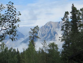
An expansive trail system filled with delightful singletrack.
Difficult Mountain Biking
- Distance
- 23 km
- Ascent
- 697 m
- Descent
- 697 m
Connection to EKG & Long Road to Ruin. Part of the yellow and red loop.
Mountain Biking Moderate

This is a popular mountain biking route which is generally considered to be moderate. It's an unknown remoteness, it features unknown exposure and is typically done in an unknown time of year. From a low point of 1.4 km to the maximum altitude of 1.5 km, the route covers 447 m, 37 vertical metres of ascent and 0 vertical metres of descent.
Two directional, Singletrack, Flow, Jumps
Moderate
Mostly stable trail tread with some variability, with unavoidable obstacles 8in/20cm tall or less. Other obstacles such as rock gullies and steep sections may exist. Ideal for lower intermediate riders.
267 m away
An expansive trail system filled with delightful singletrack.
Difficult Mountain Biking
3.3 km away
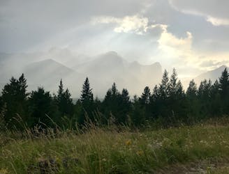
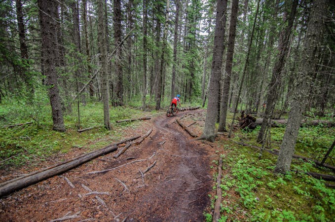
A perfect after-work lap on loamy, rooty singletrack.
Moderate Mountain Biking
3.3 km away
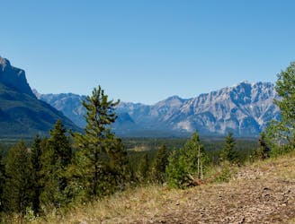
Accessible from town, this trail quickly can turn into a backcountry epic.
Difficult Mountain Biking
5.9 km away
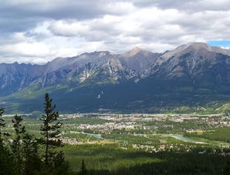
Traverse high above the town of Canmore on the Highline Trail.
Difficult Mountain Biking
6 routes · Mountain Biking