14 m away
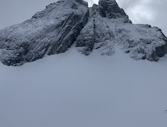
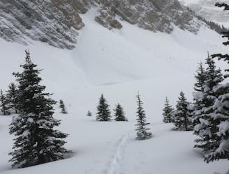
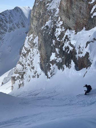
The French Haig Robertson Traverse
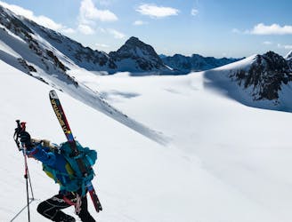
This is a Premiere route in the Kananaskis range with beautiful views and complex terrain.
Moderate Ski Touring
- Distance
- 19 km
- Ascent
- 1.2 km
- Descent
- 1.2 km
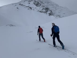
A long ski tour in Kananaskis across the French and Haig glaciers with mellow skiing.
Ski Touring Moderate

A long ski tour that takes you across some incredible terrain including the French and Haig glaciers, with beautiful views of the Peter Lougheed range and Height of the Rockies provincial park. This route requires glacier travel equipment if the snowpack is shallow. Start at the Burstall Pass parking lot, follow the hiking trail for 10 minutes until you reach a fork and then go left into the French creek drainage. Cross the creek before reaching the waterfall and climb a short ways until you are out of the forest. At this point you will see the the French glacier ahead and Mt. Robertson on the right. Stay on the left side of the slope along the moraine and head up into the pass that leads to the Haig glacier. From the top of the glacier, head right towards the Robertson headwall. Either skin or bootpack up the headwall. This is the highest point of the whole trip and it is all downhill from here. When skiing down, avoid crevasses on the skier's right if the snow pack is shallow. Otherwise, enjoy a long mellow ski down to the Burstall Pass hiking trail.

Moderate
Slopes become slightly steeper at around 25-30 degrees.

Exposure is limited to that of the slope itself. Getting hurt is still likely if the slope is steep and/or the snow is hard.

Away from help but easily accessed.
14 m away
This is a Premiere route in the Kananaskis range with beautiful views and complex terrain.
Moderate Ski Touring
47 m away
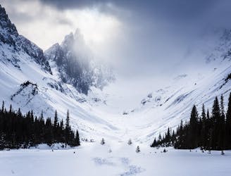
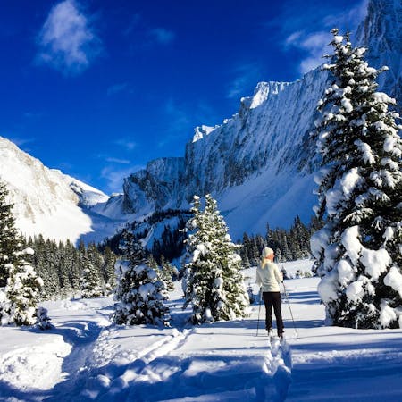
A gorgeous, easy ski tour through an expansive valley
Easy Ski Touring
162 m away
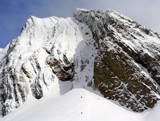
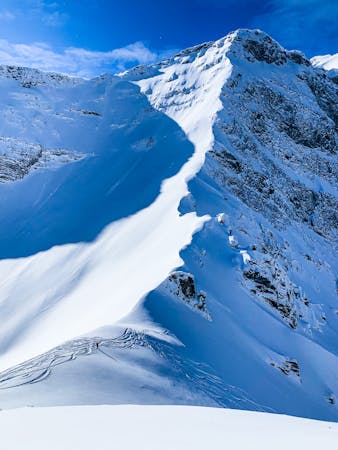
A technical Couloir with an easy approach
Severe Ski Touring
184 m away
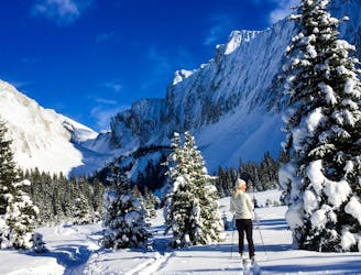
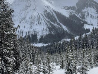
This is a classic beginner ski tour in the Canmore/Kananaskis area. Great views and minimal avalanche terrain to the lake make this a popular choice for a great day out.
Easy Ski Touring
3.5 km away
An Extreme Ski Line in Kananaskis
Severe Ski Touring
3.5 km away

This is a very aesthetic route to an expansive pass with lovely views.
Moderate Ski Touring
3.5 km away
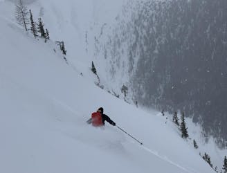
These short but steep chutes are a blast!
Difficult Ski Touring
3.6 km away
This is a beautiful traverse style loop with a fun descent and great views
Moderate Ski Touring
3.6 km away
A fun, long and large descent
Moderate Ski Touring
5.9 km away
An easy ski tour with no avalanche danger
Easy Ski Touring
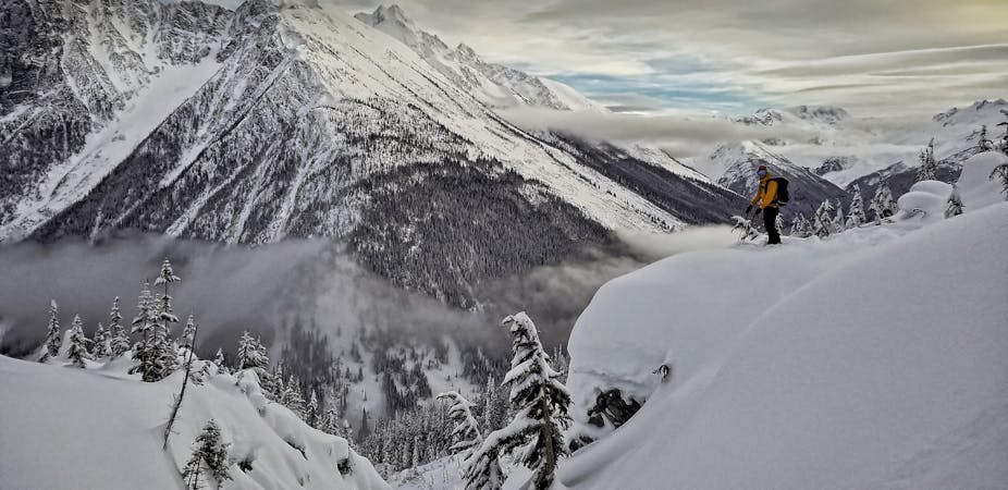
7 routes · Ski Touring
5 routes · Ski Touring
4 routes · Ski Touring
6 routes · Ski Touring