5 m away
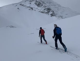
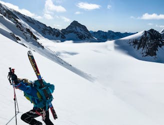
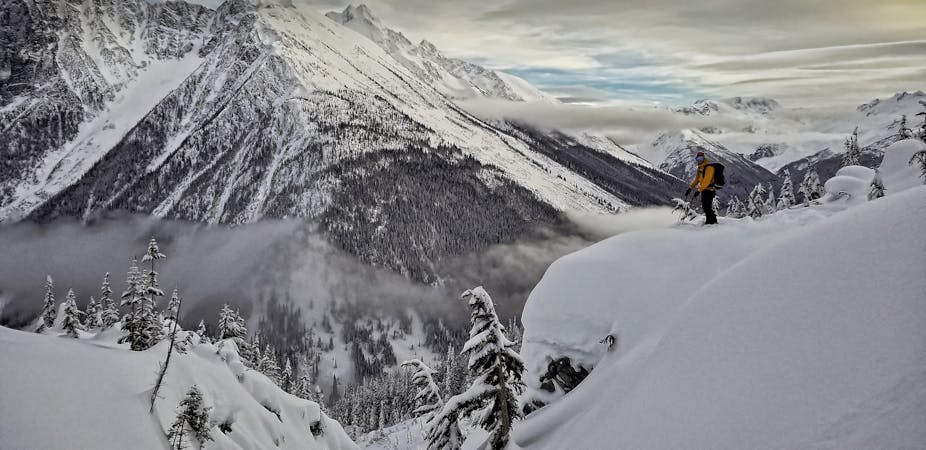
Smuts Pass

This is a very aesthetic route to an expansive pass with lovely views.
Moderate Ski Touring
- Distance
- 12 km
- Ascent
- 701 m
- Descent
- 701 m
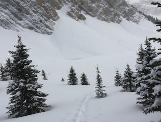
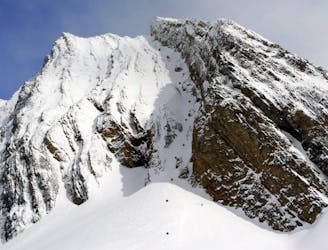
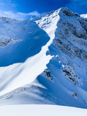
These short but steep chutes are a blast!
Ski Touring Difficult

A series of fun chutes will have you lapping all day long if you want. Each chute is approximately 200 meters and there are plenty of options to get as sendy as you want in this area. They are all black diamond to double black diamond steep and some of the chutes have small cliff drops or playful features. They all end at Tryst lake - which is a terrain trap - so make sure you ski cut or take precautions to check the stability of the chute before dropping in.
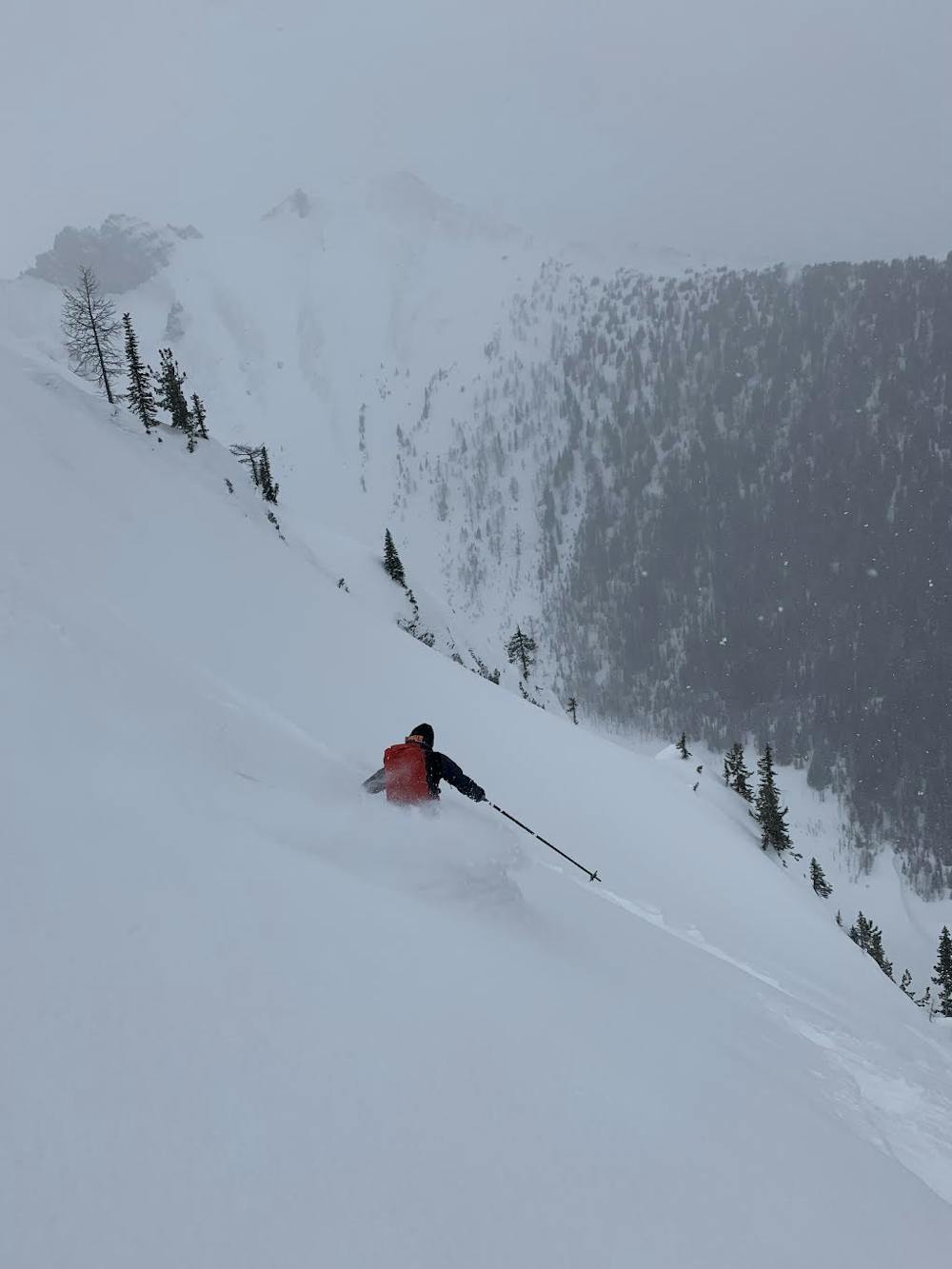
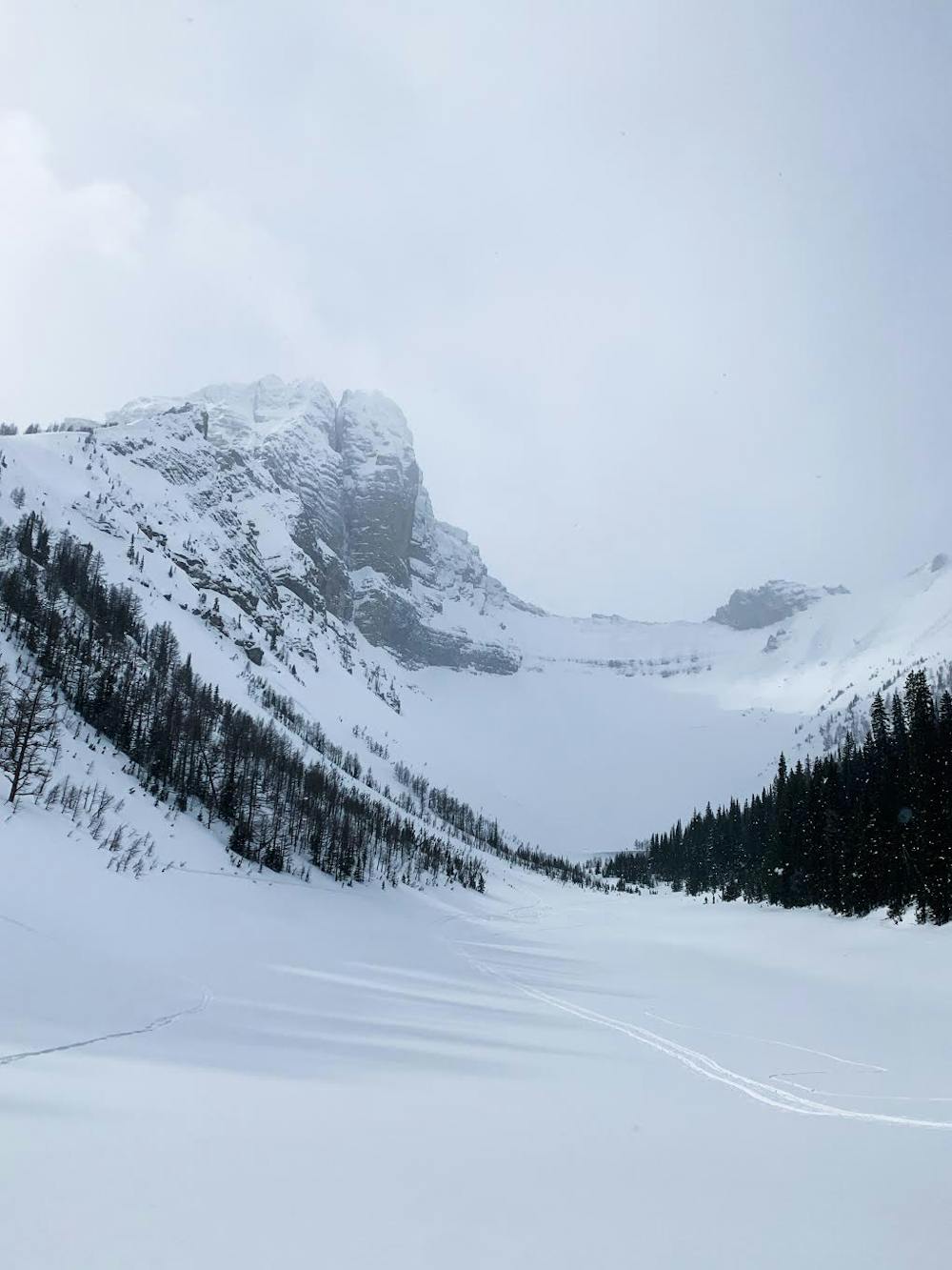
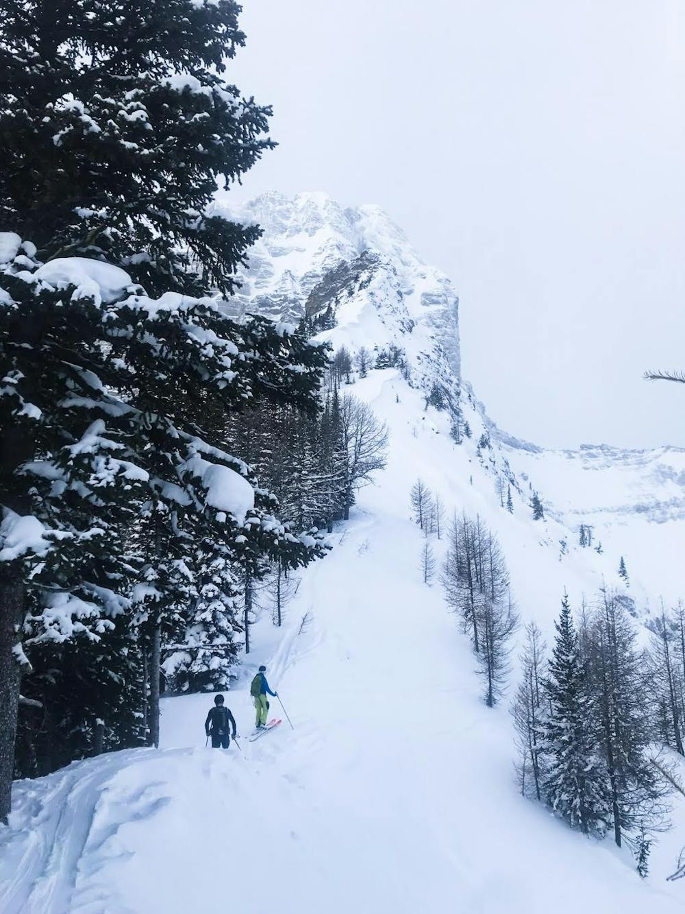
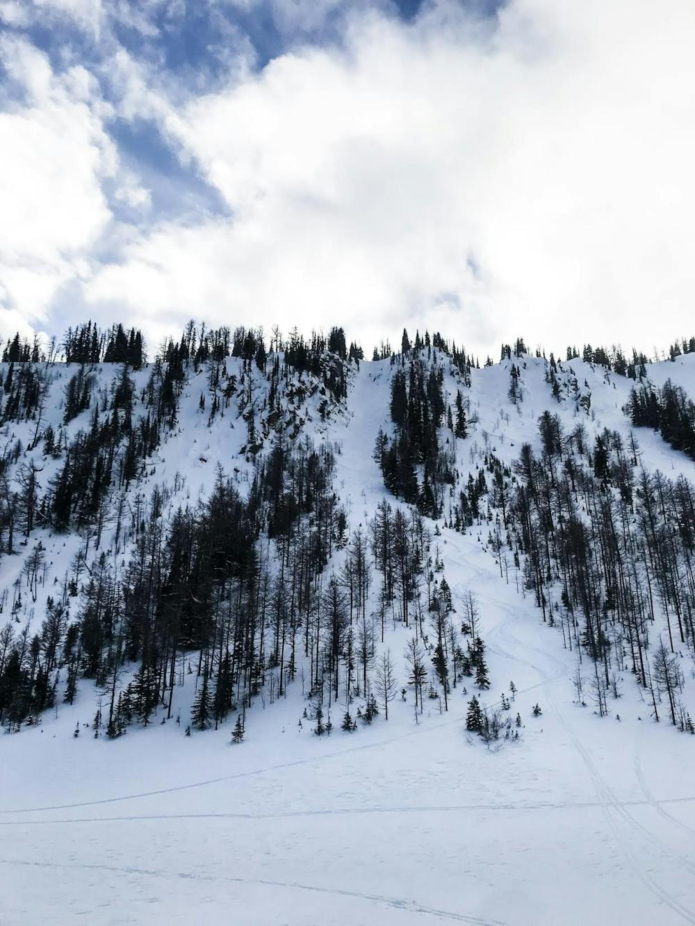
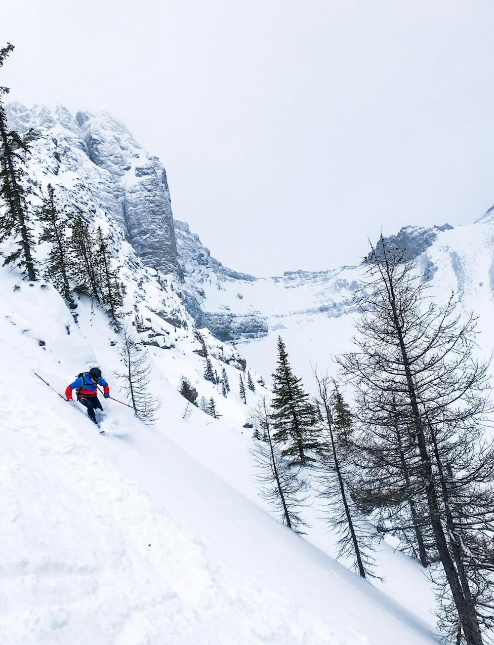
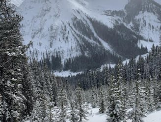
To get to the chutes you park on the road at the same parking area you would do for Smuts Pass or Super Slope. You ascend completely out of avalanche terrain through trees to arrive on top of a small ridge that if you continue along will lead you to the Fist. There are several chutes to choose from which vary in steepness and ski ability. It is suggested that you choose a mellow option first to test stability and get a feel for the terrain. You can also scout all the chutes after you do your first run and arrive at the lake. A fun day of lapping quick hits is how I would describe this zone!
After you are done you can ski out an avalanche slide path back to the flats to link up with your ascent track. If you are unsure about hazard you can always descend your uptrack through the trees to avoid the avalanche slide path ski out and run outs off of Tent ridge.
Difficult
Serious gradient of 30-38 degrees where a real risk of slipping exists.

As well as the slope itself, there are some obstacles (such as rock outcrops) which could aggravate injury.
Away from help but easily accessed.
5 m away
This is a very aesthetic route to an expansive pass with lovely views.
Moderate Ski Touring
11 m away
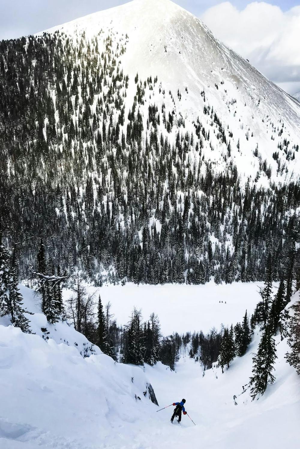
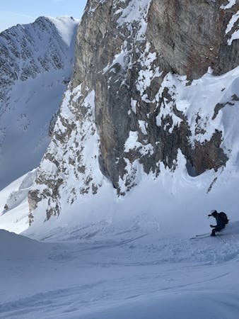
An Extreme Ski Line in Kananaskis
Severe Ski Touring
18 m away
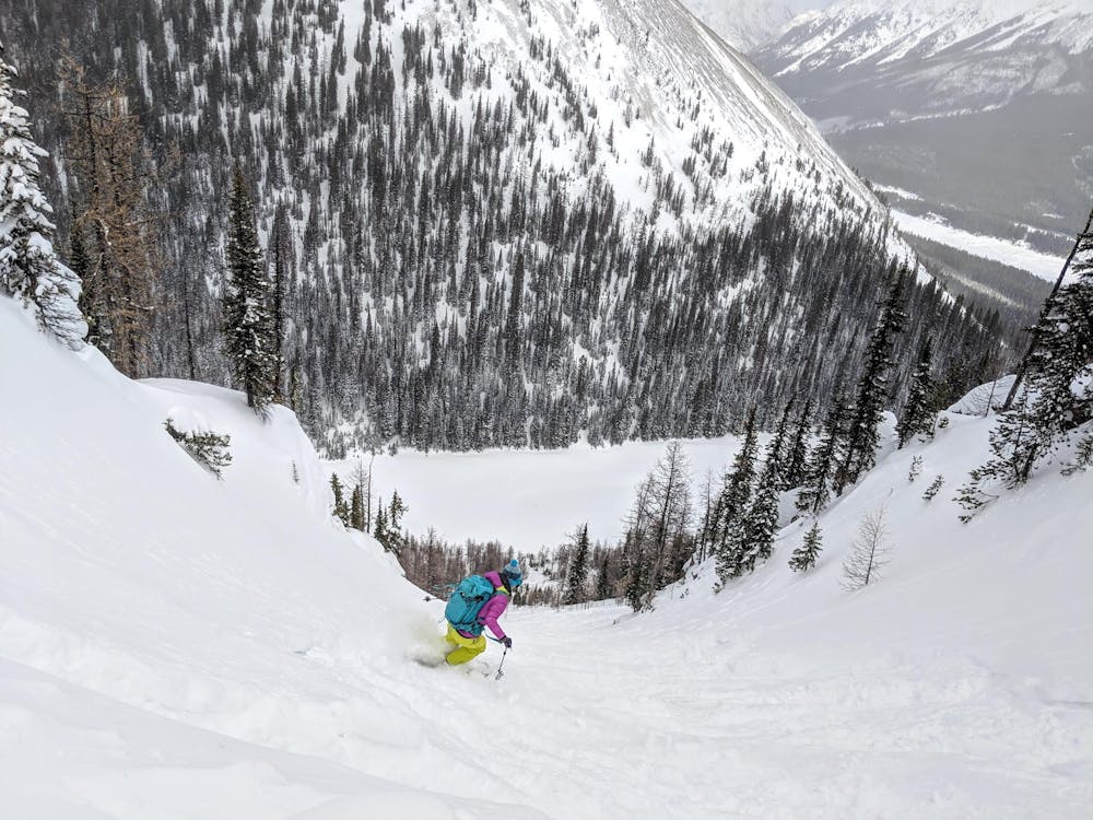
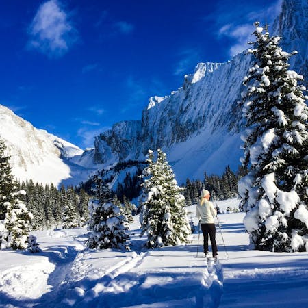
This is a beautiful traverse style loop with a fun descent and great views
Moderate Ski Touring
47 m away
A fun, long and large descent
Moderate Ski Touring
2.4 km away
An easy ski tour with no avalanche danger
Easy Ski Touring
3.5 km away
A gorgeous, easy ski tour through an expansive valley
Easy Ski Touring
3.5 km away
This is a Premiere route in the Kananaskis range with beautiful views and complex terrain.
Moderate Ski Touring
3.5 km away
A long ski tour in Kananaskis across the French and Haig glaciers with mellow skiing.
Moderate Ski Touring
3.6 km away
A technical Couloir with an easy approach
Severe Ski Touring
3.6 km away
This is a classic beginner ski tour in the Canmore/Kananaskis area. Great views and minimal avalanche terrain to the lake make this a popular choice for a great day out.
Easy Ski Touring
7 routes · Ski Touring
5 routes · Ski Touring
4 routes · Ski Touring
6 routes · Ski Touring