8.2 km away
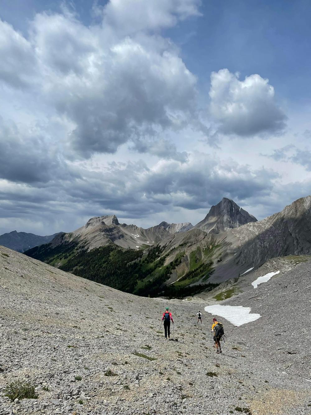
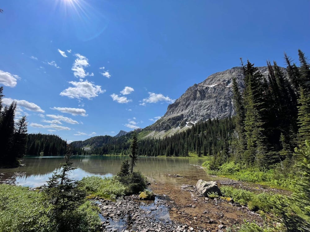
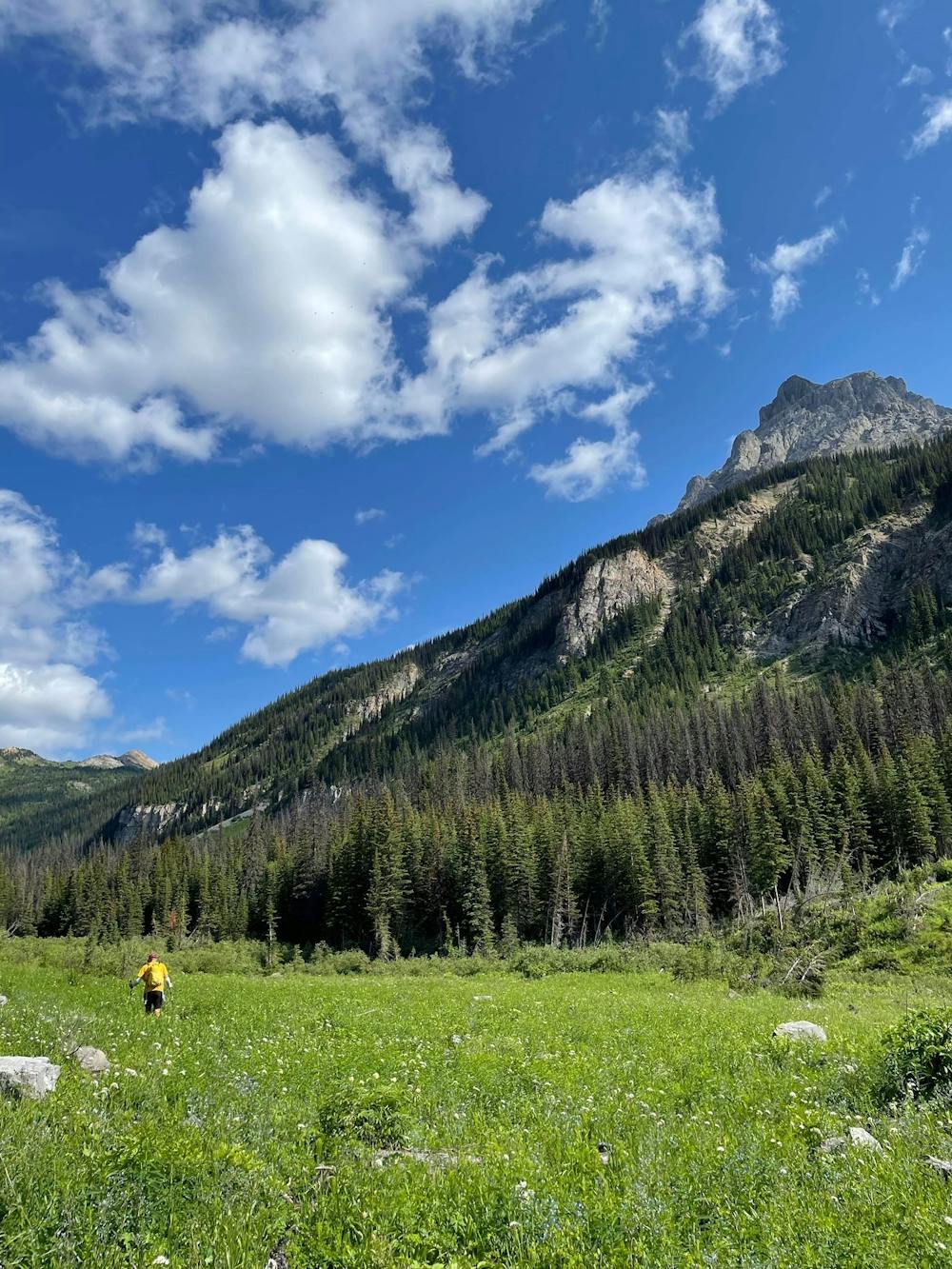
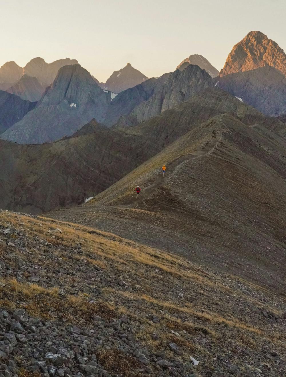
The Northover Traverse
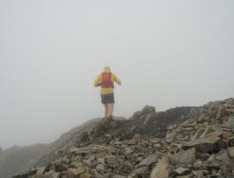
A great traverse with one of the best views in the rockies. Run it in a day or make it a three-day backpacking trip.
Difficult Trail Running
- Distance
- 34 km
- Ascent
- 1.6 km
- Descent
- 1.6 km
Want to challenge yourself and add in some of Alberta's most beautiful traverses into one trip? This is your route!
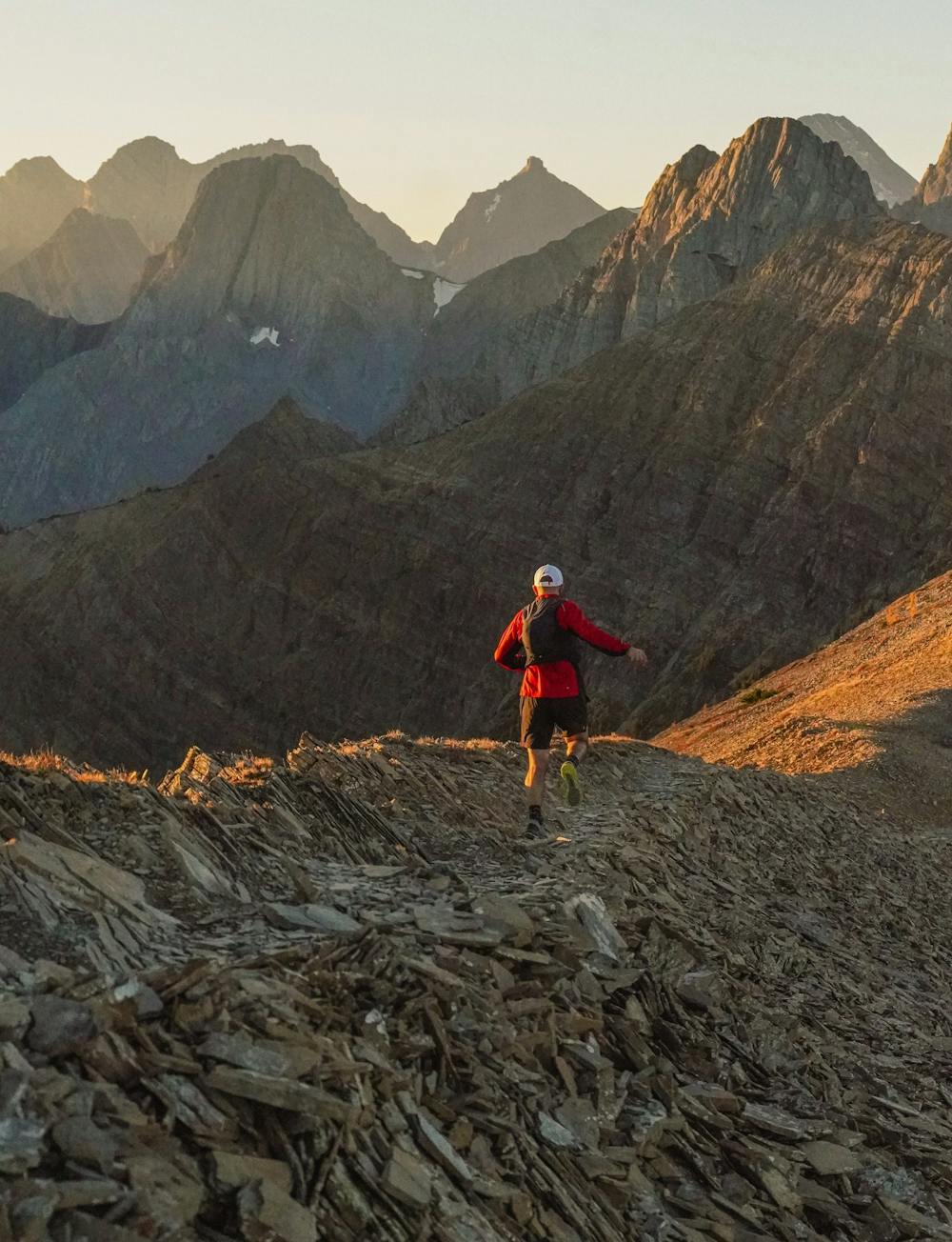
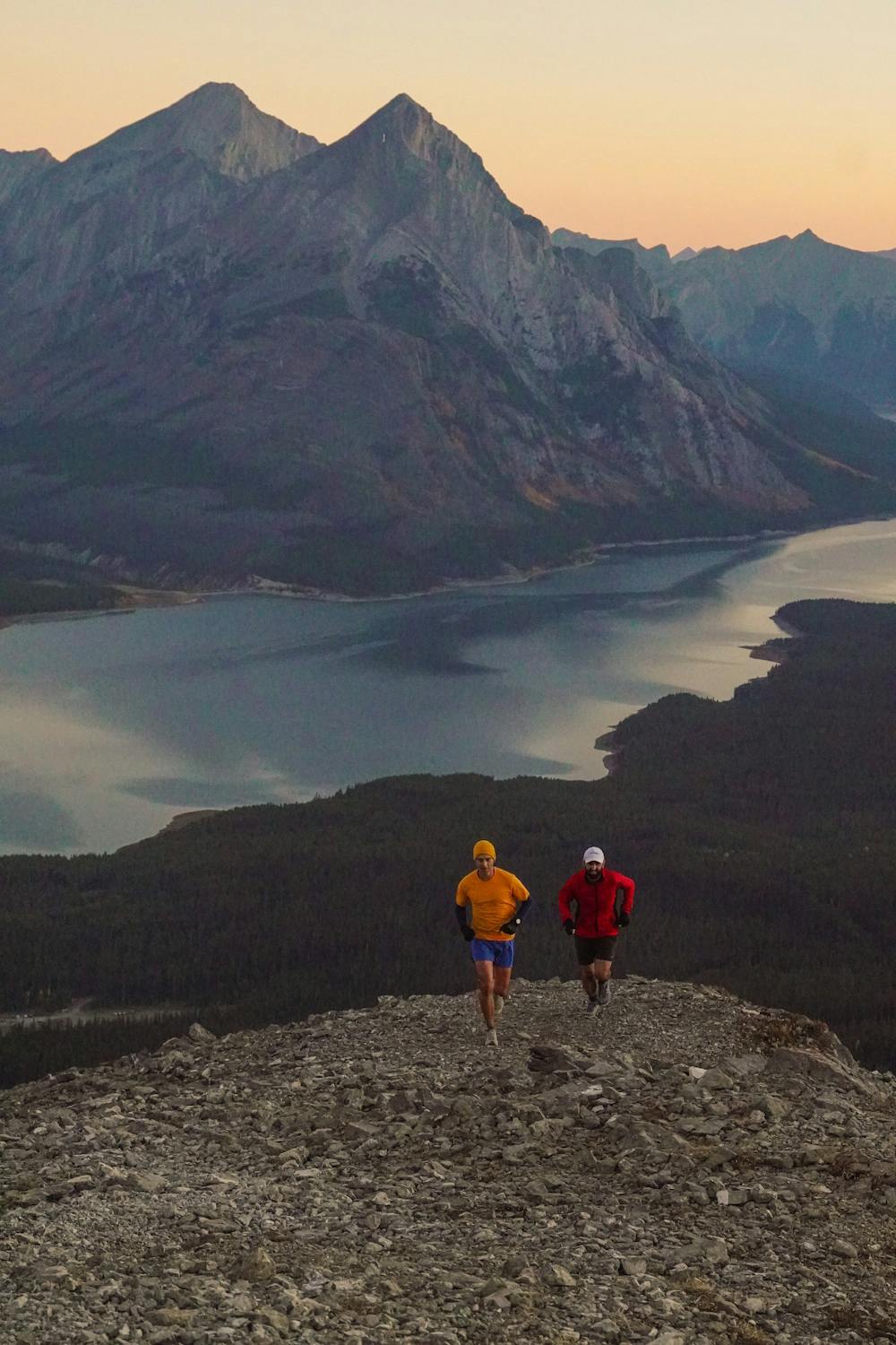
Trail Running Extreme

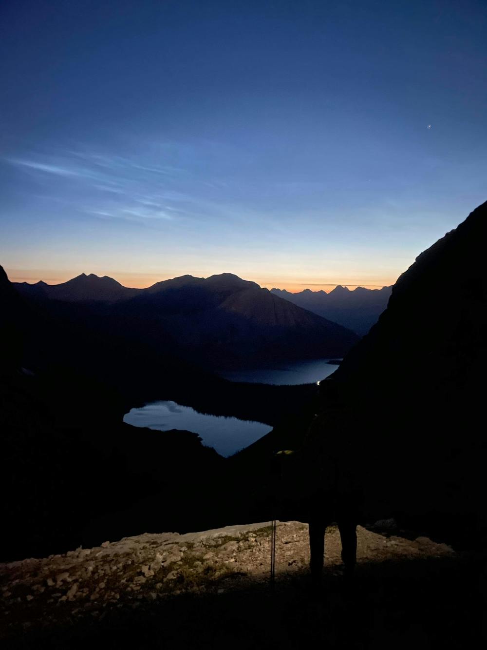
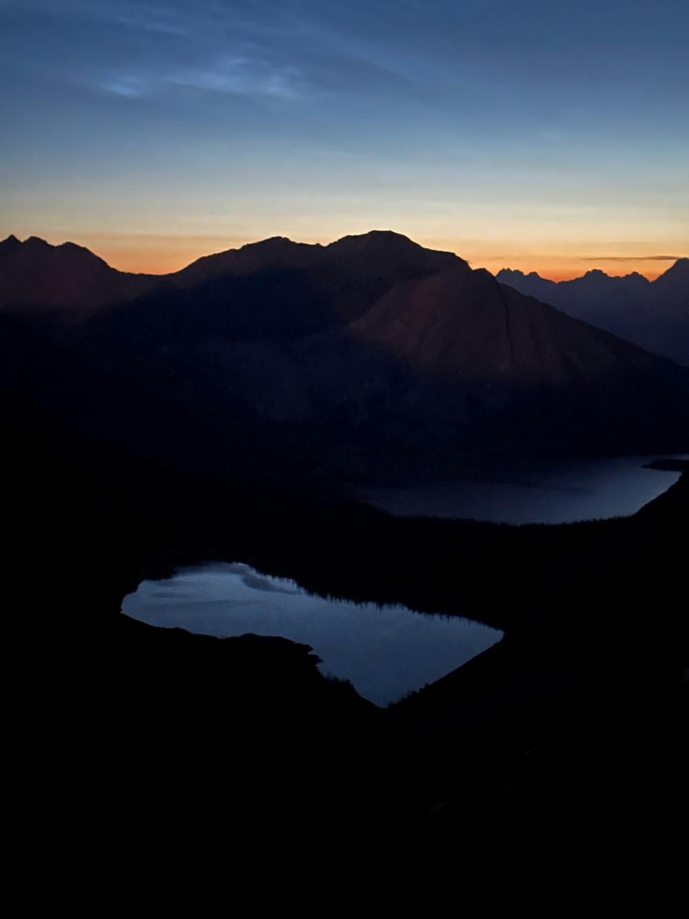
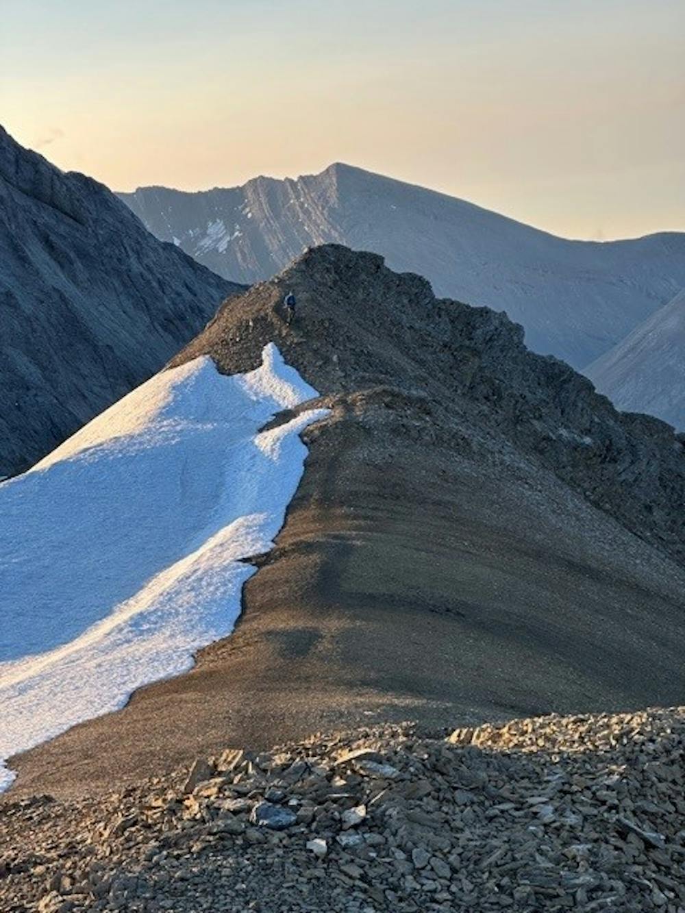
This is a popular trail running route which is generally considered to be extreme. It's extremely remote, it features extreme exposure and is typically done between June and August. From a low point of 1.5 km to the maximum altitude of 2.8 km, the route covers 109 km, 4876 vertical metres of ascent and 5293 vertical metres of descent.
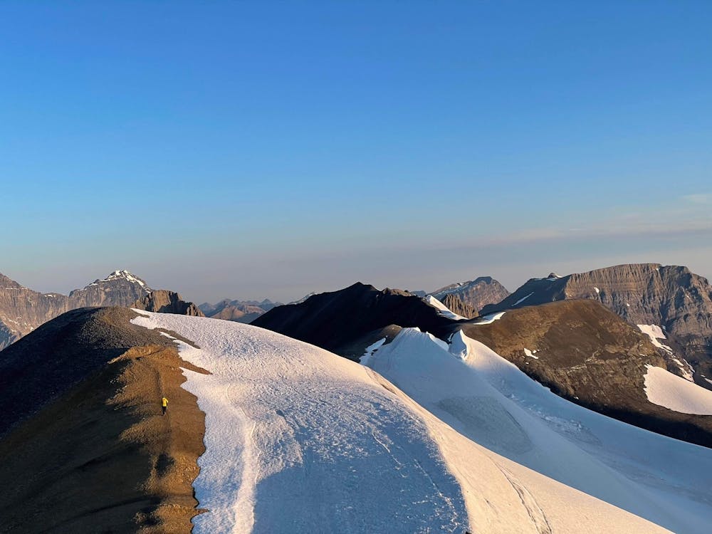
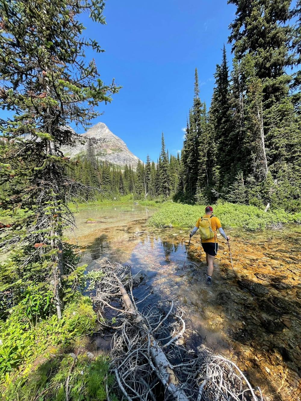
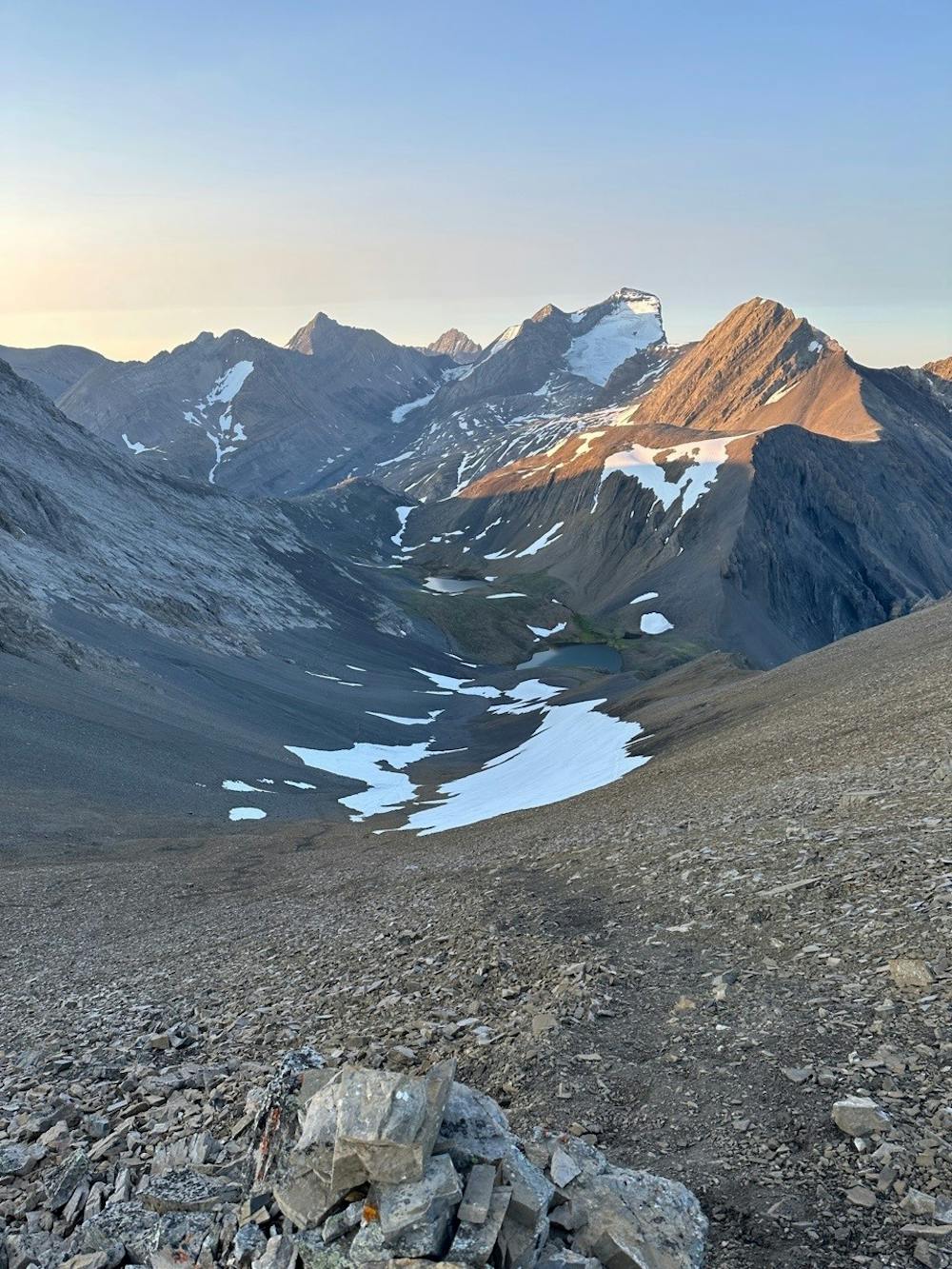
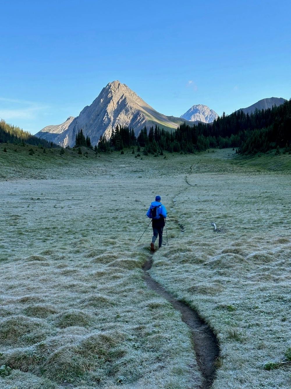
Want to challenge yourself and add in some of Alberta's most beautiful traverses into one trip? This is your route!
Extreme

Some trail sections are extremely exposed where falling will almost certainly result in serious injury or death.
In the high mountains or remote conditions, all individuals must be completely autonomous in every situation.
8.2 km away
A great traverse with one of the best views in the rockies. Run it in a day or make it a three-day backpacking trip.
Difficult Trail Running