9.8 km away
Twin Towers
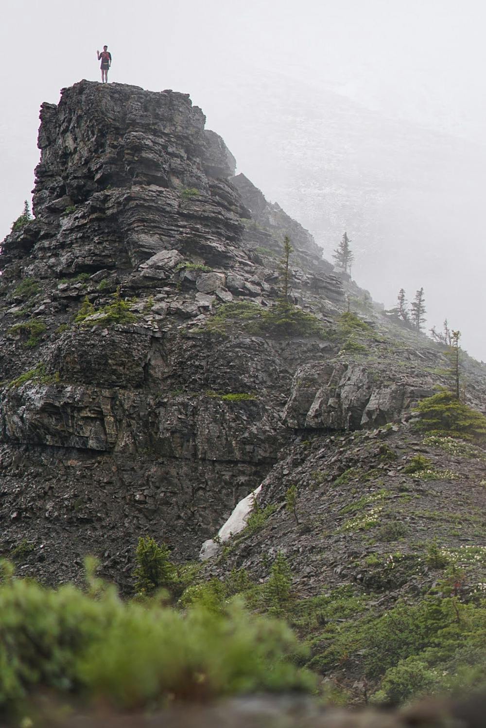
This scramble of Heart Mountain with an extension towards the Twin Towers is a technical and difficult scramble.
Severe Trail Running
- Distance
- 13 km
- Ascent
- 1.3 km
- Descent
- 1.3 km
Climb up and enjoy the trail along the ridge and drop down into the valley bottom to head back.
Trail Running Severe

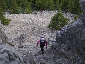
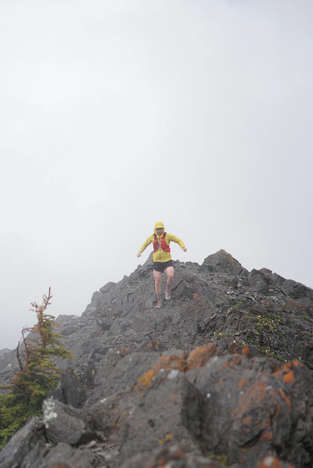
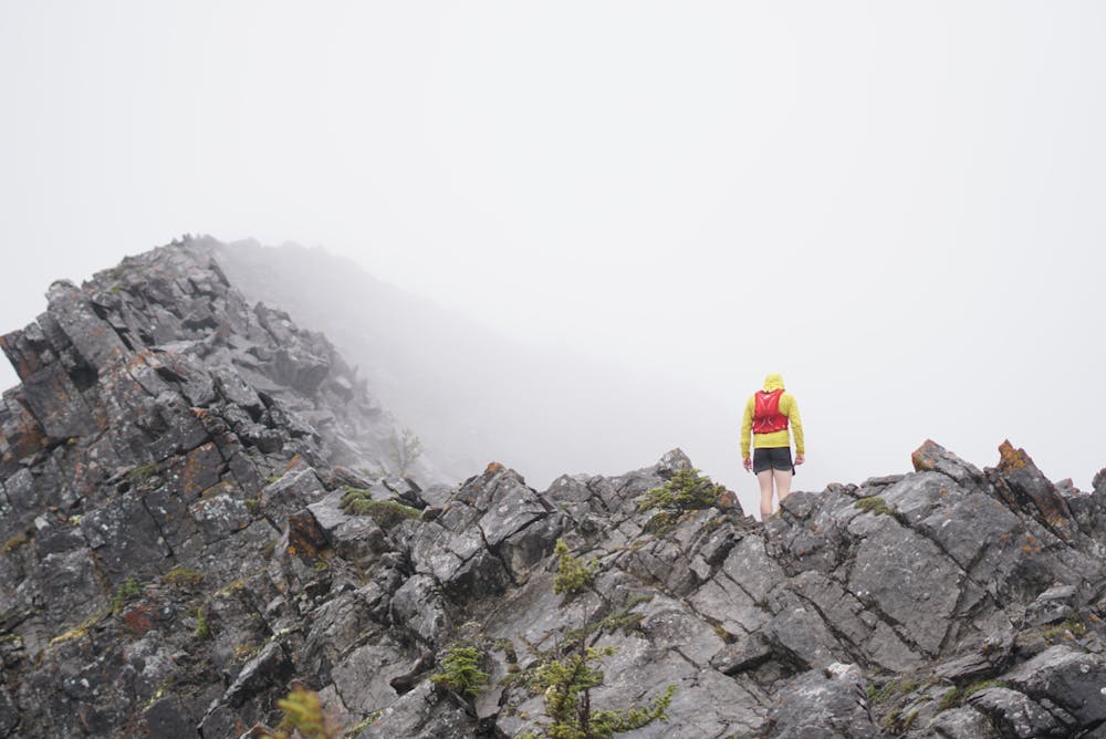
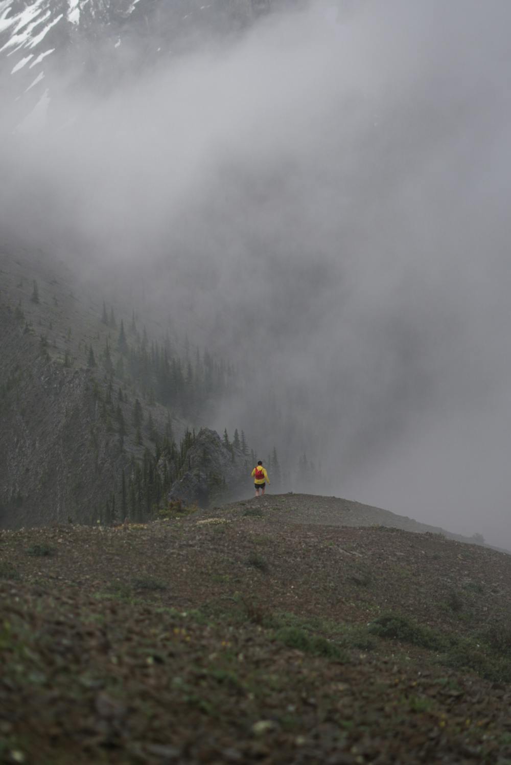
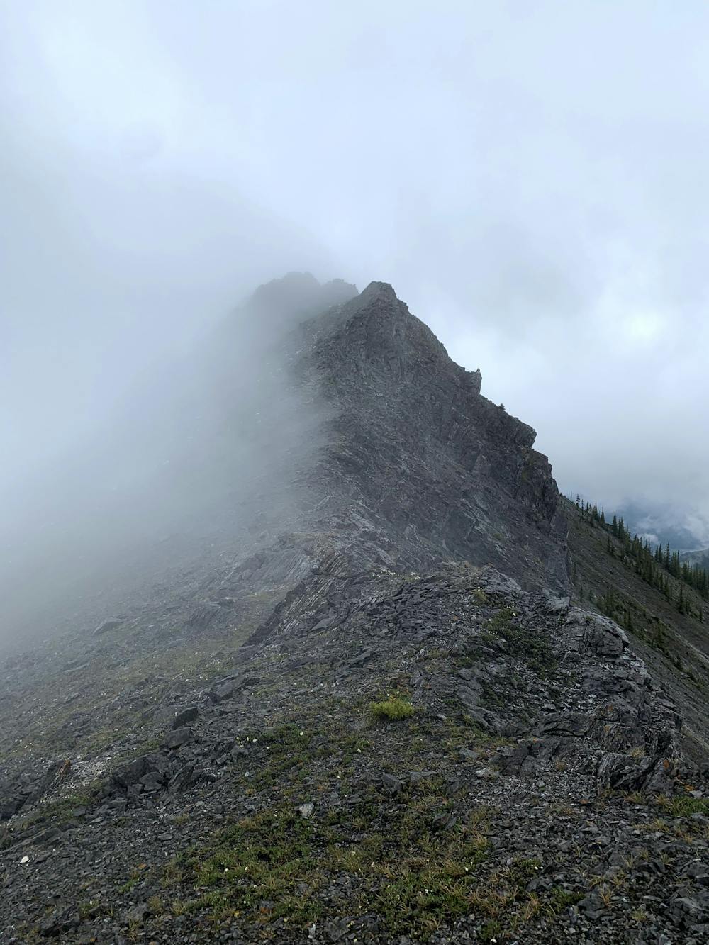
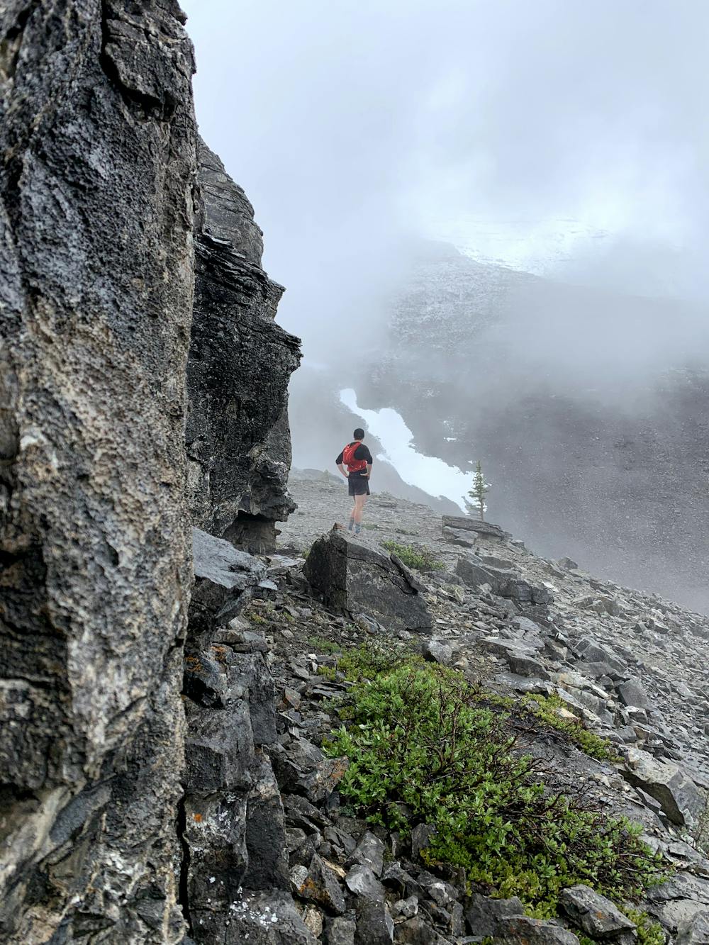
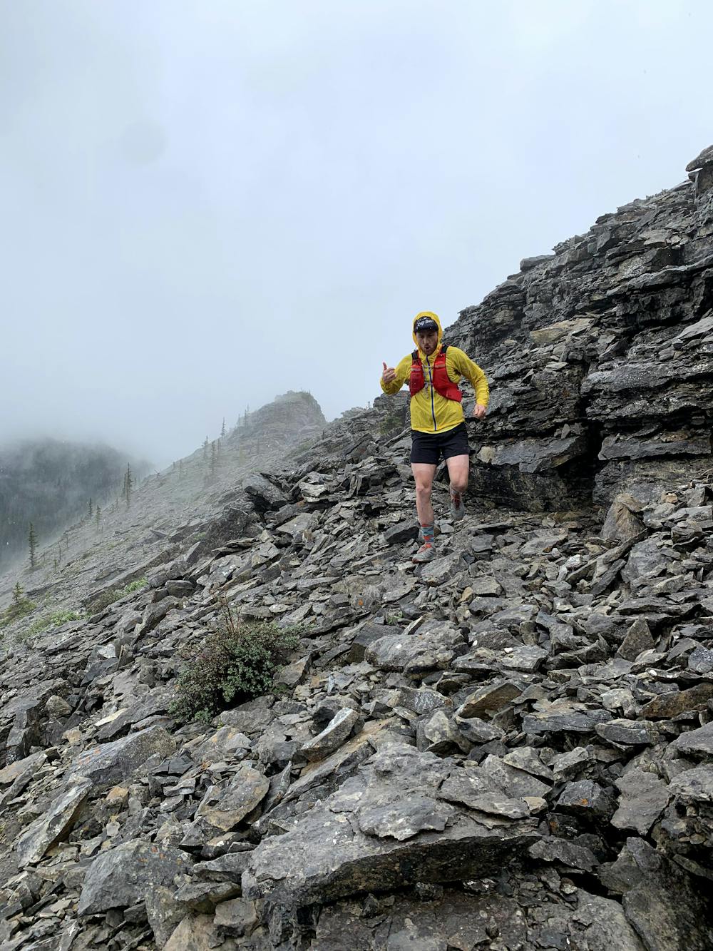
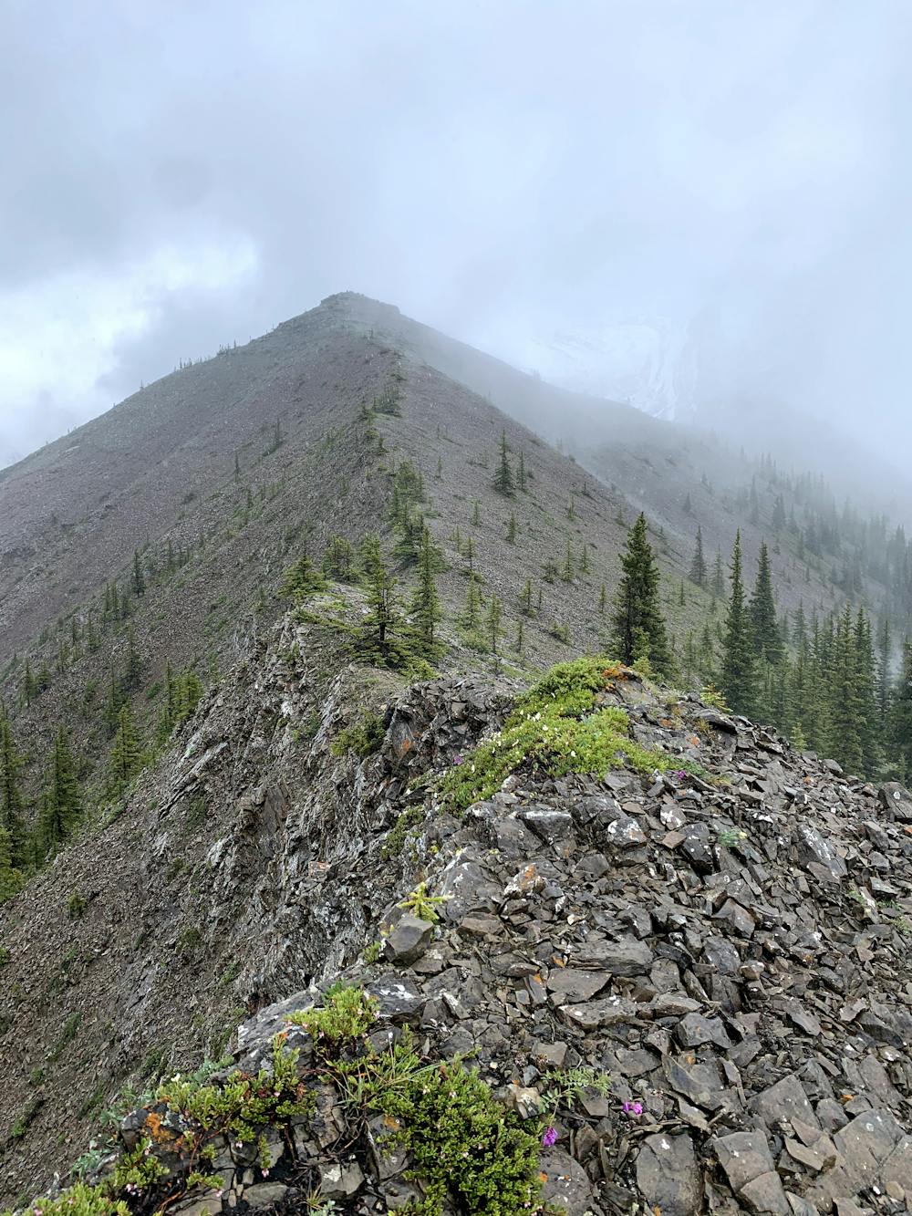
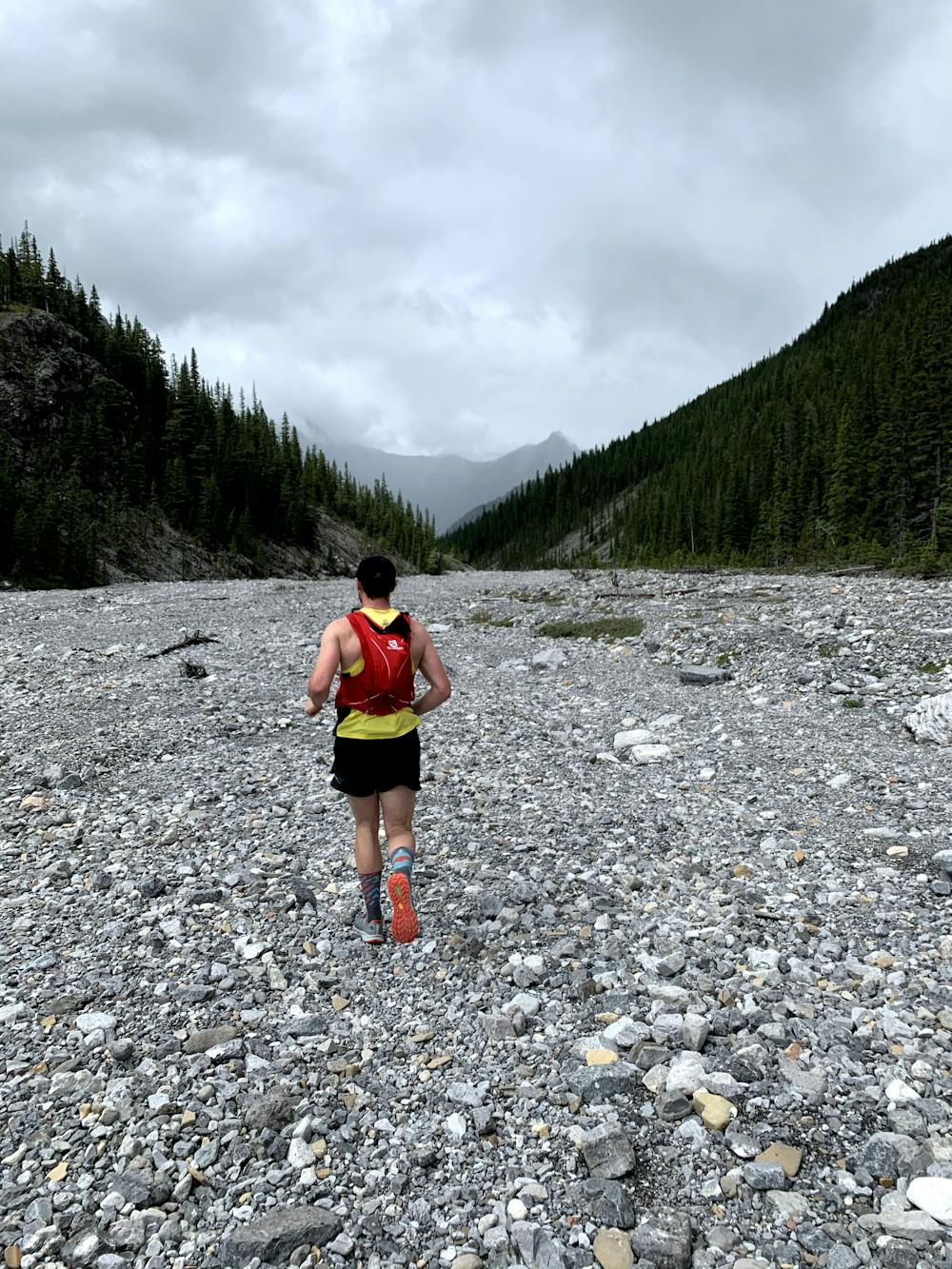
Climb up and run wasootch ridge trail. Once you reach the 5-6 km markings which are piles of rocks you will want to pay attention so you can stay low so you dont get stuck unless you bring rope to do a rappel with to the trail below. You will pop up to the ridge which becomes difficult and you need to choose your route wisely. Route finding is required at this point and beyond. You will get to some ridges that are steep on either side but for the most part the back part is wider and allows you to move quickly. Once you are at the are to go down it will be the pancake scree which leads you to a bit of a bush whack. You will have water at this point which is nice to refill bottles. As you navigate down and through the trees you will eventually reach a larger creek which you will have to get wet and follow that out to the big open river bed that leads you back to your car. A unique and different loop to change it up in Kananaskis.


Severe

Some trail sections have exposed ledges or steep ascents/descents where falling could cause serious injury.
Little chance of being seen or helped in case of an accident.
9.8 km away
This scramble of Heart Mountain with an extension towards the Twin Towers is a technical and difficult scramble.
Severe Trail Running