168 m away
CBC
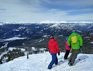
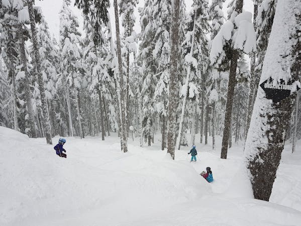
Great gladed skiing but prior knowledge is essential!
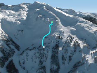
Severe Freeride Skiing
- Distance
- 1 km
- Ascent
- 9 m
- Descent
- 334 m
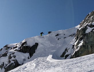
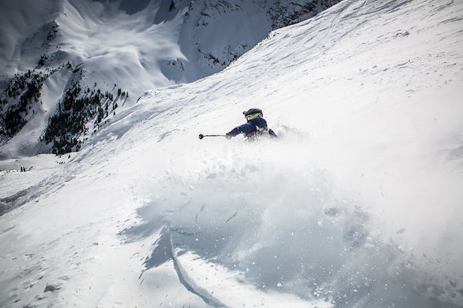
Steep chute skier's right of the Grey Zone
Freeride Skiing Severe

This is a popular freeride skiing route which is generally considered to be severe. It's not remote, it features medium exposure (e2) and is typically done between December and March. From a low point of 1.8 km to the maximum altitude of 1.9 km, the route covers 161 m, 3 vertical metres of ascent and 65 vertical metres of descent. It's graded 3.3 and Labande grade 4.
A small steep traverse under cliffs leads to a narrow chute.
Severe
Steep skiing at 38-45 degrees. This requires very good technique and the risk of falling has serious consequences.

As well as the slope itself, there are some obstacles (such as rock outcrops) which could aggravate injury.

Close to help in case of emergency.
168 m away
Great gladed skiing but prior knowledge is essential!
Severe Freeride Skiing
314 m away

Chute through the trees located skier's right of Heavenly Basin
Severe Freeride Skiing
359 m away

An alternative option within Smoked Salmon often with fresh lines still remaining
Difficult Freeride Skiing
405 m away

One of three fun gladed routes between the Crystal Traverse and the Blue Line.
Difficult Freeride Skiing
419 m away
Naturally pruned gladed skiing
Difficult Freeride Skiing
940 m away

A Large alpine zone offering both easy and challenging black routes down to Crystal.
Moderate Freeride Skiing
1.1 km away
A fairly short, skiable chute - know where you're going!
Severe Freeride Skiing
1.1 km away

A 15 metre Narrow Chute with some rocks to negotiate
Extreme Freeride Skiing
1.1 km away

The upper basin leading you into options in the Gemstone Bowl - Sapphire, Diamond and Ruby
Difficult Freeride Skiing
1.1 km away
One of the toughest of the Gemstone bowls but rewarding once you've navigated your way in!
Severe Freeride Skiing
8 routes · Freeride Skiing
1 routes · Freeride Skiing
3 routes · Freeride Skiing