509 m away
Boot Chutes

Gladed skiing on the last pitch down to Harmony Chair
Moderate Freeride Skiing
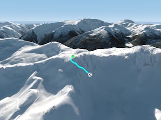
- Distance
- 248 m
- Ascent
- 0 m
- Descent
- 97 m
Description coming soon...
Freeride Skiing Difficult

This is a popular freeride skiing route which is generally considered to be difficult. It's not remote, it features unknown exposure and is typically done in an unknown time of year. From a low point of 1.7 km to the maximum altitude of 1.9 km, the route covers 661 m, 0 vertical metres of ascent and 202 vertical metres of descent.
Description coming soon...
Difficult
Serious gradient of 30-38 degrees where a real risk of slipping exists.

Close to help in case of emergency.
509 m away
Gladed skiing on the last pitch down to Harmony Chair
Moderate Freeride Skiing
582 m away

Small glades which stash good powder - a last little hit before the chairlift
Difficult Freeride Skiing
609 m away

Gladed skiing at a gentle pitch.
Moderate Freeride Skiing
701 m away

Two options: Cliff yourself out or send it!
Severe Freeride Skiing
738 m away

Nicely spaced gladed skiing heading down towards Symphony Express
Moderate Freeride Skiing
840 m away
Steep, powder and air entrances (if you dare).
Difficult Freeride Skiing
890 m away

Very Steep, Very Tight - Ultimate Gnar!
Severe Freeride Skiing
919 m away

A tight, steep, short chute with a couple of funky options.
Severe Freeride Skiing
1 km away

A wide open field with a couple of fun features running into a short gladed area.
Moderate Freeride Skiing
1.4 km away

A no fall zone traverse easily accesses a steep 'East Face' for you to leave your tracks on.
Difficult Freeride Skiing