7 m away
Vantage Peak
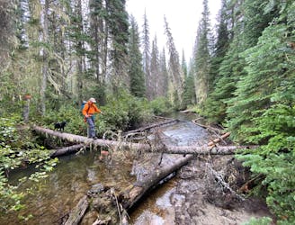
Beautifull Glacial Views on a pristine summit
Severe Hiking
- Distance
- 15 km
- Ascent
- 1.1 km
- Descent
- 1.1 km

A sub-10k day hike with the option to camp at a Keith's Hut.
Hiking Moderate

A popular backcountry ski destination, Cerise Creek is also known for a classic summer hike that leads to an iconic hut beneath Joffre Peak. While backcountry travel is popular with some, this route is a great way to explore the area on a day hike, or by utilizing Keith's Hut for a overnight trip. Hikers have the option to stay within the hut or pitch a tent nearby along the edge of a small and picturesque high mountain pond.
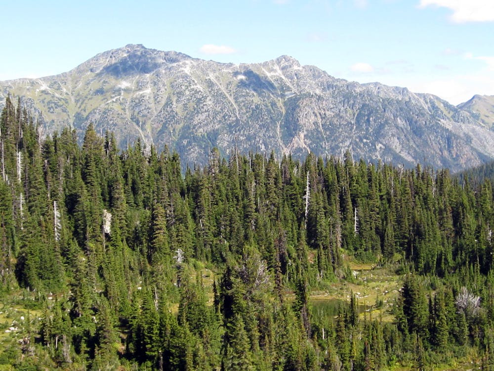
Located between Duffey Lake and Pemberton, this hike is a great way to explore the area while earning rewarding views as you climb up the creek. Expect muddy conditions and varied terrain, and that most would consider this moderate to difficult overall.
The parking area is located off Duffey Lake Road and can host plenty of vehicles along the edge of the road. Plan to carry bear spray as well, as the remoteness of the area tends to yield wildlife sightings from time to time.
According to this source, the "hut was built in memory of Keith Flavelle by his friends and family in 1986, after a tragic accident took his life on the East Ridge of Mt. Logan."
Sources: sammckoy.com backcountrybc.ca
Moderate
Hiking along trails with some uneven terrain and small hills. Small rocks and roots may be present.
7 m away

Beautifull Glacial Views on a pristine summit
Severe Hiking
3.6 km away
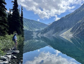
Rohr Lake is a popular alternative to Joffre Lakes, but it's a much more challenging hike!
Extreme Hiking
6.3 km away
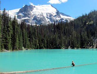
A popular hike to three turquoise-blue alpine lakes.
Difficult Hiking
10 routes · Hiking
10 routes · Alpine Climbing · Canyoning · Hiking