1.1 km away
Elk River Trail to Landslide Lake
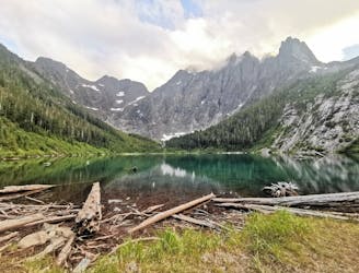
A scenic river trail to one of the most picturesque Lakes on Vancouver Island
Difficult Hiking
- Distance
- 24 km
- Ascent
- 1.2 km
- Descent
- 1.2 km
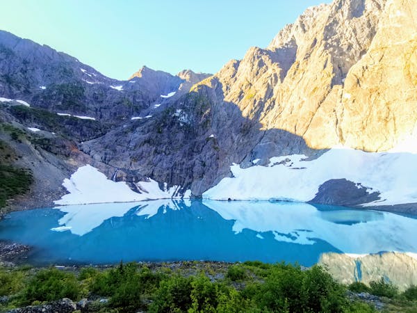
Great overnight or day hike on a summit route that includes an alpine lake.
Hiking Difficult

The trail up to Crest Mountain is easy to follow but quite difficult. Most of it is along a wide single track through forest. About a kilometre in there's a nice waterfall and a stream which is suitable for drinking. This is the only source of water until the lakes up top (which need to be filtered). The trail is on a fairly steep grade with lots of switchbacks and as it leaves the tree line.
Lots of folks stop for a break and a dip in the lake before continuing on to the summit, which is only about 20 minutes away. The descent can be just as difficult since lots of loose rock on dirt provide little traction and make the trail slippery. Poles are highly recommended for the way down to take some load off the knees and descend more safely.
Difficult
Hiking trails where obstacles such as rocks or roots are prevalent. Some obstacles can require care to step over or around. At times, the trail can be worn and eroded. The grade of the trail is generally quite steep, and can often lead to strenuous hiking.

The trail contains some obstacles such as outcroppings and rock which could cause injury.
Away from help but easily accessed.
1.1 km away
A scenic river trail to one of the most picturesque Lakes on Vancouver Island
Difficult Hiking
3.8 km away
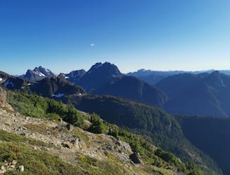
A difficult but rewarding trail that has a great mix of terrain and some spectacular views at the top.
Severe Hiking
7.6 km away
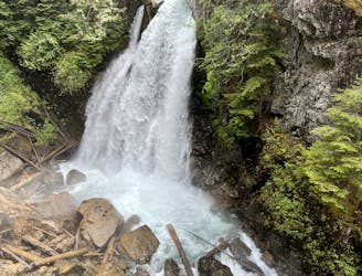
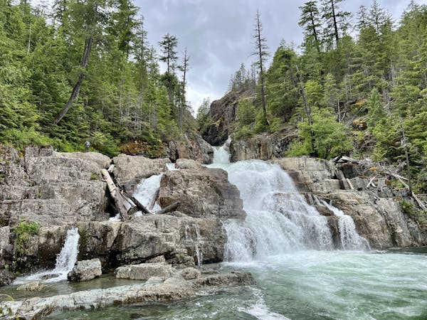
A stunning waterfall formed by Cervus Creek plummeting off of a sheer 98-foot cliff into a narrow valley far below.
Easy Hiking
3 routes · Hiking
3 routes · Hiking