3.5 km away
Okanagan High Rim Trail - Northern Section
A long and peaceful journey through some beautiful forests.
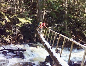
Severe Hiking
- Distance
- 57 km
- Ascent
- 2.3 km
- Descent
- 2 km
A fabulous journey through one of the Okanagan's finest parks.
Hiking Moderate

This is a great route whatever your level of skill - you can hike or run as much of it as you choose without affecting your enjoyment of the route and it's a great trip no matter what speed you do it at.
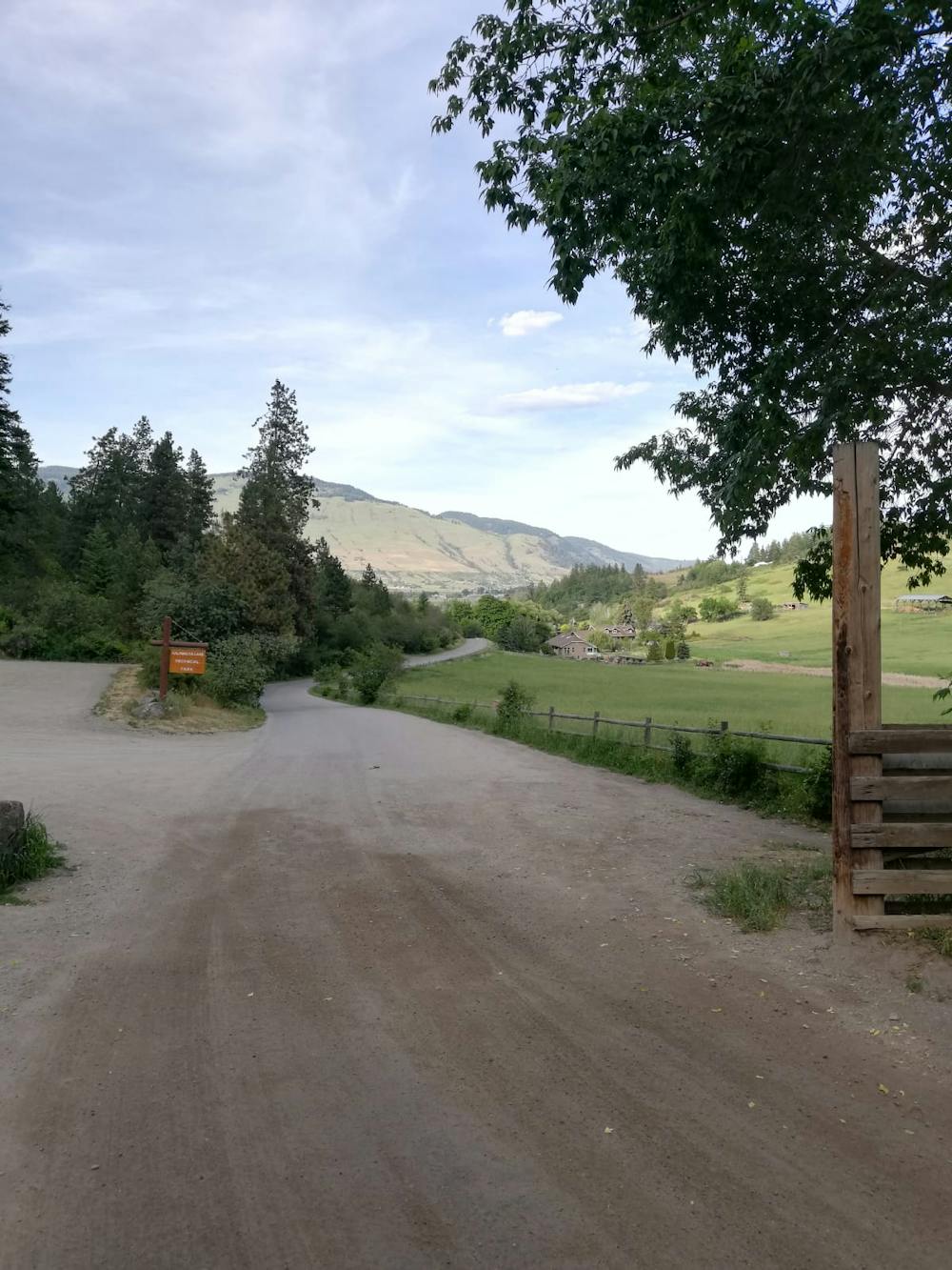
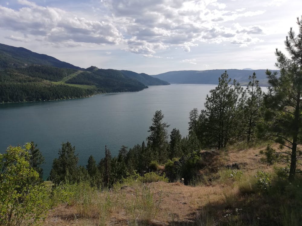
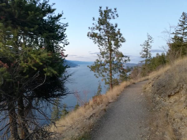
Start out at the Kalamalka Lake Provincial Park main parking lot and head west. Undulate to the viewpoint called Rattlesnake Lookout which offers a fabulous panorama across the northern part of Kalamalka Lake. Retrace your steps initially and then take a wonderful path that hangs above the lake and climbs before descending down to Cosens Bay.
Either stop at the Bay and enjoy the serenity or keep on moving east up a trail that ascends gradually towards the Kalamalka Lake Provincial Park Cosens Bay parking lot. Take a second to admire the nearby ranches, which look like lovely, peaceful places to live. One day....
Head north from the parking lot and gradually swing around the northern end of the Kalamalka Lake Provincial Park, gradually climbing all the way. Climb all the way up to a ridge line and follow this as it takes you on a scenic journey high above the lake.
Drop off the ridge when it begins to descend and takes you northwards towards the Red Gate parking lots. Just before reaching it, cut off left and descend down to the start point.
Moderate
Hiking along trails with some uneven terrain and small hills. Small rocks and roots may be present.

The trail contains some obstacles such as outcroppings and rock which could cause injury.
Away from help but easily accessed.
3.5 km away
A long and peaceful journey through some beautiful forests.
Severe Hiking
3 routes · Hiking