3.1 km away
Mount Boucherie
A classic Okanagan peak offering a wonderful combination of nature and city
Moderate Hiking
- Distance
- 4.8 km
- Ascent
- 305 m
- Descent
- 305 m
A stunning trip around one of West Kelowna's best situated parks
Hiking Moderate

With ease of access and a real feeling of tranquility, the appeal of Kalamoir Regional Park is clear to see. The only mystery is why it isn't busier!
The area is accessed via a 10 minute drive from the William R. Bennett bridge which separates Kelowna and West Kelowna, and there's a large lakefront parking lot from where to start this hike. There are toilets and picnic benches too, so it's a nice spot to have lunch before setting off on your hike.
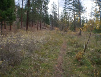
There are a selection of paths to explore in the long, thin strip of land which makes up the park and this loop is just our suggestion for a route - you'll struggle to get lost if you decide to "freestyle" things a bit!
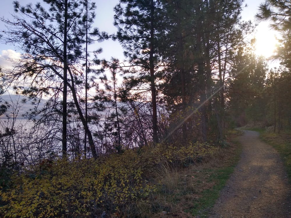
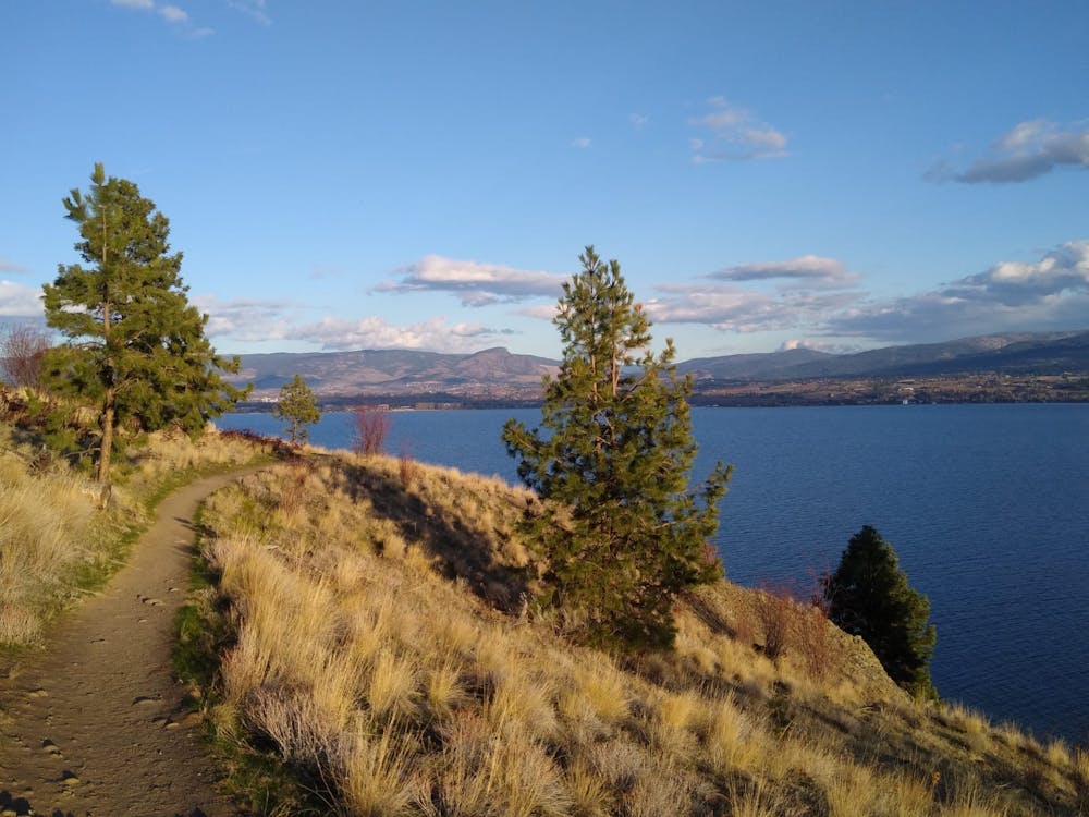
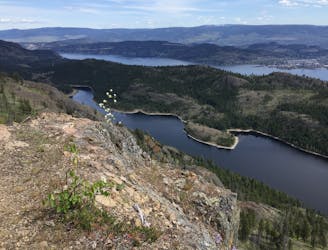
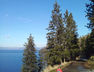
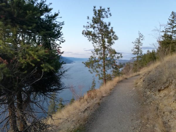
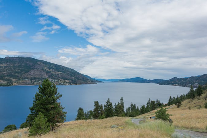
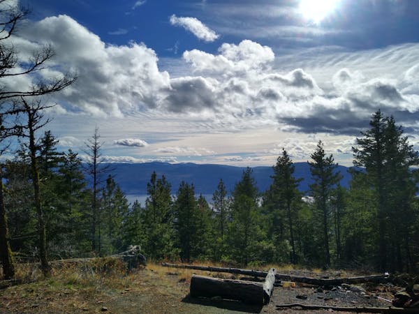
Head south and climb up through trees before swinging around to the north and beginning the beautiful high traverse along the upper part of the park. The traverse offers some epic views to the north and you'll be able to pick out some of Kelowna's better known landmarks as you stroll along. You'll also pass some of West Kelowna's most desirable houses - get onto a real estate website when you get home and have a look at what those views are worth!
Some sections of the traverse are above cliffs and there are some points at which losing your footing would not be advised, but for 99% of the hike you can lose yourself in the view and the splendour of the Okanagan Valley.
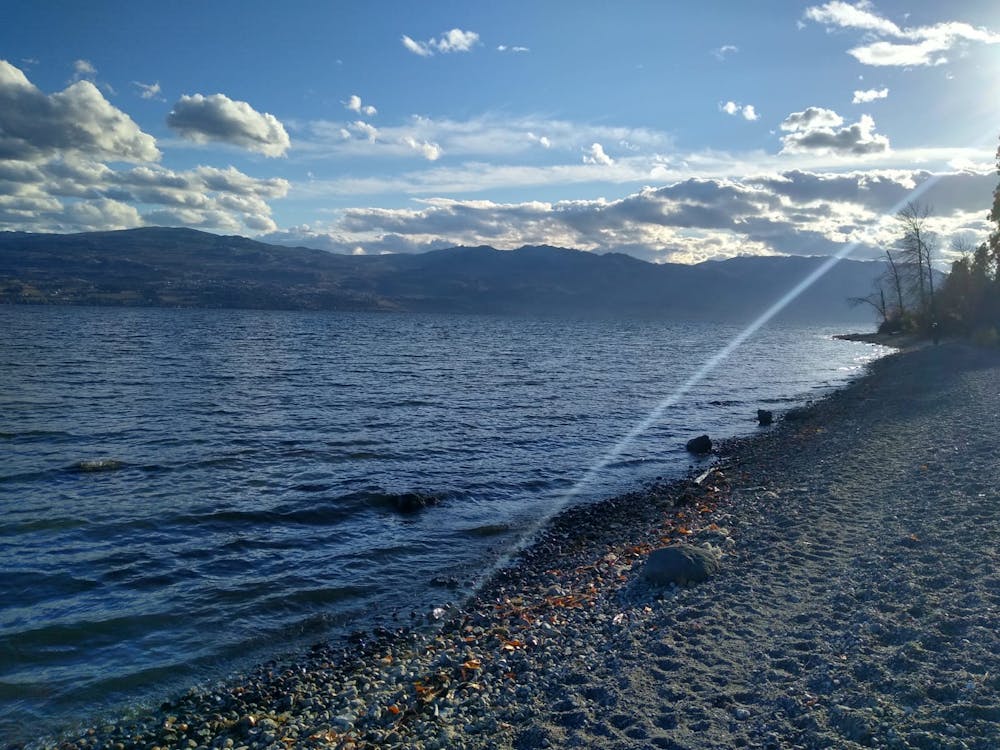
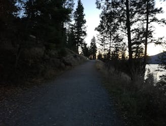
Cross over Collens Hill Road (the access road for the parking lot) and then descend down through forests to reach the lake shore. Either hike along the beach itself or the smooth path a couple of metres up from it all the way back to the parking lot.
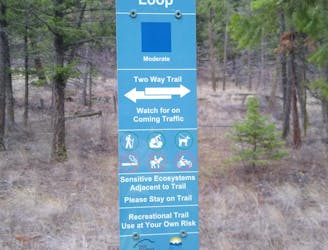
Moderate
Hiking along trails with some uneven terrain and small hills. Small rocks and roots may be present.

The trail contains some obstacles such as outcroppings and rock which could cause injury.
Away from help but easily accessed.
3.1 km away
A classic Okanagan peak offering a wonderful combination of nature and city
Moderate Hiking
4 km away
A peaceful, easy stroll to one of the Okanagan's most beautiful lakes.
Easy Hiking
4.4 km away
One of the Okanagan's finest hikes to a peaceful and remote-feeling lake.
Moderate Hiking
5.6 km away
A challenging and scenic hike right on the edge of Shannon Lake
Difficult Hiking
7.5 km away
Fabulous views on THE classic Kelowna hike.
Moderate Hiking
7.5 km away
A lovely stroll to one of Kelowna's best known landmarks
Moderate Hiking
8.1 km away

A long climb leads to a stunning and peaceful campsite
Difficult Hiking
3 routes · Hiking
3 routes · Hiking
7 routes · Mountain Biking · Hiking