2.9 km away
Carrot Mountain
A challenging and scenic hike right on the edge of Shannon Lake
Difficult Hiking
- Distance
- 4.7 km
- Ascent
- 561 m
- Descent
- 561 m
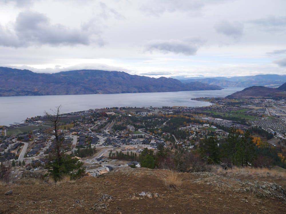
A classic Okanagan peak offering a wonderful combination of nature and city
Hiking Moderate

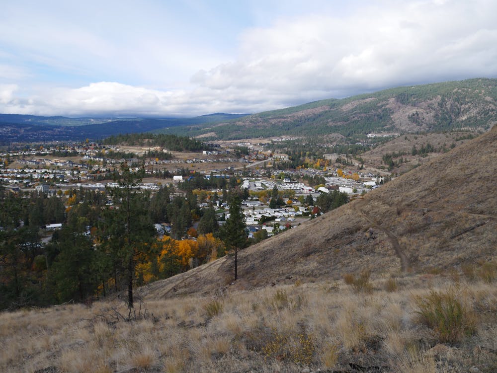
Sitting in amongst the (ever growing) suburbs of West Kelowna, Mount Boucherie is a famous and easily identifiable landmark. The steep sides of the mountain mean that the housing developments sprouting up across West Kelowna are unlikely to ever encroach on its slopes, so no matter how much the city grows Mount Boucherie will always be wild.
The hike is straightforward enough but very steep in places and despite the relatively meagre height gain, this feels like a tough trip! If you want to make it significantly easier, simply do an out-and-back on the path we've marked as the descent.
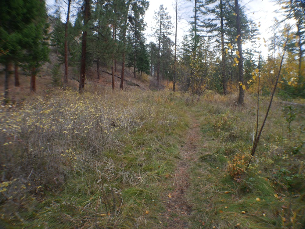
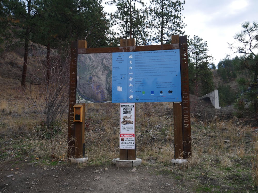
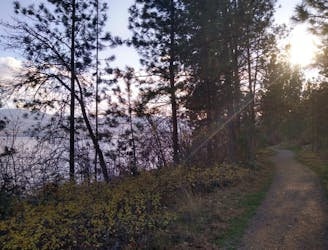
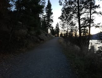
Park up at the southern access point to the trails and begin hiking up the rather uninviting-sounding Andesite Grinder Trail. The trail is indeed a bit of a grind but it's an enjoyable one which takes you into peaceful forests which feel much further away from civilisation than they really are. As mentioned earlier the path is very steep in places but there are some gentler sections too, and the whole ascent isn't too long so keep on going and you'll soon find yourself enjoying the spectacular summit vista.
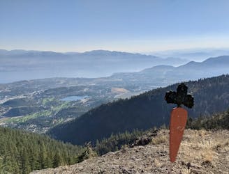
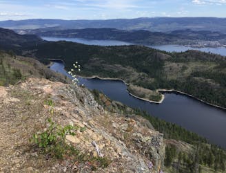
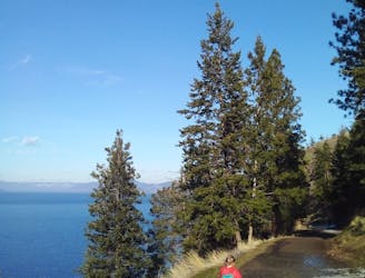
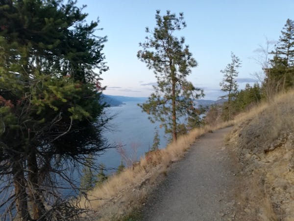
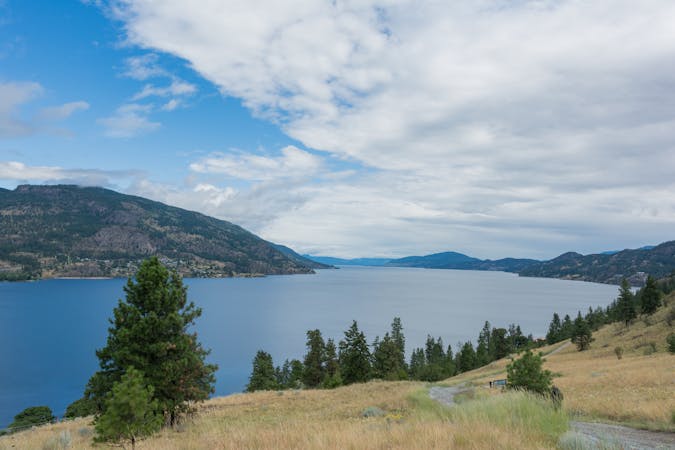
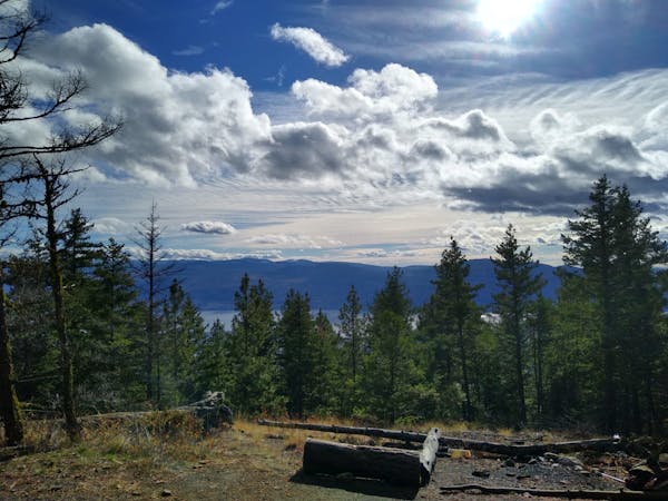
Kelowna itself isn't really visible from the summit because some dense trees obscure the view to the north, but there's an epic view to the south down Okanagan Lake, and east to the peaks of Myra Bellevue Provincial Park. In October and November you should even be able to see some snowy peaks in the distance.
Having filled a memory card with landscape photos, descend easily back to the parking lot via a gentle and well maintained descent path.
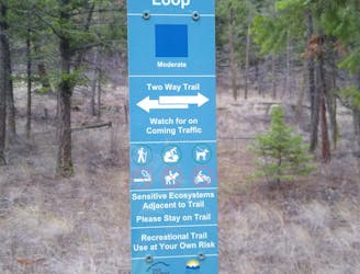
Moderate
Hiking along trails with some uneven terrain and small hills. Small rocks and roots may be present.

The trail contains some obstacles such as outcroppings and rock which could cause injury.
Away from help but easily accessed.
2.9 km away
A challenging and scenic hike right on the edge of Shannon Lake
Difficult Hiking
3.1 km away
A stunning trip around one of West Kelowna's best situated parks
Moderate Hiking
3.2 km away
A peaceful, easy stroll to one of the Okanagan's most beautiful lakes.
Easy Hiking
4.3 km away
One of the Okanagan's finest hikes to a peaceful and remote-feeling lake.
Moderate Hiking
9.2 km away
Fabulous views on THE classic Kelowna hike.
Moderate Hiking
9.2 km away
A lovely stroll to one of Kelowna's best known landmarks
Moderate Hiking
3 routes · Hiking
3 routes · Hiking
7 routes · Mountain Biking · Hiking