18 routes · Hiking
Follow the Lillooet River through tranquil forests, then enjoy a relaxing break a natural hot springs.
Hiking Moderate

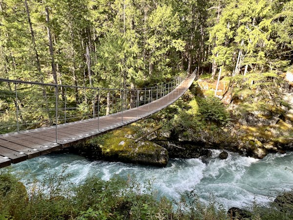
Contrary to most hikes in the Pemberton area, this hike is best enjoyed during the winter when you can soak in the natural hot springs along the banks of the Lillooet River. Crampons or similar traction devices are recommended, though the overall difficulty is moderate at most. As it has recently gained popularity as one of the top family-friendly hikes to enjoy, an early start to your day is advised so that you have a spot to soak when you arrive.
The trailhead for this hike is on a remote forest service road northwest of Pemberton. Expect rugged road conditions and potentially muddy areas, and plan to fill up on fuel and supplies before leaving town.
Though short in length, you could turn this into an overnight trip by utilizing a backcountry campsite near the springs. Due to increased bear activity, the area is closed from April to mid-November.
Moderate
Hiking along trails with some uneven terrain and small hills. Small rocks and roots may be present.

The trail contains some obstacles such as outcroppings and rock which could cause injury.
Away from help but easily accessed.
18 routes · Hiking