9.8 km away
PNW Ridges: Mount McGuire
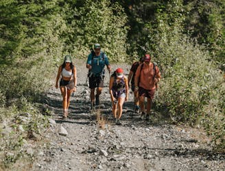
An epic ridge at the top with an optional scree descent
Moderate Hiking
- Distance
- 13 km
- Ascent
- 1 km
- Descent
- 1 km
The descent for Mt. Slesse NE Buttress Descent
Hiking Difficult

This is a popular hiking route which is generally considered to be difficult. It's very remote, it features high exposure and is typically done between July and September. From a low point of 640 m to the maximum altitude of 2.4 km, the route covers 10 km, 223 vertical metres of ascent and 1917 vertical metres of descent.
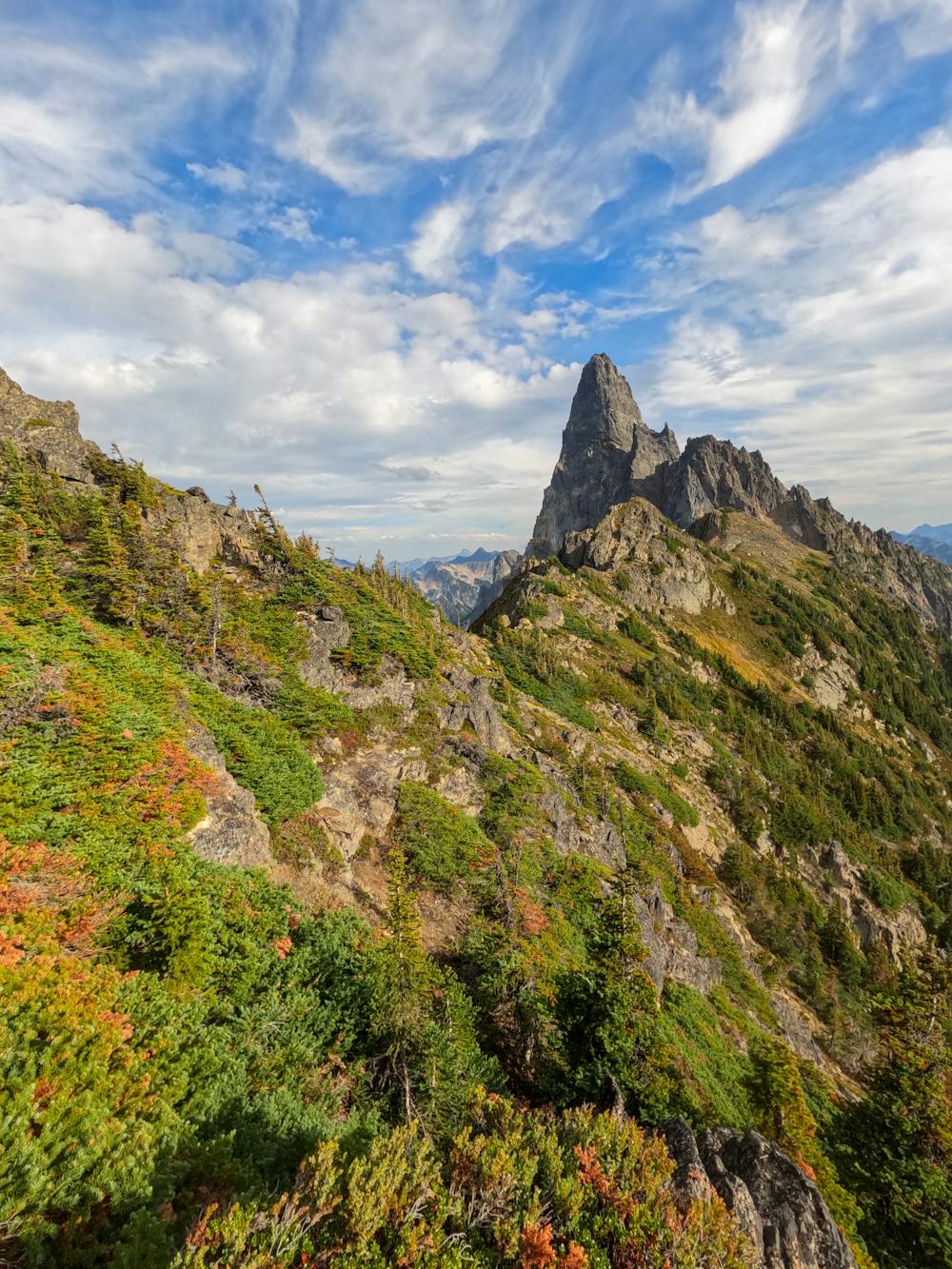
It gets you down from Mt. Slesse NE Buttress Descent
Difficult
Hiking trails where obstacles such as rocks or roots are prevalent. Some obstacles can require care to step over or around. At times, the trail can be worn and eroded. The grade of the trail is generally quite steep, and can often lead to strenuous hiking.

Some trail sections have exposed ledges or steep ascents/descents where falling could cause serious injury.
Little chance of being seen or helped in case of an accident.
9.8 km away
An epic ridge at the top with an optional scree descent
Moderate Hiking