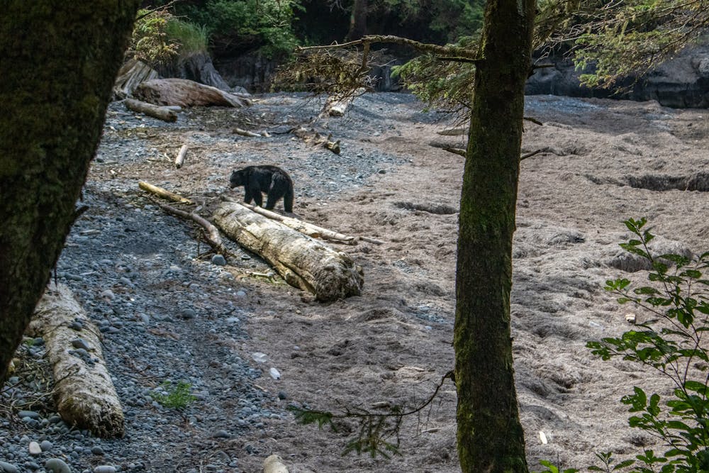
58 m away
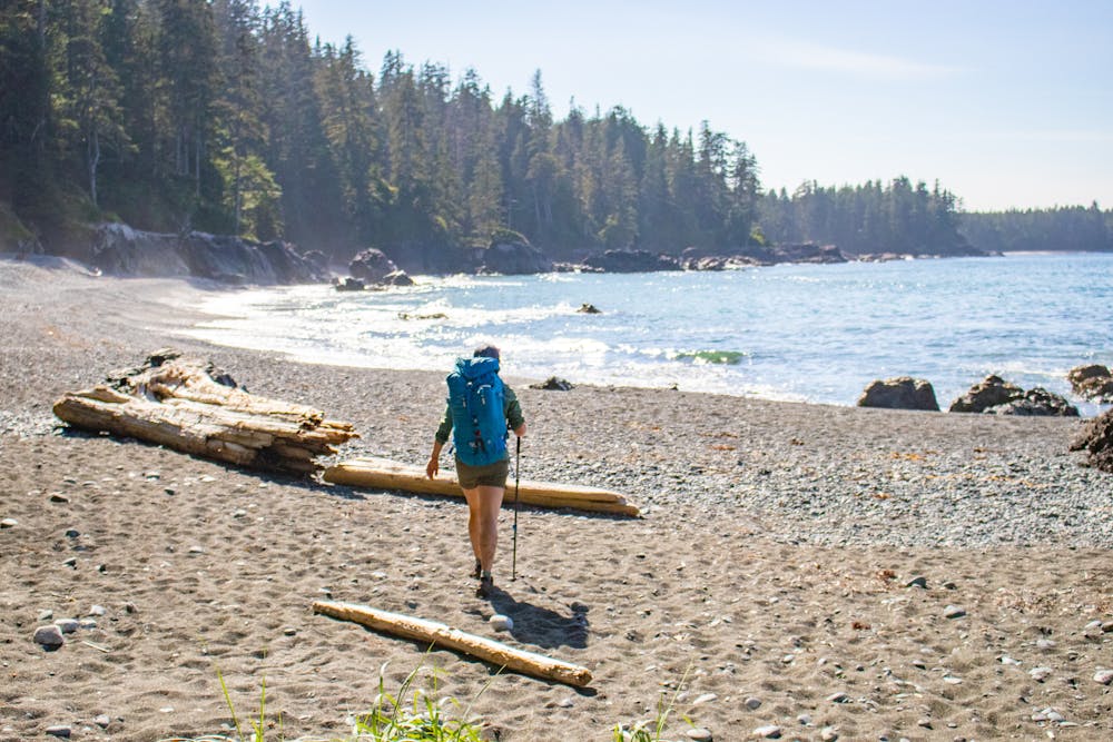
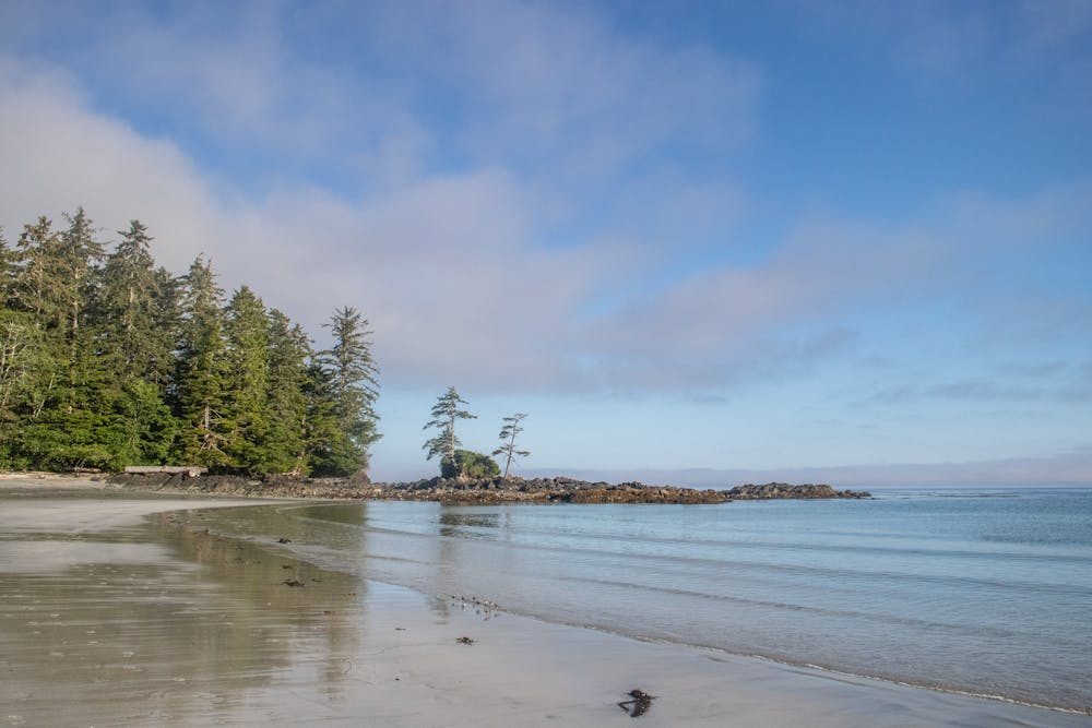
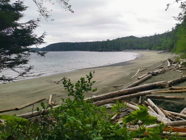
Day 1 North Coast Trail
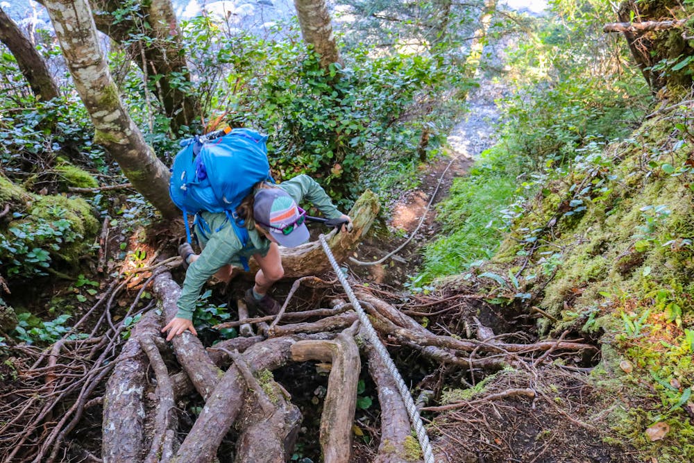
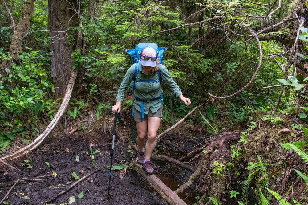
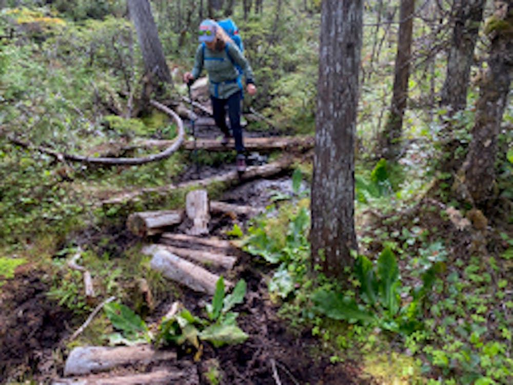
An extremely difficult start, but well worth the effort as you begin one of the best coastal trails in Canada.
Severe Hiking
- Distance
- 9 km
- Ascent
- 341 m
- Descent
- 361 m
The West Coast Trails Wild Sibling
Hiking Difficult

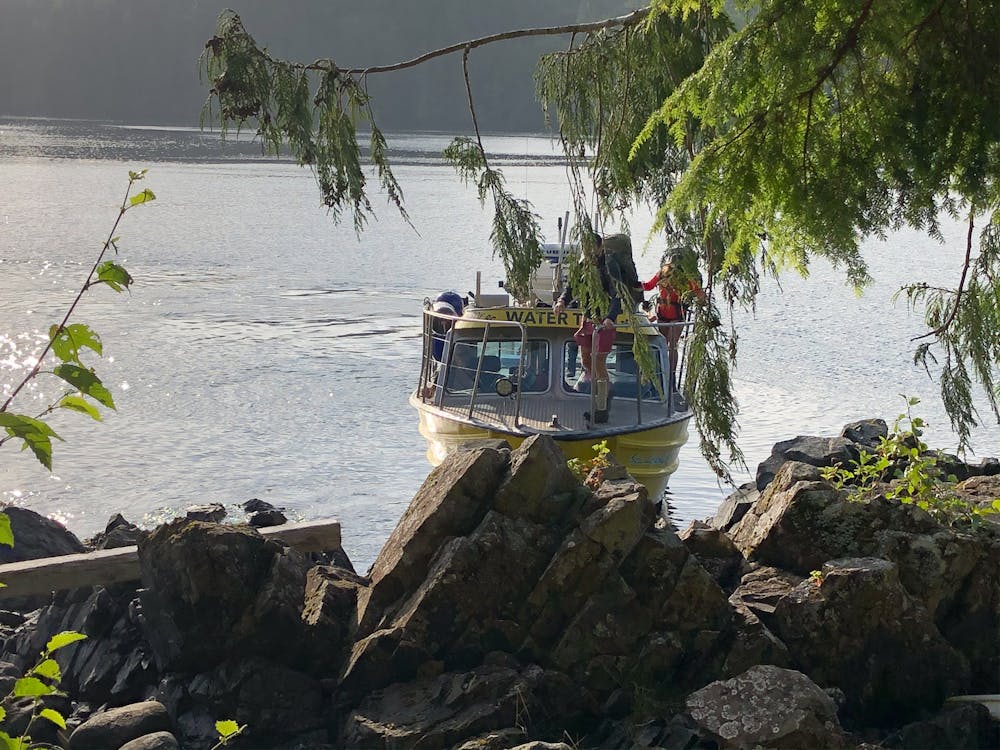
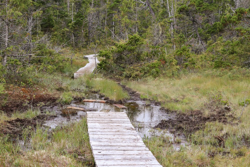
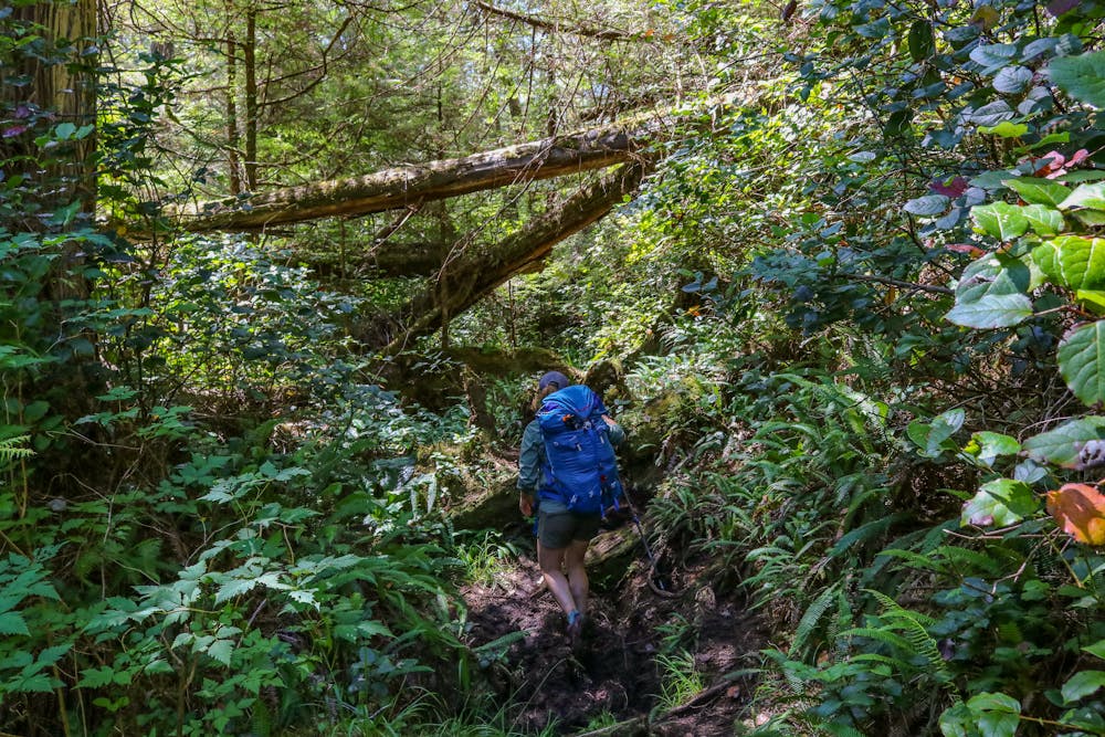
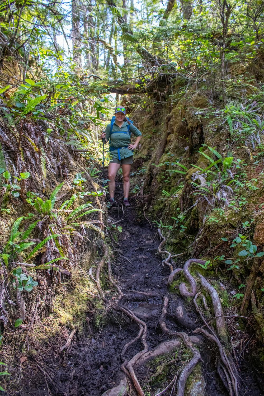
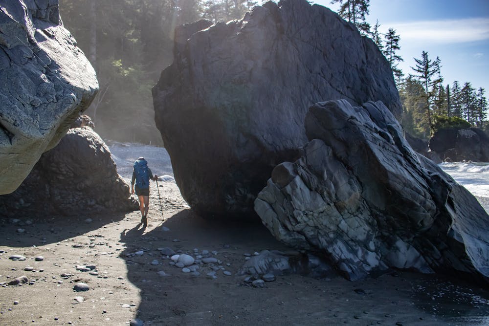
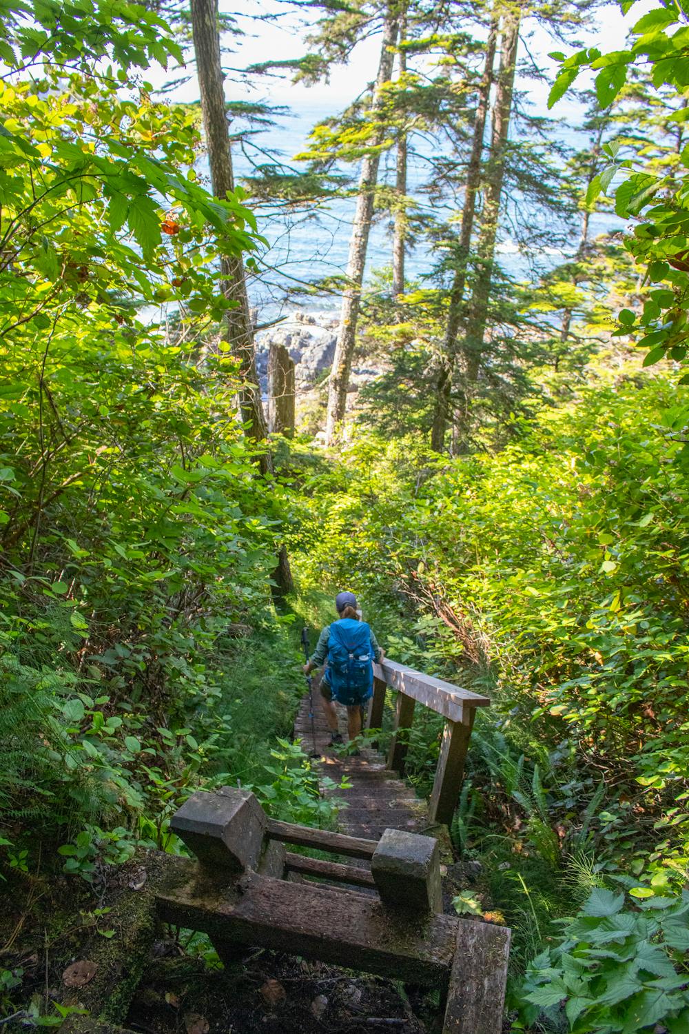
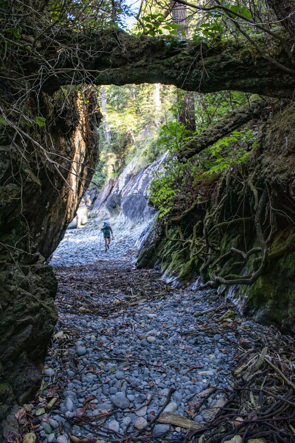
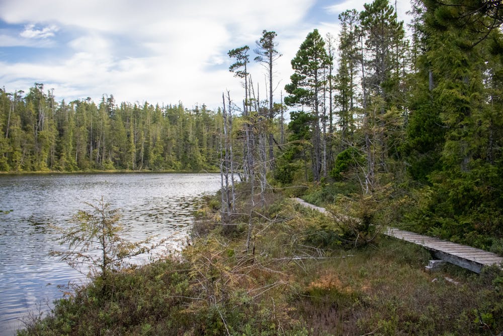
The standard route involves drop off at Shushartie Bay by water taxi. From there it's a muddy, heavily rooted climb across the Shushartie overland, then down to the beaches. The route follows the coast from here popping in and out of woods. There are several campsites along specific beaches with food storage facilities and vault toilets. The trail links up with the Cape Scott Trail towards it's western end. Five to six days are the most common trip lengths.
Difficult
Hiking trails where obstacles such as rocks or roots are prevalent. Some obstacles can require care to step over or around. At times, the trail can be worn and eroded. The grade of the trail is generally quite steep, and can often lead to strenuous hiking.

The path is on completely flat land and potential injury is limited to falling over.

Little chance of being seen or helped in case of an accident.
58 m away
An extremely difficult start, but well worth the effort as you begin one of the best coastal trails in Canada.
Severe Hiking
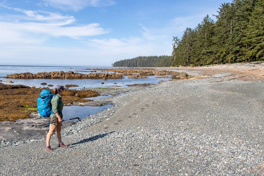
7.7 km away
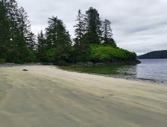
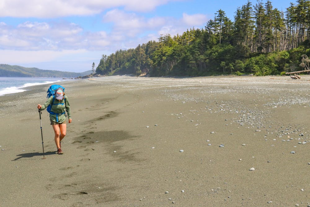
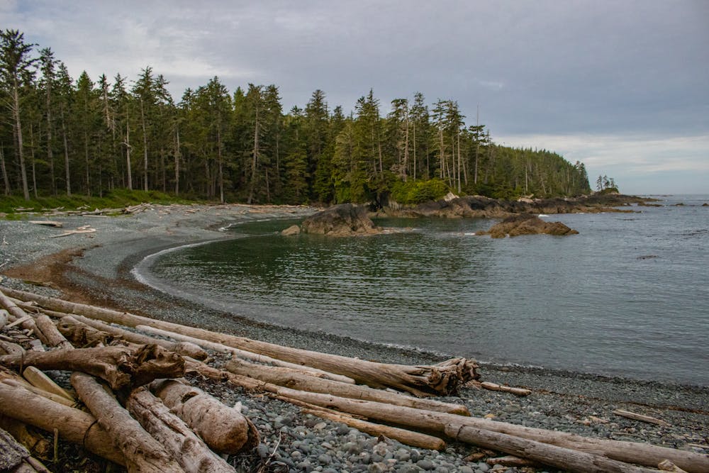
A much more scenic day than day 1, with some of the best beaches on Vancouver Island to be found at Cape Sutil
Difficult Hiking
6 routes · Hiking

5 routes · Hiking · Trail Running