9.8 km away
Twin Falls Viewing Platform
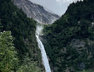
Hike to an incredible viewpoint of a double waterfall.
Easy Hiking
- Distance
- 836 m
- Ascent
- 60 m
- Descent
- 60 m
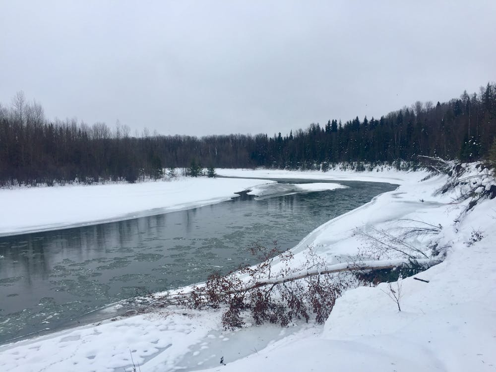
A scenic trail that follows the shores of the Bulkley River, Chicken & Kathlyn Creeks.
Hiking Easy

This is an easy loop suitable for all the family and all abilities.
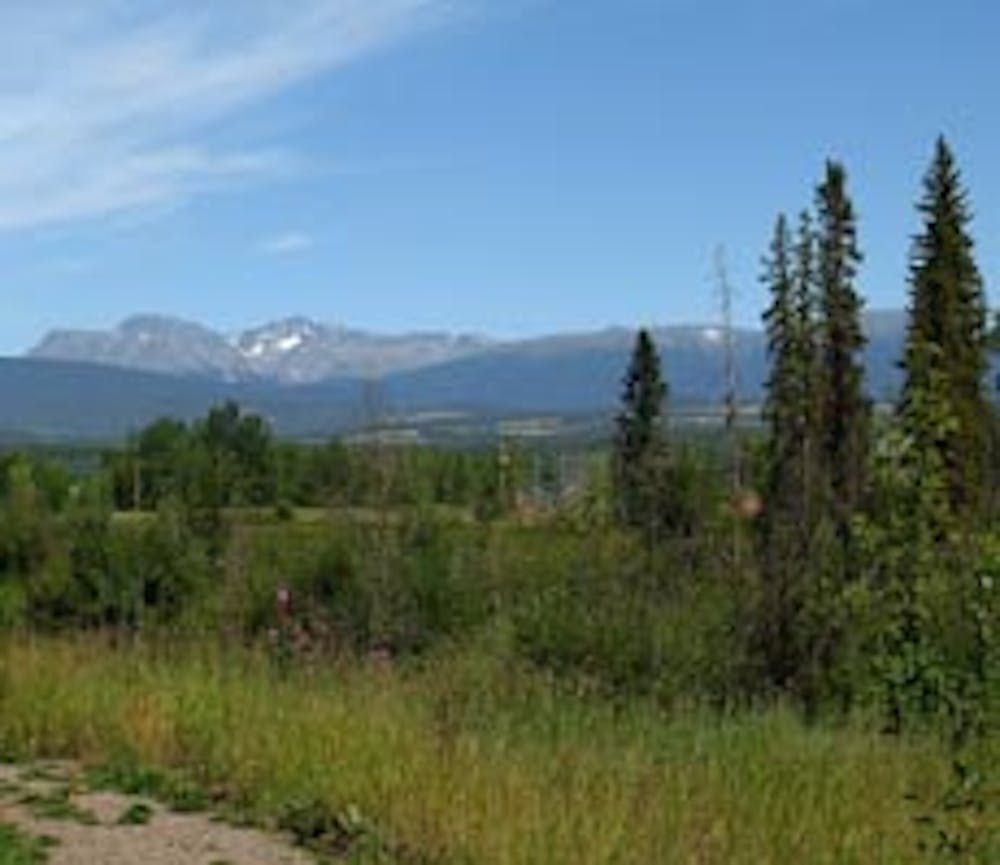
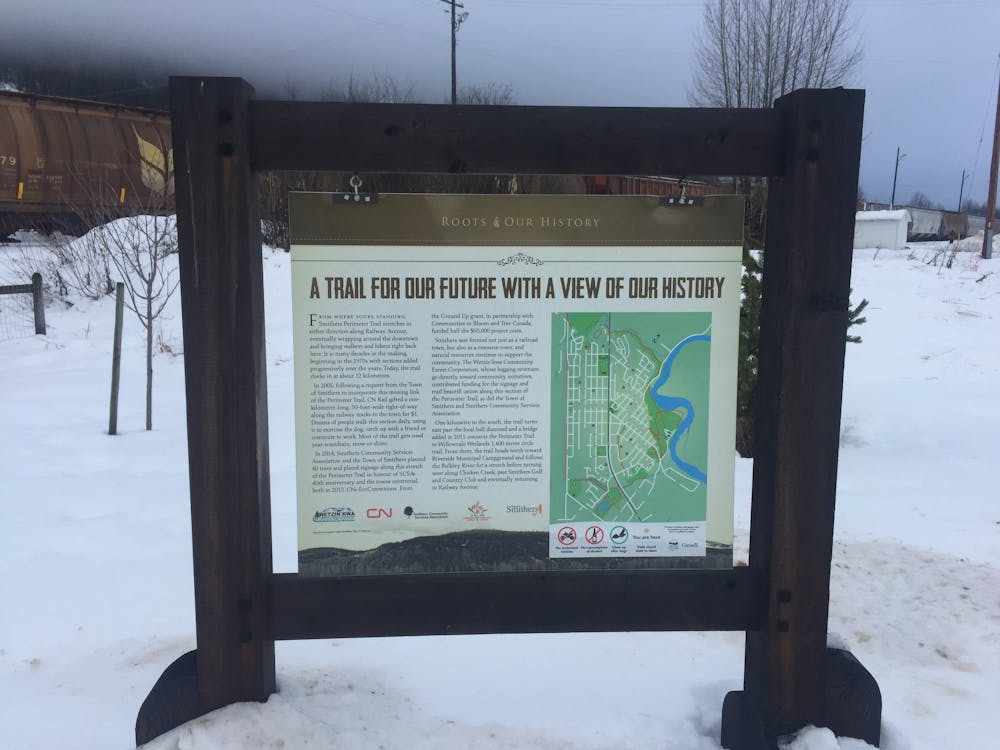
It encompasses the breath-taking town of Smithers and is an excellent way to explore the many community parks and designated green space in the region.
Smithers is a mecca for sporting and outdoor enthusiasts all year round.
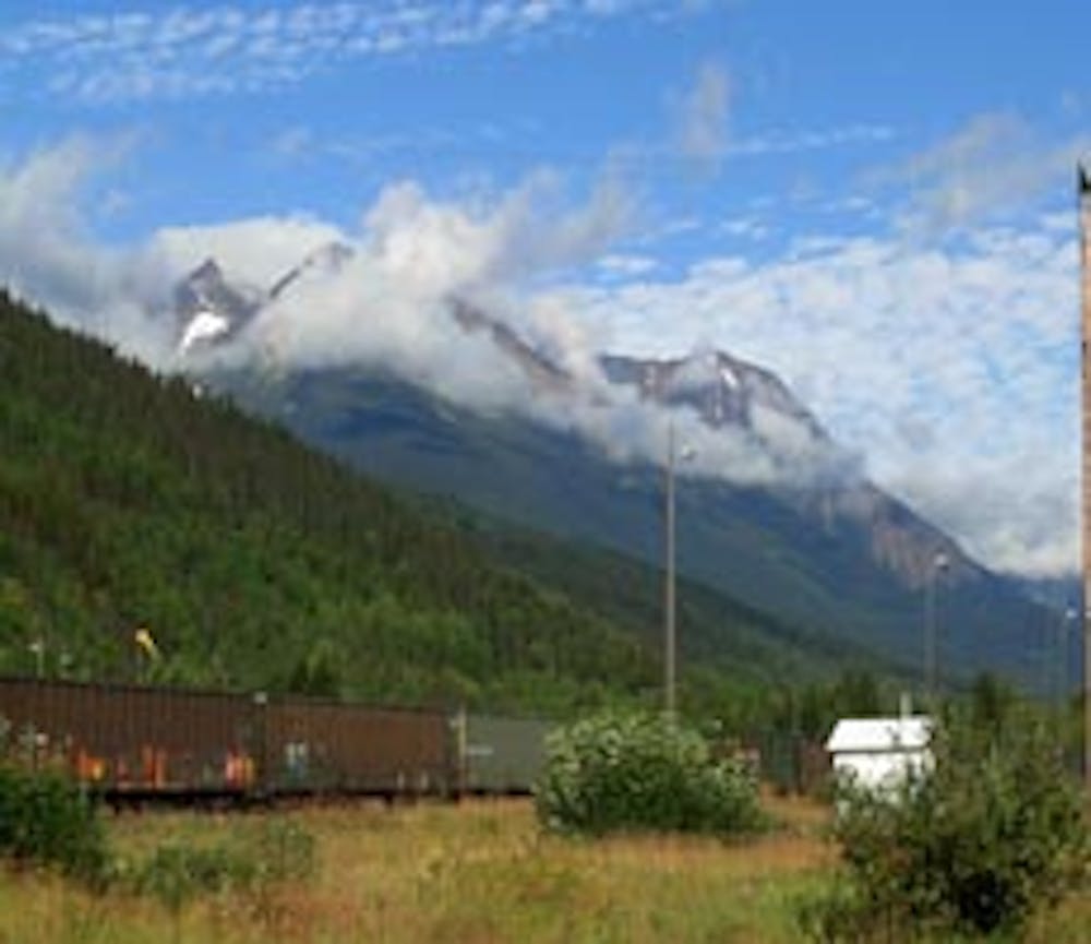
A scenic trail that weaves around the outer perimeter of the town, follows the shores of the Bulkley River , Chicken Creek and Kathlyn Creek, in and out of wooded areas on earthy and gravel tracks.
Look out for the miles long cargo trains along the railway!
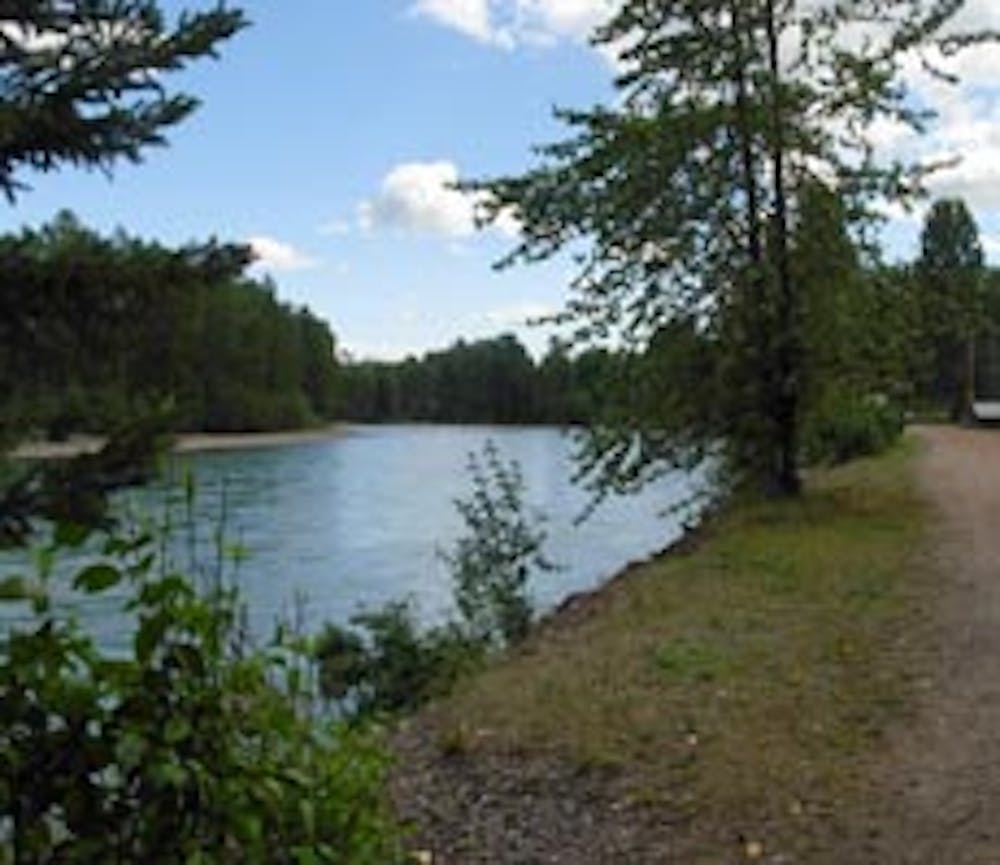
Many of the best scenic highlights are found along the Bulkley River and throughout Riverside Park.
There are occasional rest areas along the route that offer scenic highlights.
Some bathroom facilities and picnic tables can be found at Riverside Park campground.
After hiking the route rejuvenate at a sidewalk cafe in town.
This route is possible year round, perhaps with the use of snowshoes when deep snow.
Easy
Walking along a well-kept trail that’s mostly flat. No obstacles are present.

The path is on completely flat land and potential injury is limited to falling over.
Close to help in case of emergency.
9.8 km away
Hike to an incredible viewpoint of a double waterfall.
Easy Hiking