9.8 km away
Smithers' Perimeter Trail
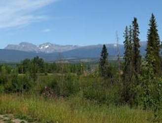
A scenic trail that follows the shores of the Bulkley River, Chicken & Kathlyn Creeks.
Easy Hiking
- Distance
- 9.8 km
- Ascent
- 111 m
- Descent
- 111 m
Hike to an incredible viewpoint of a double waterfall.
Hiking Easy

The jaunt up to the Twin Falls viewing platform might be short, but the view is spectacular! These twin waterfalls cascade ~550 feet down a rocky cliff face. The falls are primarily fed by the melting snow from the glacier tucked up in the bowl of Hudson Bay Mountain, out of site from the viewing platform. However, in the summertime, the right waterfall might not be flowing. The best time to view both waterfalls is after heavy rain or during the spring when the snow is melting.
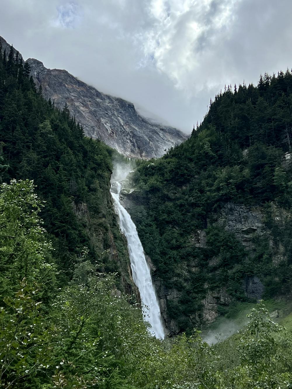
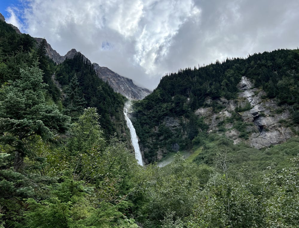
The hike to get to the viewing platform is short and well-maintained, with a manicured gravel surface. However, some of the pitches can seem fairly steep for the uninitiated. While most people will be able to make it to the falls, this wide trail is still too steep to be considered ADA-accessible.
The rest of the recreation site is itself a real gem. There are five designated campsites at the trailhead area, all of which are free to use. While they do tend to fill up quickly, if you can snag a site here, this is an excellent place to stop for the night while driving north or south along Highway 16 or after hiking to view the falls.
Easy
Walking along a well-kept trail that’s mostly flat. No obstacles are present.

The path is on completely flat land and potential injury is limited to falling over.
Close to help in case of emergency.
9.8 km away
A scenic trail that follows the shores of the Bulkley River, Chicken & Kathlyn Creeks.
Easy Hiking