8.5 km away
Day 6 North Coast Trail
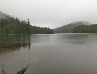
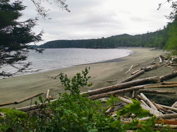
A welcomed return to civilisation as you hike out on the historic Cape Scott Trail
Moderate Hiking
- Distance
- 15 km
- Ascent
- 320 m
- Descent
- 303 m
A 700km+ jounrey across the entire length of Vancouver Island, with a terminus at Cape Scott, and another in Victoria
Hiking Extreme

The Vancouver Island Trail (VIT) is the longest trail on Vancouver Island at approximately 800 kms. It is a living trail that changes course over time based on weather conditions, water levels and human made factors. It is a continuous trail that passes through the traditional territories of many Indigenous Peoples from the Songhees in the south to the Tlatlasikwala in the north. The Vancouver Island Trail is essentially a hiking trail. Trail standards vary greatly, from paved sections in urban areas, to logging roads and railroad grades several meters wide to sections merely a route without any defined trail tread. Many of the trails that form linkages between existing trails have minimal width. Maintenance by volunteers cannot always keep up with ongoing windfall, deadfall, and incursion by brush, so do not expect the smooth, defined or even surfaced trails like those in established parks. If you hike at about 3 km/hr on such trails, plan for only 1-2 km/hr on our light trails. When navigating route sections with little or no defined trail tread, plan for even slower progress. The seven sections of the Trail vary a lot; only a few are suited to all levels of fitness and expertise. Some sections of the trail are steep or rough requiring scrambling over rocks or logs, while other sections are smooth and flat. The day hikes tend to be closer to settlements. Section hikes take 5-10 days and a complete thru-hike takes 1-2 months.
Extreme
Scrambling up mountains and along technical trails with moderate fall exposure. Handholds are necessary to navigate the trail in its entirety, although they are not necessary at all times. Some obstacles can be very large and difficult to navigate, and the grades can often be near-vertical. The challenge of the trail and the steepness of the grade results in very strenuous hiking. Hikes of this difficulty blur the lines between "hiking" and "climbing".

Some trail sections have exposed ledges or steep ascents/descents where falling could cause serious injury.

In the high mountains or remote conditions, all individuals must be completely autonomous in every situation.
8.5 km away
A welcomed return to civilisation as you hike out on the historic Cape Scott Trail
Moderate Hiking
6 routes · Hiking