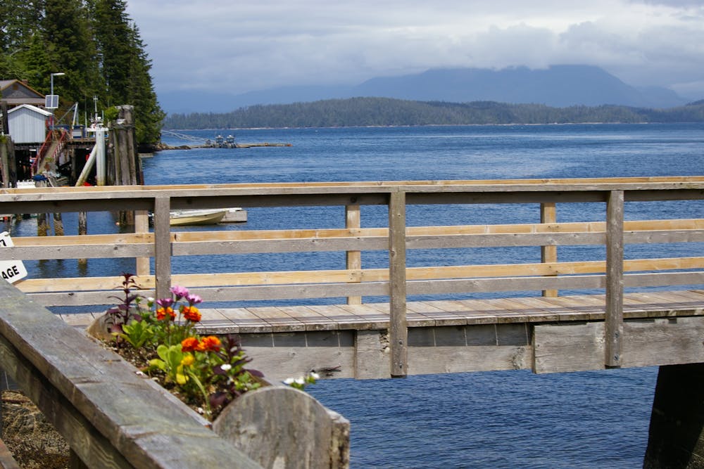
88 m away
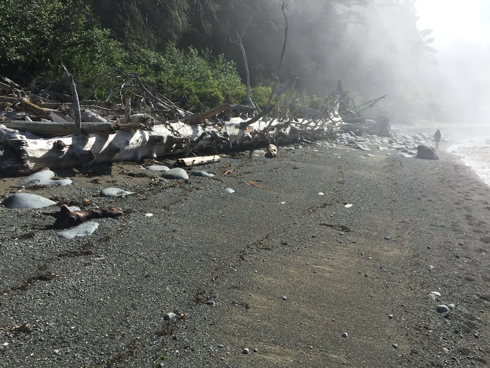
West Coast Trail Day 1
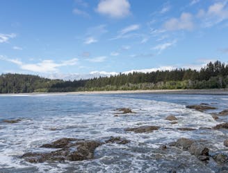
The start of an epic adventure on the world famous West Coast Trail
Moderate Hiking
- Distance
- 14 km
- Ascent
- 394 m
- Descent
- 413 m
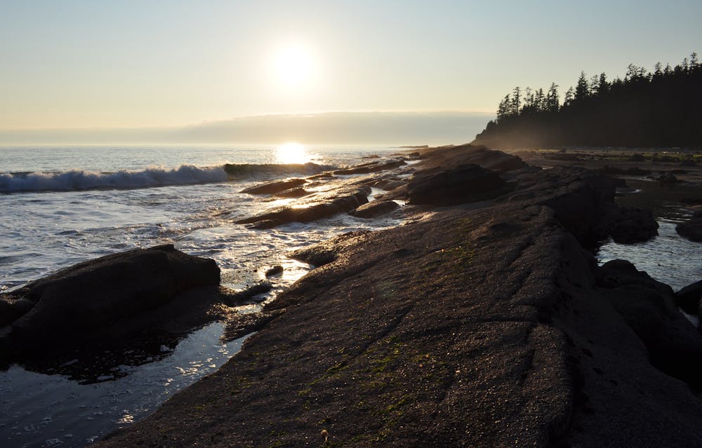
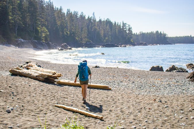
A spectacular 75 kilometre journey along the wild west coast of Vancouver Island.
Hiking Difficult

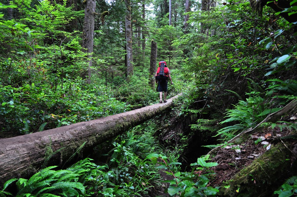
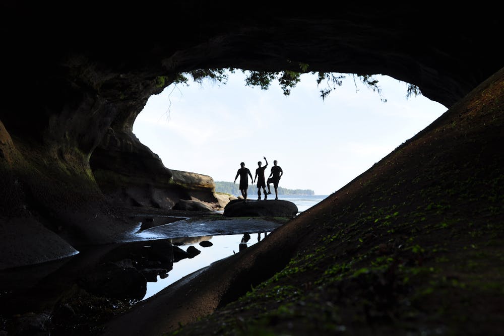
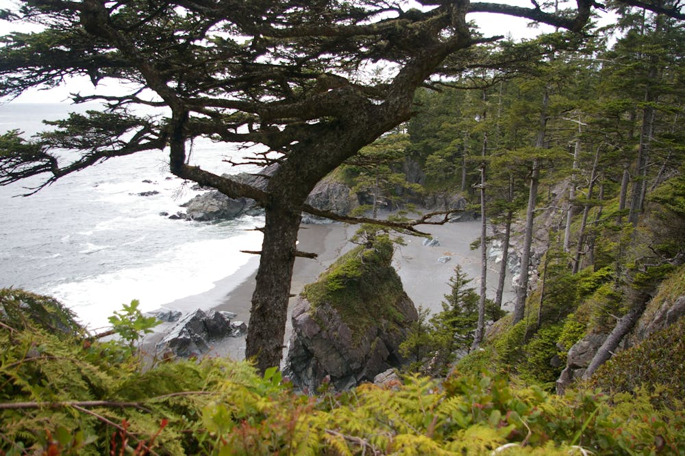
Winding its way along a beautiful and rugged coastline, hiking this trail is a true wilderness experience. It can be hiked in either direction but it is generally done north to south because reaching the trailheads is slightly easier this way, and it also means that you tackle the toughest part of the trail (the southern half) with a relatively light rucksack having consumed some of your supplies during the northern half of the trail!
Before embarking on the hike, be aware that a permit is required and these can be obtained by calling Hello B.C. Reservation Services on 1-800-495-5688 (within Canada and USA) or 250- 387-1642 (outside North America).
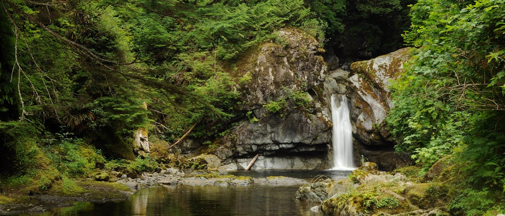
Once at the trailhead, get ready for a spell in the wilderness and get hiking! The trail is varied and winds onto and away from the coast throughout its length. Long sections of it are on beaches and there are also countless ladders which must be negotiated (no climbing skills are required, just a head for heights). There are also 2 sections that can only be crossed by ferries (which run regularly at both locations and cost $15) - the Gordon River trailhead and the Nitinat Narrows. Most hikers take 6 days to complete the trail and although it can certainly be done quicker, it is preferable to take your time and savour the experience! There is no accommodation on the trail and supplies can generally not be replenished en route (although Doug at the Nitinat Narrows sells some seafood and there is, in high season, a beach-front restaurant just south of the Carmanah Lighthouse which sells burgers and beer!) Regardless, carry enough food for the whole trip and carry out all rubbish.
The trail ends at Gordon River, from where it is a 2 hour drive back to Victoria. After 6 days of quiet trails and watching sunsets from your tent, arriving back into the city feels like quite a shock, but that beer will taste amazing.
Difficult
Hiking trails where obstacles such as rocks or roots are prevalent. Some obstacles can require care to step over or around. At times, the trail can be worn and eroded. The grade of the trail is generally quite steep, and can often lead to strenuous hiking.

Some trail sections have exposed ledges or steep ascents/descents where falling could cause serious injury.
Little chance of being seen or helped in case of an accident.
88 m away
The start of an epic adventure on the world famous West Coast Trail
Moderate Hiking
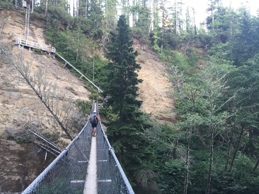
9.5 km away
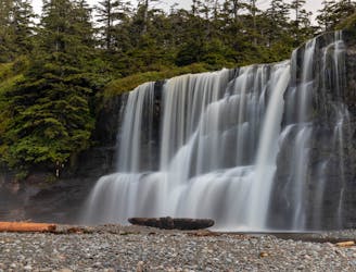
The day that has everything, beaches, ladders, cable cars & waterfalls; you see it all on this part of the trail.
Difficult Hiking
7 routes · Hiking
5 routes · Hiking · Trail Running