954 m away
Top 5 Cumberland Trails in 1 Ride
A fantastic link up of 5 of Cumberland's best trails.
Severe Mountain Biking
- Distance
- 18 km
- Ascent
- 534 m
- Descent
- 534 m
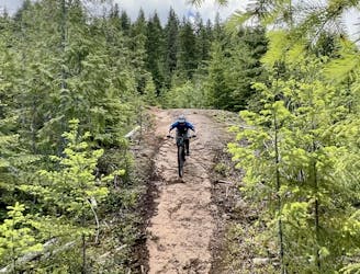
Another sampling of classic island single track riding
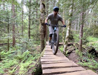
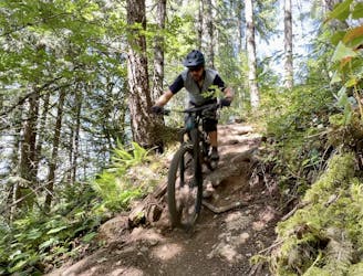
Mountain Biking Moderate

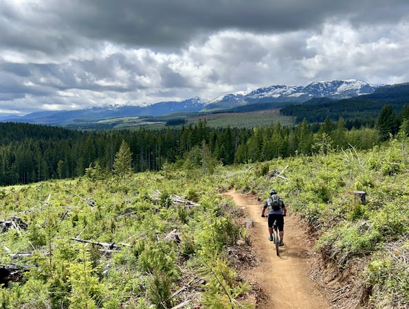
This is a popular mountain biking route which is generally considered to be moderate. It's not remote, it features medium exposure and is typically done between April and October. From a low point of 142 m to the maximum altitude of 599 m, the route covers 34 km, 1016 vertical metres of ascent and 1012 vertical metres of descent.


Another sampling of classic island single track riding
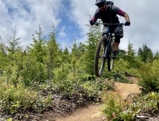
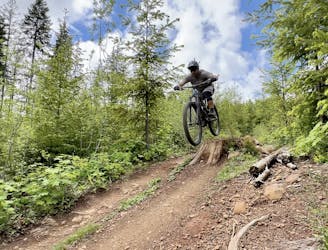
Moderate
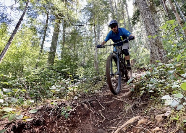
Mostly stable trail tread with some variability, with unavoidable obstacles 8in/20cm tall or less. Other obstacles such as rock gullies and steep sections may exist. Ideal for lower intermediate riders.

The trail contains some obstacles such as outcroppings and rock which could cause injury.

Close to help in case of emergency.
954 m away
A fantastic link up of 5 of Cumberland's best trails.
Severe Mountain Biking
956 m away
Combine Cumberland's best flow trails into one big ride!
Difficult Mountain Biking
956 m away
A fantastic single black leads into a more challenging double black trail.
Extreme Mountain Biking
956 m away
One of the most famous tech runs in Cumberland, this loop runs deep into the trail network.
Extreme Mountain Biking
956 m away
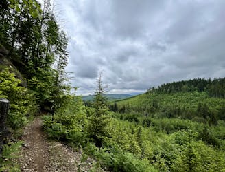
This loop into the Eastern Bloc leads to the best viewpoint in all of Cumberland Forest!
Difficult Mountain Biking
956 m away
A flowy loop that accesses two of the best views in Cumberland Forest.
Difficult Mountain Biking
956 m away
One of Cumberland's most famous double black diamond runs.
Extreme Mountain Biking
957 m away

A great route for warming up to Cumberland's double black trails.
Extreme Mountain Biking
957 m away

A great progression ride that's easy to access near the entrance to Cumberland Forest.
Difficult Mountain Biking
957 m away
A pedal-forward trail ride into the Eastern Bloc.
Severe Mountain Biking
6 routes · Mountain Biking
4 routes · Mountain Biking
5 routes · Mountain Biking
10 routes · Mountain Biking