2.8 km away
The Dewdney Trail
A Rossland classic which delivers the goods!
Difficult Mountain Biking
- Distance
- 25 km
- Ascent
- 811 m
- Descent
- 811 m
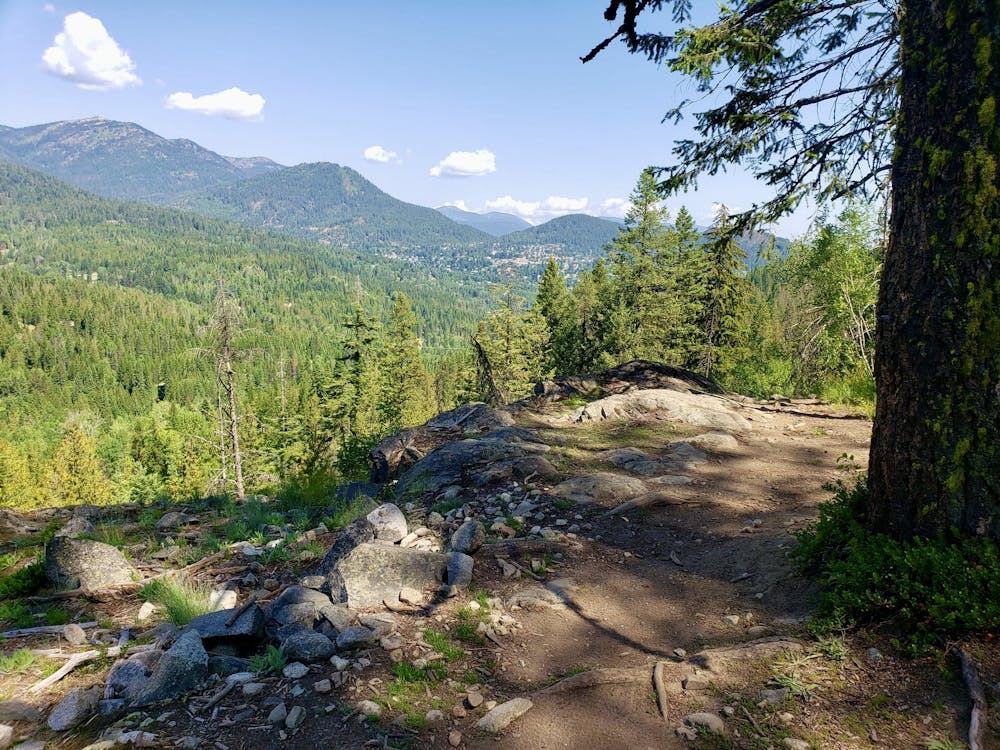
A quick climb leads to a rocky and technical challenge - as well as some epics views!
Mountain Biking Severe

Easily accessed from Rossland via a road and then an FSR, this is an ideal post or pre-work quick hit. The riding is tough, the views epic, and the ride up simple and non-technical.
There's plenty of parking at the start of the climb if you drive up instead of riding from town, but the parking lot is surrounded by private property, so please park respectfully and don't block any driveways.
Once underway the first job is to make the short climb up Malde Creek Forest Service Road. The smooth road and consistent angle make the FSR a straightforward, punchy climb which feels remarkably short for the amount of height you gain on it.
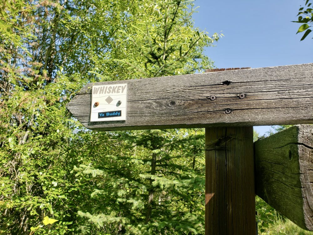
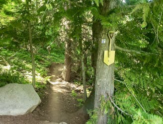
Keep an eye on FATMAP so as not to miss the entry on the left to Birch Main FSR - take this and follow it easily to the well-signposted entrance of Whiskey. (If you really want to add some more difficulty (both physical and technical) to this ride then continuing just past the entry to Birch Main and riding Whiskey on the Rocks is advised - but be warned that it's not for the faint of heart!)
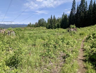
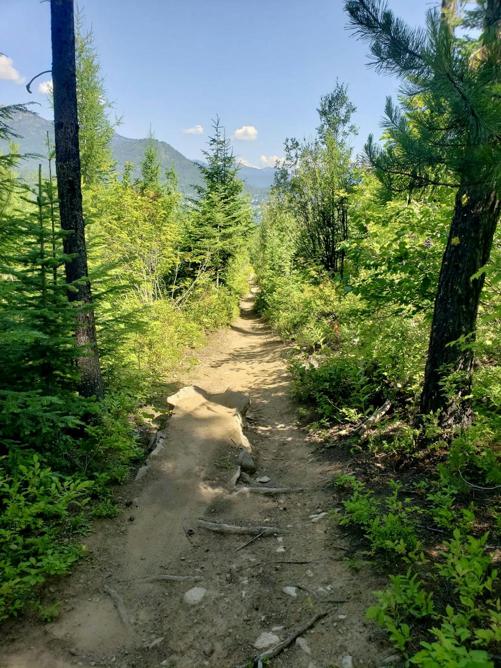
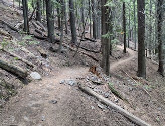
Once riding down Whiskey there is no warmup, with the first rocky step appearing on the very first corner! From there the riding in the upper section is steep, technical, rocky and - at times - intimidating.
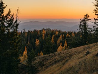
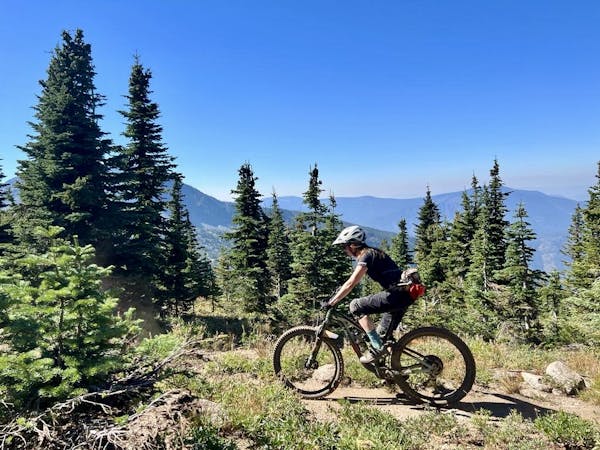
As you get lower down the line it gets increasingly mellow and flowy, allowing you to hold a bit more speed and take in the views, which reveal themselves more and more as you descend.
The trail leads down to the Railgrade FSR - turn left on this and follow it for a minute back to the parking lot.
Severe
Widely variable, narrow trail tread with steeper grades and unavoidable obstacles of 15in/38cm tall or less. Obstacles may include unavoidable bridges 24in/61cm wide or less, large rocks, gravel, difficult root sections, and more. Ideal for advanced-level riders.

Some trail sections have exposed ledges or steep ascents/descents where falling could cause serious injury.
Little chance of being seen or helped in case of an accident.
2.8 km away
A Rossland classic which delivers the goods!
Difficult Mountain Biking
2.9 km away
An easy and fun cruise through peaceful forests
Moderate Mountain Biking
5.1 km away
Ride up Rossland's landmark hill and enjoy a fun roll down
Moderate Mountain Biking
5.2 km away
An exceptional trail through forests and meadows
Difficult Mountain Biking
8 routes · Mountain Biking