3 km away
Begbie Shoulder - 112 Gully
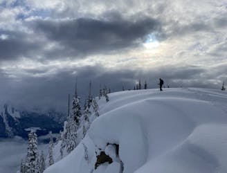
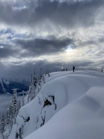
A beautiful romp through some classic Monashee Mountains terrain, best sampled on pow days.
Difficult Ski Touring
- Distance
- 9.9 km
- Ascent
- 1.4 km
- Descent
- 1.4 km
An adventure-filled romp in the alpine.
Ski Touring Difficult

This route is generally accessed via the sled road on a sled. There are alternate ways up but ski touring up the sled road is not one of them....unless you like that kind of thing.
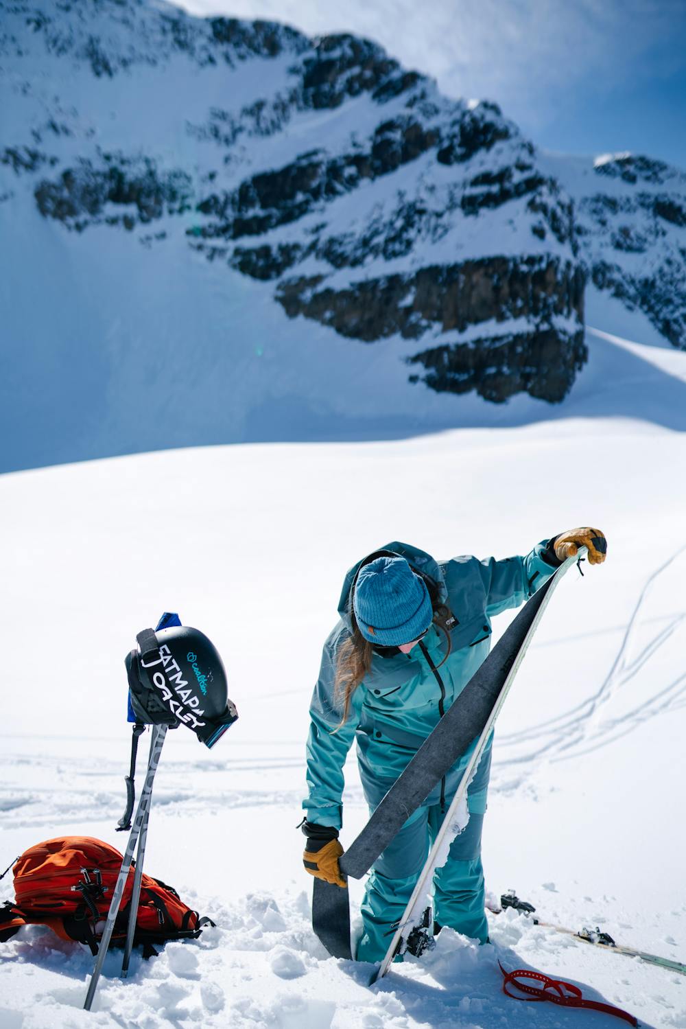
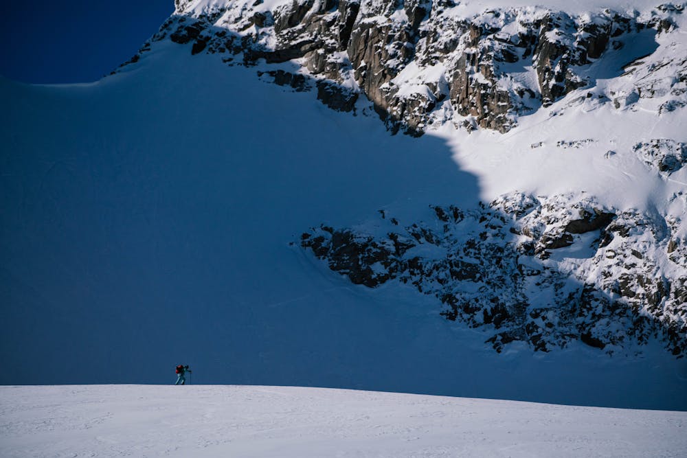
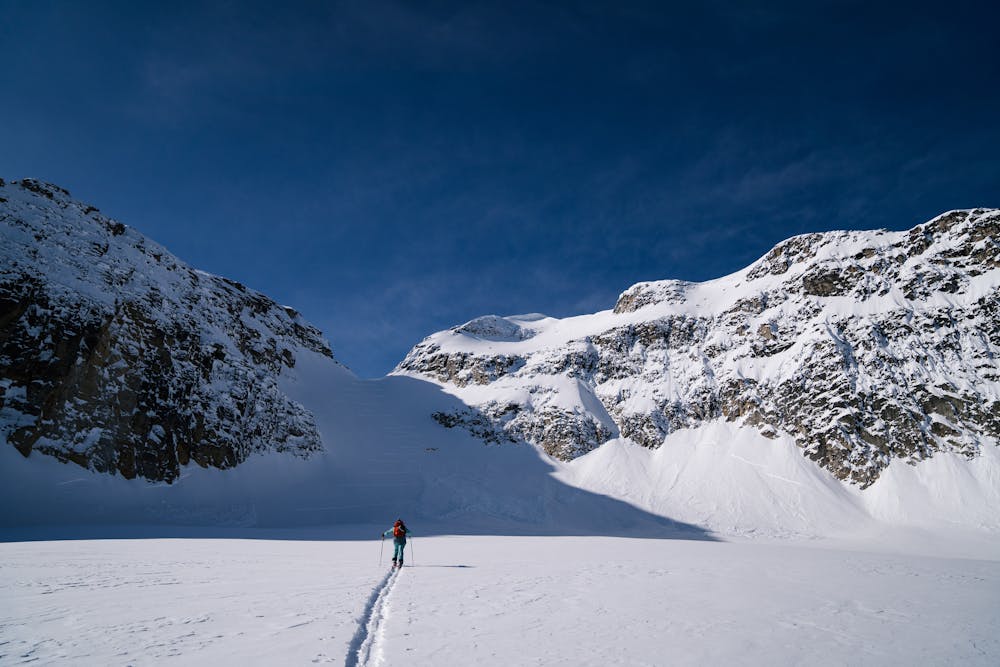
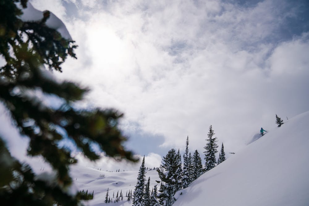
There are many decision-making points on this route, including a glacier crossing, which require backcountry experience.
Follow the cut block up and work your way up to the ridge. There are some tight sections higher on the ridge line that can be uncomfortable in the wrong snow conditions. As the grade flattens you will find yourself on the top of the exit gully, which is a great place to stop and head down if your legs have had enough for one day. There isn't great visibility beyond this point so if it is whiteout, come back another day.
Above tree line the route is yours for the taking. Trend to the climbers right to below the col and glacier. Take the direct route to the col and enjoy the view. There are some great side trips on the way back. Explore Elevator Chutes, play on the moraines but make sure you have enough gas left in your tank for the pow turns down and the sled ride home.
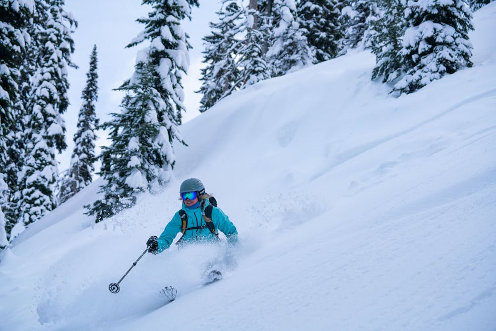
You can descend through the trees via the route you came up or down the gully. This gully is steep and chokes out in the trees at times. In the spring expect old slides and death cookies aplenty.
Difficult
Serious gradient of 30-38 degrees where a real risk of slipping exists.

As well as the slope itself, there are some obstacles (such as rock outcrops) which could aggravate injury.

Little chance of being seen or helped in case of an accident.
3 km away
A beautiful romp through some classic Monashee Mountains terrain, best sampled on pow days.
Difficult Ski Touring
3.1 km away
Classic stormy day ski tour close to town. Great up and back that passes through beautiful old growth cedar stands.
Moderate Ski Touring
5.2 km away
Summiting one of the local classics
Moderate Ski Touring
3 routes · Ski Touring