
4.1 km away
Journeyman Lodge & Callaghan Valley - T33 East Flank
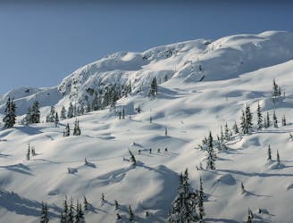
Variety of terrain with a good mix skiing for different types of weather. Keep it low on storm days, go higher when stability and weather allow.
Moderate Ski Touring
- Distance
- 4.5 km
- Ascent
- 557 m
- Descent
- 557 m