16 m away
Bostock-Revelstoke Traverse
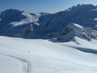
The ultimate Rogers-Revelstoke traverse
Extreme Ski Touring
- Distance
- 93 km
- Ascent
- 7.2 km
- Descent
- 7.6 km
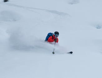
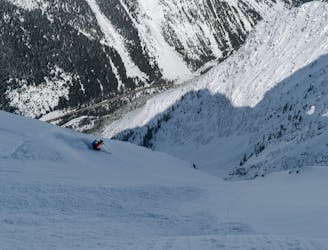
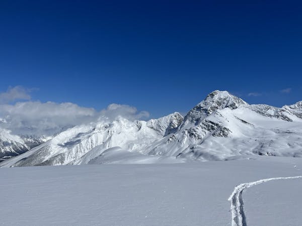
A Rogers Pass Classic! A 1250m descent down a big mountain slide path.
Ski Touring Difficult

A Selkirk classic big mountain slide path, this route is found at a lower elevation than most big slide paths in Rogers Pass. The chute begins at treeline & is a viable option if alpine avalanche conditions are a concern. But don't get cocky - this is a serious line that can rip really big in the wrong conditions!
After obtaining your Winter Restricted Access Permit from the Glacier Park Visitor Center, travel approx 17 km west on Hwy 1 where you will pull off into Bostock parking area at 995m.
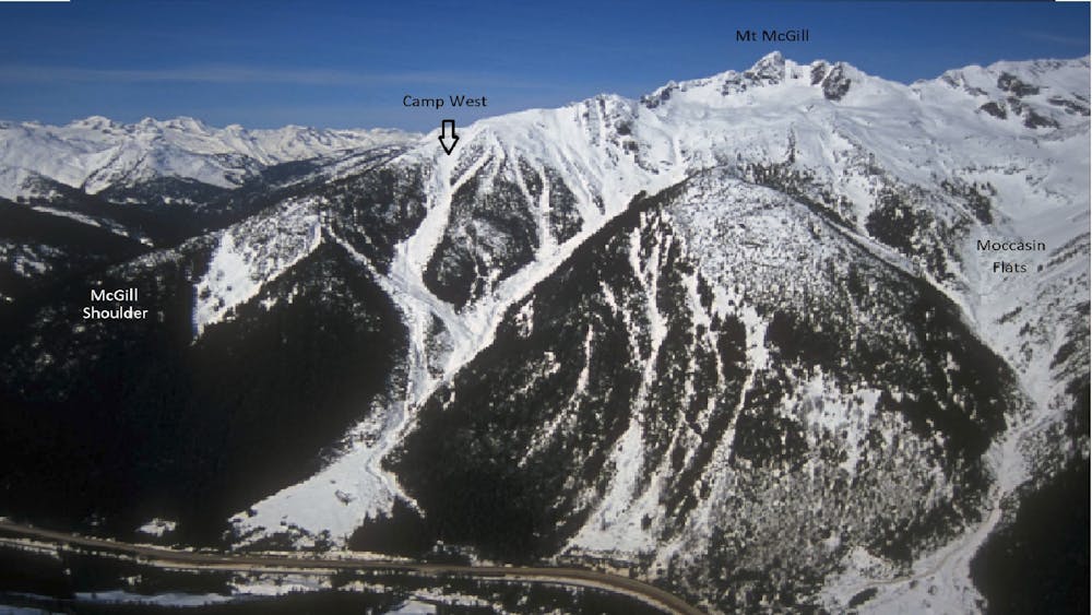
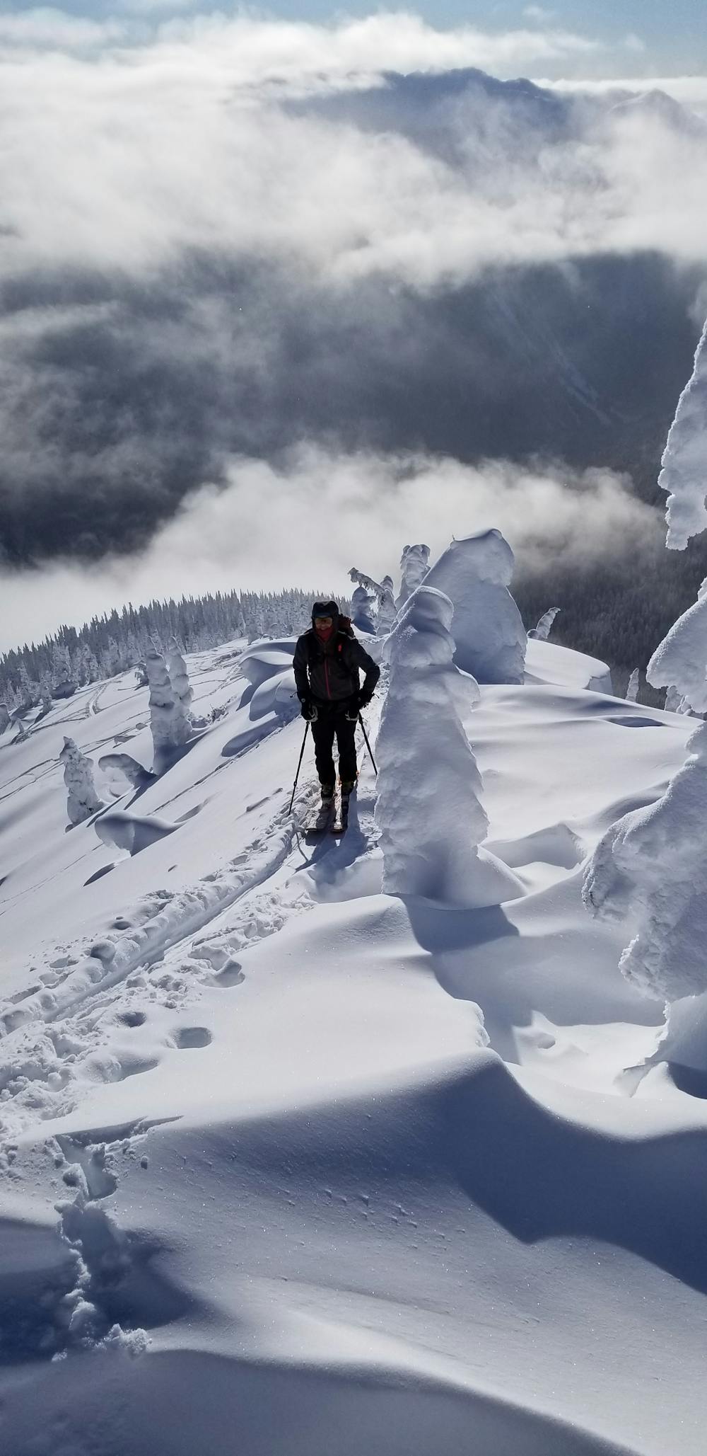
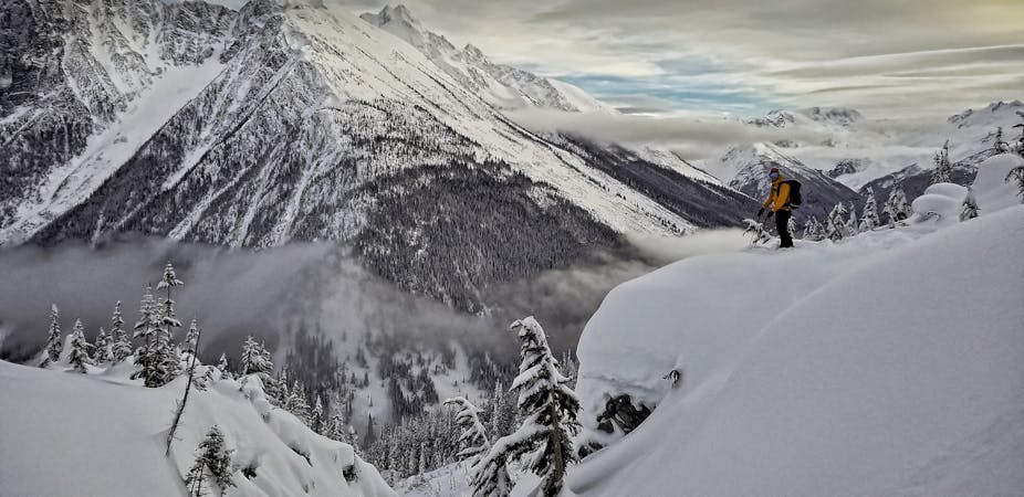
Take the summer trail up into Bostock Creek for approx 1 km, then hang a right & begin switchbacking steeply into the trees. Follow McGill shoulder for 1250m of elevation gain. The trees can seem to go on endlessly, but trust that the effort will be richly rewarded! You will eventually break out of the trees onto a ridgeline at mountain treeline. To the left you have the options of skiing the Gunbarrels & McGill Main Chutes. To the right side is Camp West, a 1250m chute that takes you all the way to the highway!
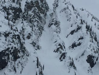
It is possible to enter the chute here (known as 'Camp West Lite') or climb higher on the ridge (very steep & difficult skinning) & enter the chute via the main entrance into the avalanche start zone - this is known as 'Camp West Proper'. Both entrances are steep & require very stable conditions! Even the 'Lite' version is 40 degrees right below the ridge.
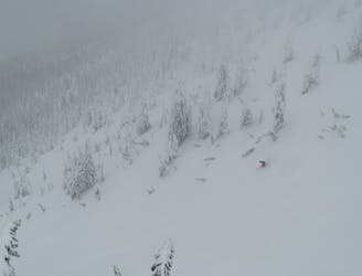
The descent is straightforward & doesn't require any route finding - just stay in the main chute. There is a choke point, with running water, at around 1300m that can be very difficult to negotiate in low snowfall years. It can be visualized from the highway so, scope the route before you commit.
The fun comes to an end when you hit the highway near the Hemlock Grove Boardwalk summer hike. Travel west along the highway for 2 kms to return to your car at the Bostock parking lot. Keep your skis on & travel in the snow of the snowbank as you travel back to your car. It is illegal to walk along the road in Roger's Pass. When you reach your car, share some high fives & David Lee Roth high kicks - crack a Corona with an umbrella in it and bask in the knowledge you just survived one of the best run's in Roger's Pass!
Difficult
Serious gradient of 30-38 degrees where a real risk of slipping exists.

As well as the slope itself, there are some obstacles (such as rock outcrops) which could aggravate injury.

Little chance of being seen or helped in case of an accident.
16 m away
The ultimate Rogers-Revelstoke traverse
Extreme Ski Touring
20 m away
900m of falline avalanche path skiing near the Bostock Trail
Moderate Ski Touring
8.7 km away
A mix of cutblocks and open glades that are accessed straight from the Trans-Canada highway corridor.
Moderate Ski Touring
9.5 km away
The plum steep ski line of Mount Cheops
Extreme Ski Touring
9.8 km away
1400m of exposed, convoluted couloir skiing
Severe Ski Touring
7 routes · Ski Touring
28 routes · Freeride Skiing · Ski Touring