2.3 km away
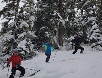
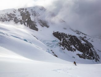
Spearhead and phalanx overview tour
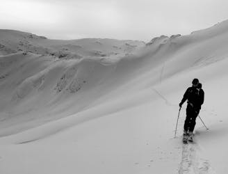
An high value introduction to the Spearhead and Phalanx Glaciers
Moderate Ski Touring
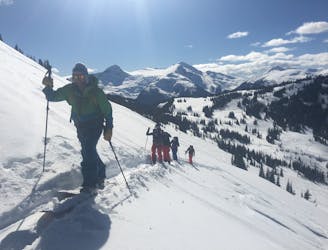
- Distance
- 11 km
- Ascent
- 1.2 km
- Descent
- 1.9 km
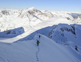
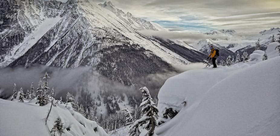
Climb to access Decker Glacier or beyond
Ski Touring Moderate

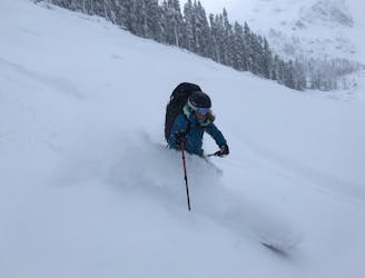
This is a popular ski touring route which is generally considered to be moderate. It's remote, it features medium exposure (e2) and is typically done between January and April. From a low point of 2 km to the maximum altitude of 2.2 km, the route covers 1.2 km, 243 vertical metres of ascent and 2 vertical metres of descent. It's graded 2.1 and Labande grade 3. You'll need rope, skins and glacier kit to complete it safely.
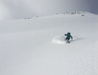
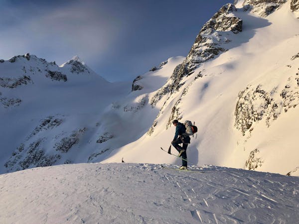
Rocky slope, not glaciated
Moderate
Slopes become slightly steeper at around 25-30 degrees.

As well as the slope itself, there are some obstacles (such as rock outcrops) which could aggravate injury.
Away from help but easily accessed.
2.3 km away
An high value introduction to the Spearhead and Phalanx Glaciers
Moderate Ski Touring
2.3 km away
An excellent first glacier travel experience in the Blackcomb backcountry
Moderate Ski Touring
2.4 km away
An excellent loop through the Blackcomb backcountry with no glacier travel required.
Moderate Ski Touring
2.8 km away
Entry Level Steep Skiing
Severe Ski Touring
3.8 km away
Blackcomb's Most Popular Yo-Yo Turns
Moderate Ski Touring
7.2 km away
A Whistler classic steep ski line not to be underestimated!
Difficult Ski Touring
7.4 km away

A European-style hut close to the resort
Easy Ski Touring
7.4 km away
Yo-Yo Turns in the Musical Bumps Area
Moderate Ski Touring
7.7 km away
A longer Whistler-accessed excursion with some excellent tree line skiing
Moderate Ski Touring
8.6 km away
Whistler’s backcountry ski tour rite of passage, taking you through some of the most impressive ski terrain on the continent.
Difficult Ski Touring
7 routes · Ski Touring
6 routes · Ski Touring
4 routes · Ski Touring