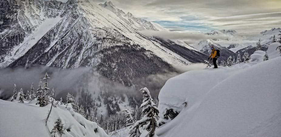
The far side of Sproat sees significant snowmobile traffic, but the route outlined here is in a designated non-motorized zone. The starting elevation is fairly low (670m) so be aware that there is a few hours of mundane forested skinning required to get to the good stuff, and for the best value you’ll want to do this trip when there is good snow all the way to the valley.
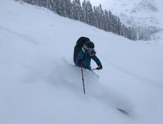
It’s also worth noting that Sproat receives significantly more snow than its ski resort neighbour, so if the snow report for WB is reading anything more than 15cm of fresh snow you can expect deep and arduous trail breaking. But deep skiing of course too!
To begin, park at the ‘Rainbow Lake Trail’ parking lot on Alta Lake road. (Aka The Westside Road), and set off up the hiking trail towards Rainbow Lake. The first few hundred meters may be a bit boney. After about 10 minutes you will pop back out onto a service road and the travel is much easier.
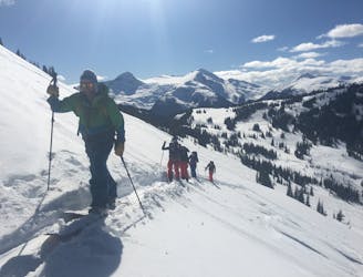
Follow this road all the way to its end (about an hour) and then continue on the summer hiking trail through the woods. This section can also be a bit pokey early in the season.
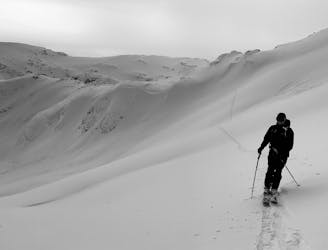
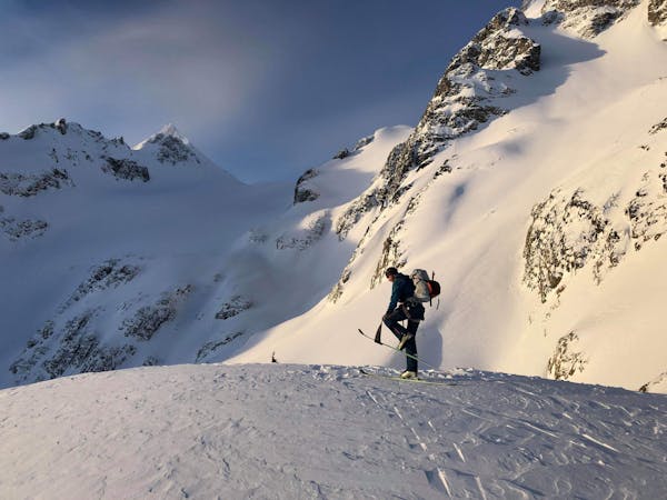
Eventually the trail becomes a little more mellow, and at 1150m take a hard left (due south-west) and ascend towards the hanging valley that separates Sproat and Tonic Peak. The first section after leaving the summer trail is a little steep, but any difficulties are short lived.
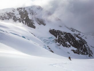
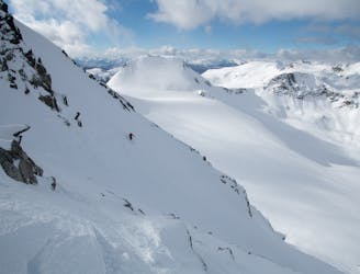
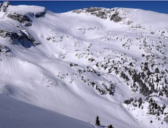
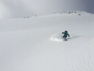
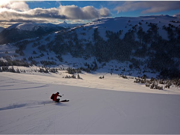
Once you have reached the open meadows at around 1380m the world is your oyster. You could set an easy skin track and do some quick yo-yo laps in the northwest facing glades back to your current location, or you could push on a little higher to the true summit. It’s worth noting that although the views improve considerably above treeline, the ski quality does not, so it’s not worth going to the summit if the visibility is poor. After a few laps you can either ski back down the way you came, or cut over the shoulder and ski the more north east facing forest back towards the summer trail. This section of forest is less open (but still open enough) and by doing this you will cut off some of the summer trail for the exit.
Or alternatively you could do the entire route in reverse!
So there you have it.... the ins and outs of a great day on Sproat. Consider the freezing level carefully, as this is a low elevation trip, but if you time it right you’re guaranteed a good time!