3.2 km away
Lost Lake Blue Loop
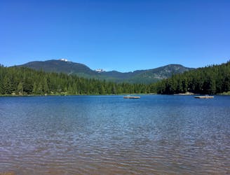
The easiest singletrack trails in Whistler.
Moderate Trail Running
- Distance
- 7.9 km
- Ascent
- 181 m
- Descent
- 181 m
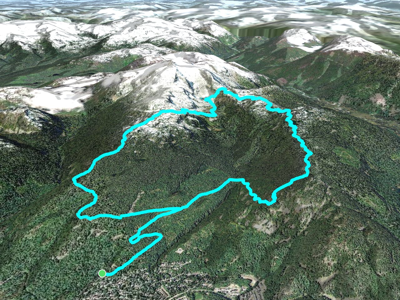
A big loop on the Skywalk Trail network on Rainbow Mountain.
Trail Running Easy
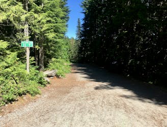
Park at the top of Alpine Way - but be sure to watch out for the no parking signs!
The route starts on the gated logging road (Rick's Roost) switchbacking up a few kilometres to meet the Sproatt-Flank Trail.
Take a right and head up towards 19-mile creek, crossing on the bridge. A left turn just past the bridge is the 19-mile creek trail which is a shorter option to Iceberg Lake and also serves as an escape if you get to the lake and don't want to do Skywalk South.
Continue along the North Flank Trail as it follows up the ridge and turns into Skywalk North. This section of trail is in nice second growth trees. Several dirt bike trails spur off to the left but follow sing for Skywalk and Screaming Cat lake. This is a good one to jump in if you've got the time!
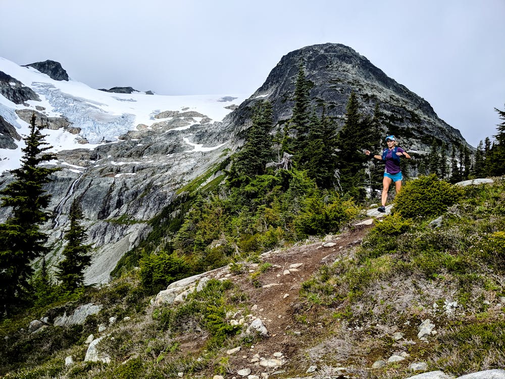
Past the lake you enter open meadows and continue up the ridge towards Rainbow. The trail crosses some open slabs but is generally easy to follow. There is usually some flowing water here if you need to refill your bottles.
The trail tops out with a short scrambly section with a chain to pull on. Take a few pictures before starting the steep descent to Iceberg Lake!
Iceberg Lake is a bit colder than Screaming Cat (unsurprisingly). The outflow is also a good place to fill up a water bottle. From the lake, the trail continues down valley to an outhouse and a junction. This is 19-mile creek and your quick escape if you want to cut the day shorter.
If you're doing good, turn right onto Skywalk South. The trail works its way back up through treeline and becomes a bit more vague entering scree and boulders. Watch for markers and small cairns. It's never difficult so if you find yourself needing to use your hands more then for balance, make sure you're still on the marked route!
Eventually you'll pop onto the top of the ridge and have a few rolls before getting into a nice meadow. A trail sign notes a left turn that sends you down the ridge. It's mostly downhill from here so enjoy the descent!
This is a mountain bike trail so do keep your ears open for people coming behind you! It gets steep and muddy in places but is generally very runnable. After a bunch of descending, you'll intersect the Flank Trail. Take a left and follow signs for the hiking variation (there's also a bike option). You'll come back to the same road you started on and retrace your steps back to the start!
I prefer to do this route counter-clockwise (as described) because the ascent trail is more runnable, however it's totally possible to do it in the reverse. Do be sure to carry bear spray and talk loudly throughout the day as the Skywalk system is a well known Grizzly habitat!
Water can be scarce by mid-summer. Expect to be able to refill at Iceberg Lake but that may be your only chance so start with enough to get you halfway. The alpine portions are very sun exposed so it can get hot! It can also be very cold if a storm rolls in. Be prepared for all weather! If bad visibility the upper trail, especially Skywalk South, can be difficult to follow. Use the 19-Mile Creek Trail as an escape if the weather turns.
Easy

The trail contains some obstacles such as outcroppings and rock which could cause injury.
Away from help but easily accessed.
3.2 km away
The easiest singletrack trails in Whistler.
Moderate Trail Running
3.2 km away
Run along a flat gravel path to a beautiful swimming lake.
Easy Trail Running
8.1 km away
One of Whistler's most iconic trails.
Moderate Trail Running