6.2 km away
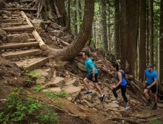
Baden Powell Trail
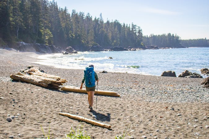
The complete Baden Powell Trail from Horseshoe Bay to Deep Cove
Difficult Trail Running
- Distance
- 45 km
- Ascent
- 2.5 km
- Descent
- 2.6 km
Traverse of the coast ridgeline along the Howe Sound.
Trail Running Difficult

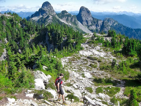
The Howe Sound Crest Trail (HSCT) is an excellent point-to-point trail running adventure that follows the Sea-to-Sky Highway heading north of Vancouver. The route extends between Cypress Mountain in the south and Porteau Cove in the north. The route stays high, along the crest of the mountains, and on clear days offers astounding and expansive views of Howe Sound to the west. It travels over numerous mountains as runners climb over 1,800m and descend 2,600m in the 29km.
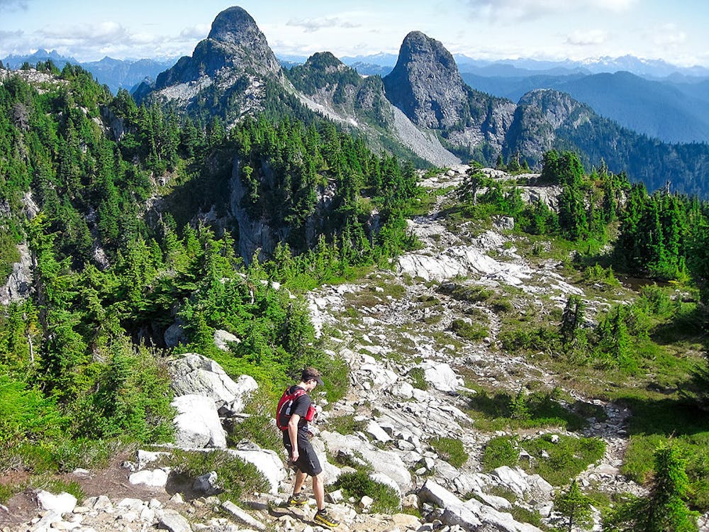
Although the HSCT is shorter than the Baden Powell Trail, it makes up for it in difficulty and technicality. It is more remote and includes steep climbs and a few sections of exciting and relatively exposed scrambling along the ridgetop. It is one of the most adventurous long trail runs that you can access easily from Vancouver.
The trail is quite rocky and technical for long stretches in the alpine, with increasingly lush singletrack in the subalpine kilometres. The trail traverses around the beautiful turquoise Deeks Lakes and passes the Lions – two of Vancouver area’s most prominent, proud, and distinct peaks. Runners also have the option to tag the summit of Brunswick Mountain and Mount Harvey while traveling along the HSCT. That said, tagging these summits adds a small amount of mileage over steep, rocky, and exposed terrain.
The trail can be accessed from the public parking lot at Cypress Mountain, in the south, while the northern terminus intersects the Sea-to-Sky Highway at Porteau Cove. It is best to access the trail in spring through fall as much of the trail is in avalanche terrain. Therefore, runners should avoid the HSCT in winter months. Unfortunately, there are few places to refill water in later summer, so plan to bring sufficient water for the day.
Estimated time to complete the entire HSCT is 8-10 hours.
Difficult

Some trail sections have exposed ledges or steep ascents/descents where falling could cause serious injury.
Little chance of being seen or helped in case of an accident.
6.2 km away
The complete Baden Powell Trail from Horseshoe Bay to Deep Cove
Difficult Trail Running
8 km away
THE classic Vancouver hike!
Difficult Trail Running
3 routes · Trail Running

4 routes · Trail Running
5 routes · Hiking · Trail Running

7 routes · Hiking · Trail Running