Headwall Chutes
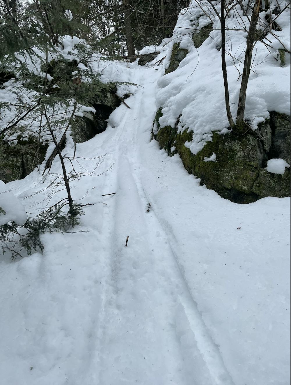
Run begins with thick glades then you arrive to a 20 foot cliff band in which there are 2-3 chutes down of varying difficulty. The exit is crowded with rocks and trees so control is needed. The run requires a short hike to get back to the chairlift.
Freeride Skiing Moderate
- Distance
- 251 m
- Ascent
- 4 m
- Descent
- 51 m
- Low Point
- 367 m
- High Point
- 419 m
- Gradient
- 23˚

This is a popular freeride skiing route which is generally considered to be moderate. It's not remote, it features low exposure (e1) and is typically done between January and March. From a low point of 367 m to the maximum altitude of 419 m, the route covers 251 m, 4 vertical metres of ascent and 51 vertical metres of descent.
Description
Pretty much always un touched lines. Pretty much the only proper chutes and skiable cliff bands in the area.
Difficulty
Moderate
Slopes become slightly steeper at around 25-30 degrees.
Low Exposure (E1)

Exposure is limited to that of the slope itself. Getting hurt is still likely if the slope is steep and/or the snow is hard.
Remoteness
Close to help in case of emergency.
Best time to visit
Features
- Trees
- Cliffs
- Couloir
- Walk Required