Superior Hiking Trail
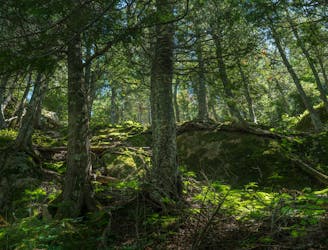
Long-distance footpath through hilly boreal forest and the expansive backcountry of Lake Superior's Minnesota shore.
Difficult Hiking
- Distance
- 478 km
- Ascent
- 6.1 km
- Descent
- 5.8 km
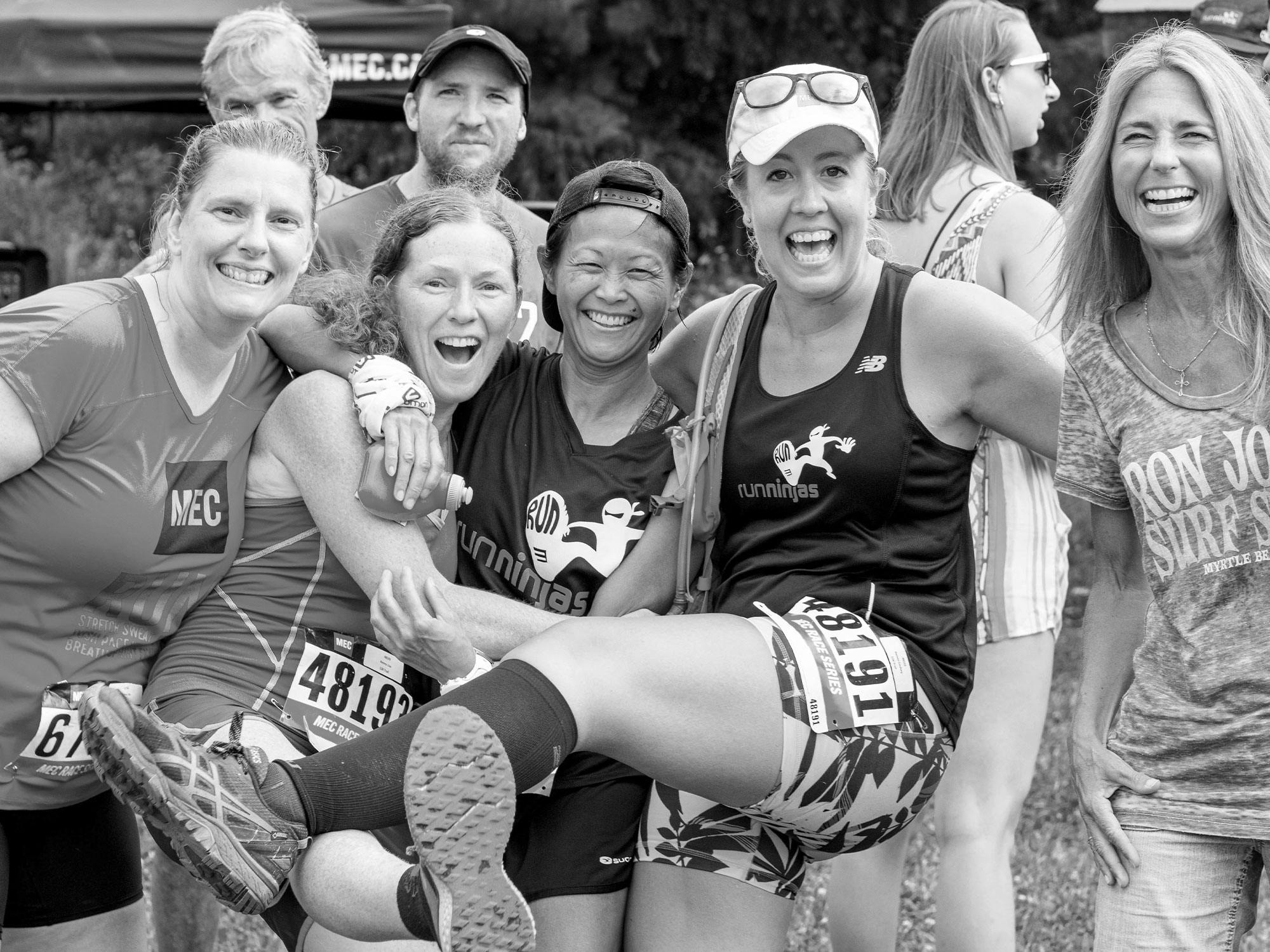
Explore Ontario with curated guides of the best routes. With over 11 3D trail maps in FATMAP, you can easily discover and navigate the best trails in Ontario.
No matter what your next adventure has in store, you can find a guide on FATMAP to help you plan your next epic trip.
Get a top trail recommendation in Ontario, or get inspired by the 11 local adventures uploaded by the FATMAP community. Start exploring now!
Long-distance footpath through hilly boreal forest and the expansive backcountry of Lake Superior's Minnesota shore.
Difficult Hiking

Mild Tree skiing with almost always fresh powder and no tracks: allowing you to pave the way!
Moderate Freeride Skiing

A fun glade run. Can get very skied out if no snowfall. Is prone to exposed rocks, dirt and ice if there has been little snowfall.
Easy Freeride Skiing
Run begins with thick glades then you arrive to a 20 foot cliff band in which there are 2-3 chutes down of varying difficulty. The exit is crowded with rocks and trees so control is needed. The run requires a short hike to get back to the chairlift.
Moderate Freeride Skiing

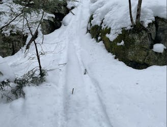
Remote, techy single track trail along the north shore.
Difficult Trail Running

Loop starting/finishing from Guelph Line access.
Moderate Trail Running

This is the first of the slides west of Georgian Peaks. These are clearly visible from the highway. None of the georgian slides are skied frequently.
Difficult Ski Touring

Steep line. No resort here because it's too steep for lifts. Short but sweet.
Difficult Ski Touring