1 m away
Grizzly Lake Out-and-Back
An epic backpacking excursion to Grizzly Lake.
Severe Hiking
- Distance
- 22 km
- Ascent
- 1.4 km
- Descent
- 1.4 km
One of the best and most rewarding day hikes in Tombstone Provincial Park.
Hiking Difficult
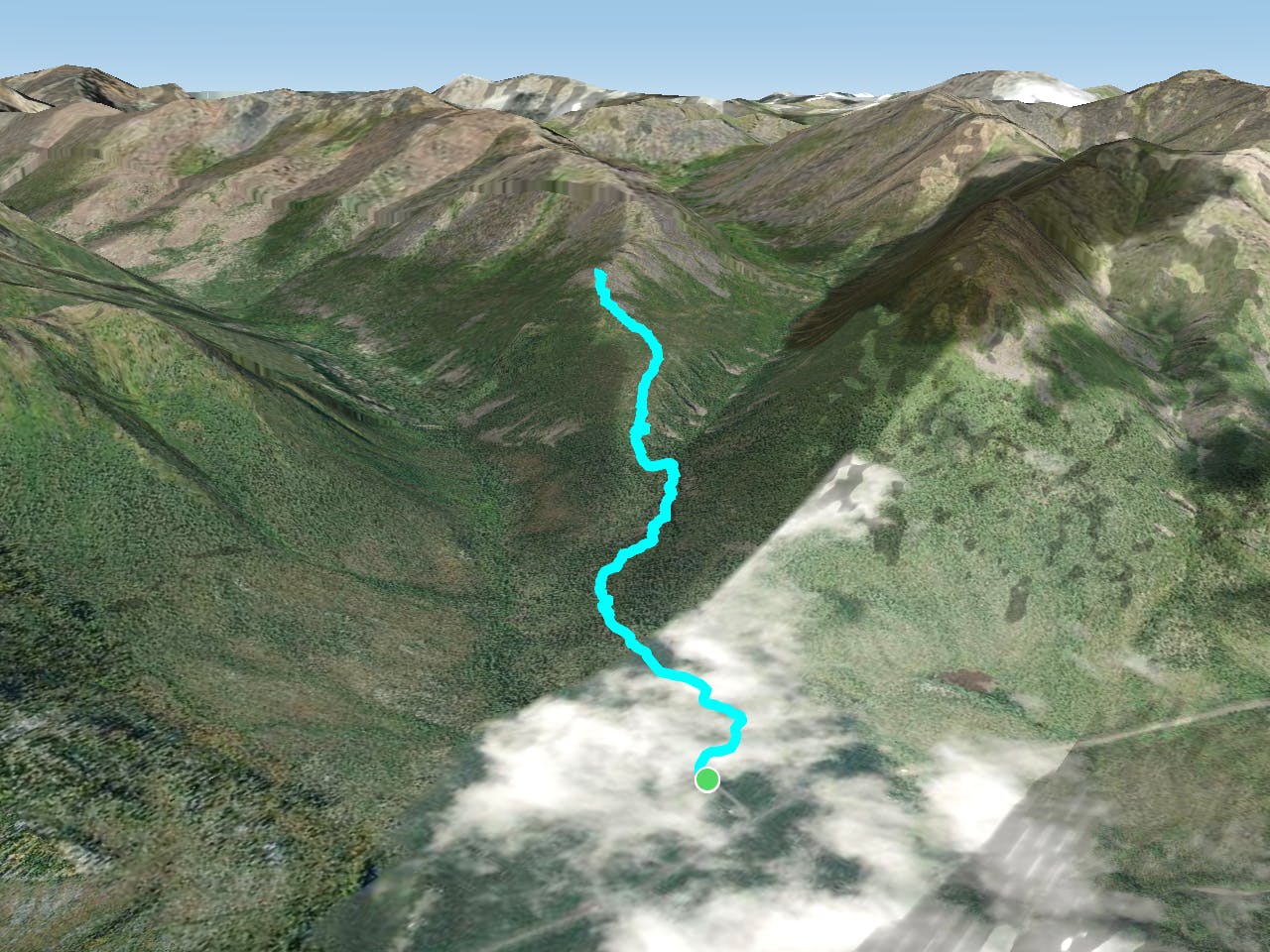
The entire trail to Grizzly Lake is an epic backcountry adventure! Covering 13.6 miles round trip and climbing over 4,700 vertical feet, the entire hike is best done as a backpacking excursion or an epic trail run. But if you want to sample the views from Grizzly Ridge on an attainable day hike, you can choose to follow this shorter out-and-back route to an elevated viewpoint. This short option only covers 3.7 miles and 1,400 vertical feet round-trip.
The hike begins just off the Dempster Highway, providing easy access to the trailhead... depending on how you look at it. Tombstone Territorial Park is one of the most remote parks in North America that's still served by a road and not just bush planes. However, the "highway" to reach it is gravel (not pavement), and the trailhead is located about a 6-hour drive from the city of Whitehorse (population: 25,000). Dawson City is about 1 hour and 15 minutes from the trailhead, but this small tourist town is itself an isolated outpost.
Suffice it to say, this hike—although one of the most popular in the Territorial Park—is pretty damn remote. Be prepared to be entirely self-sufficient as you hike.
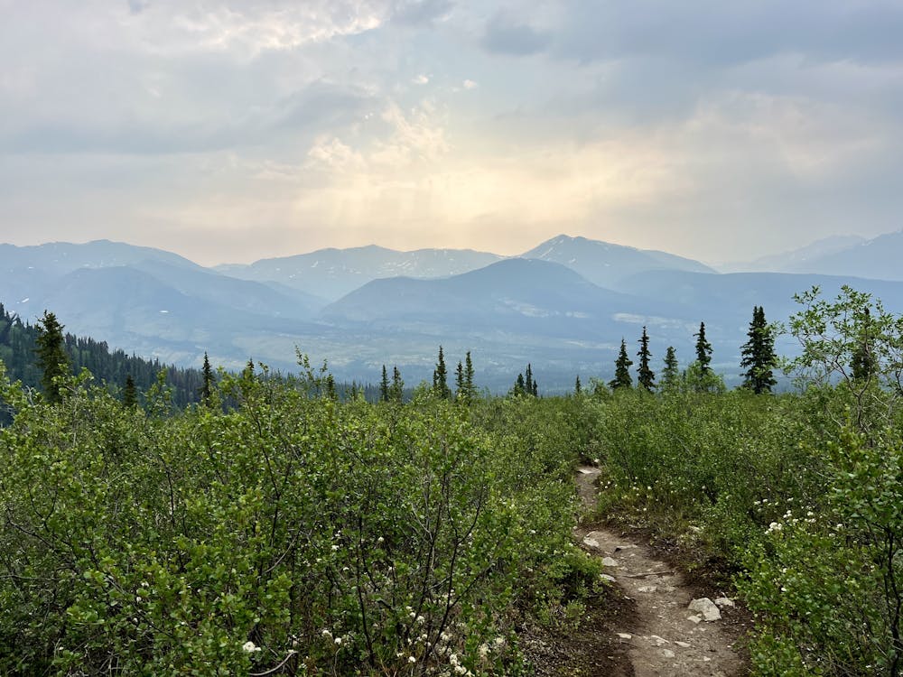
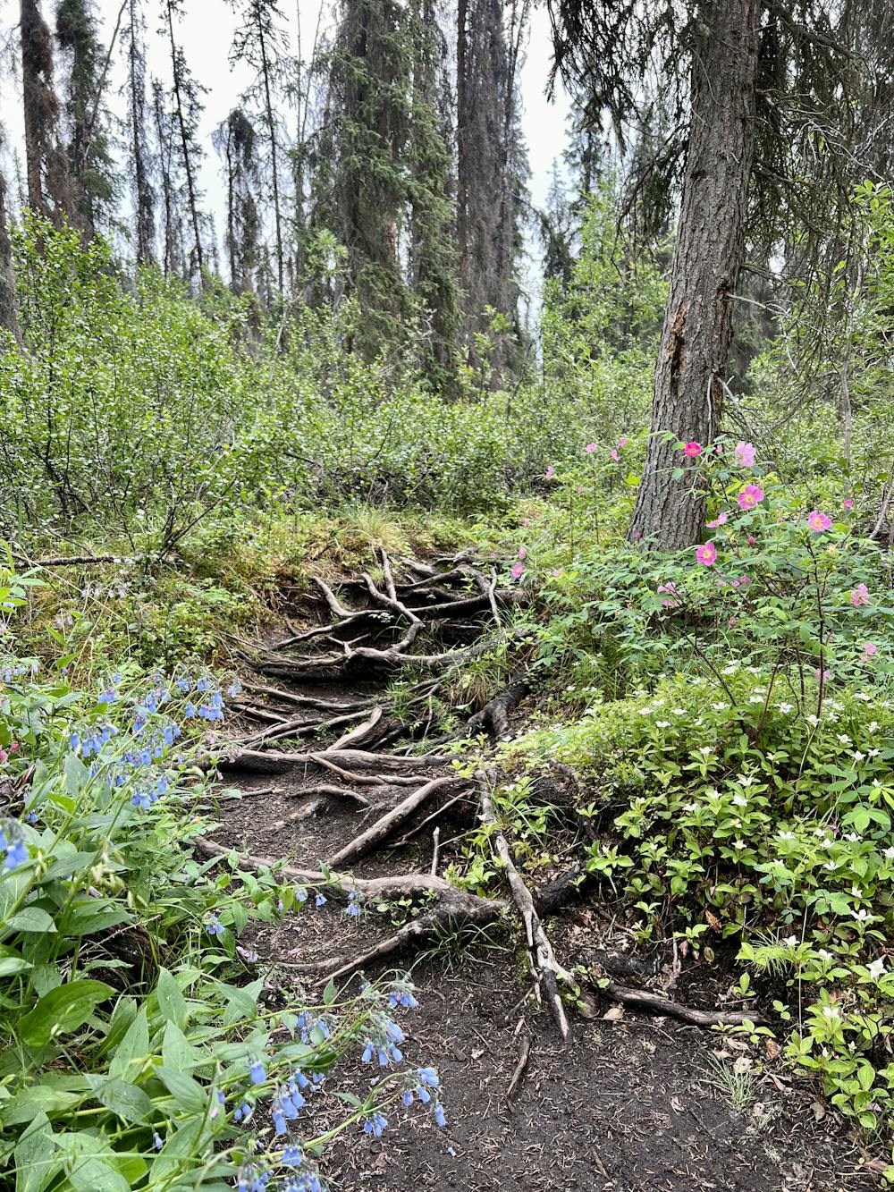
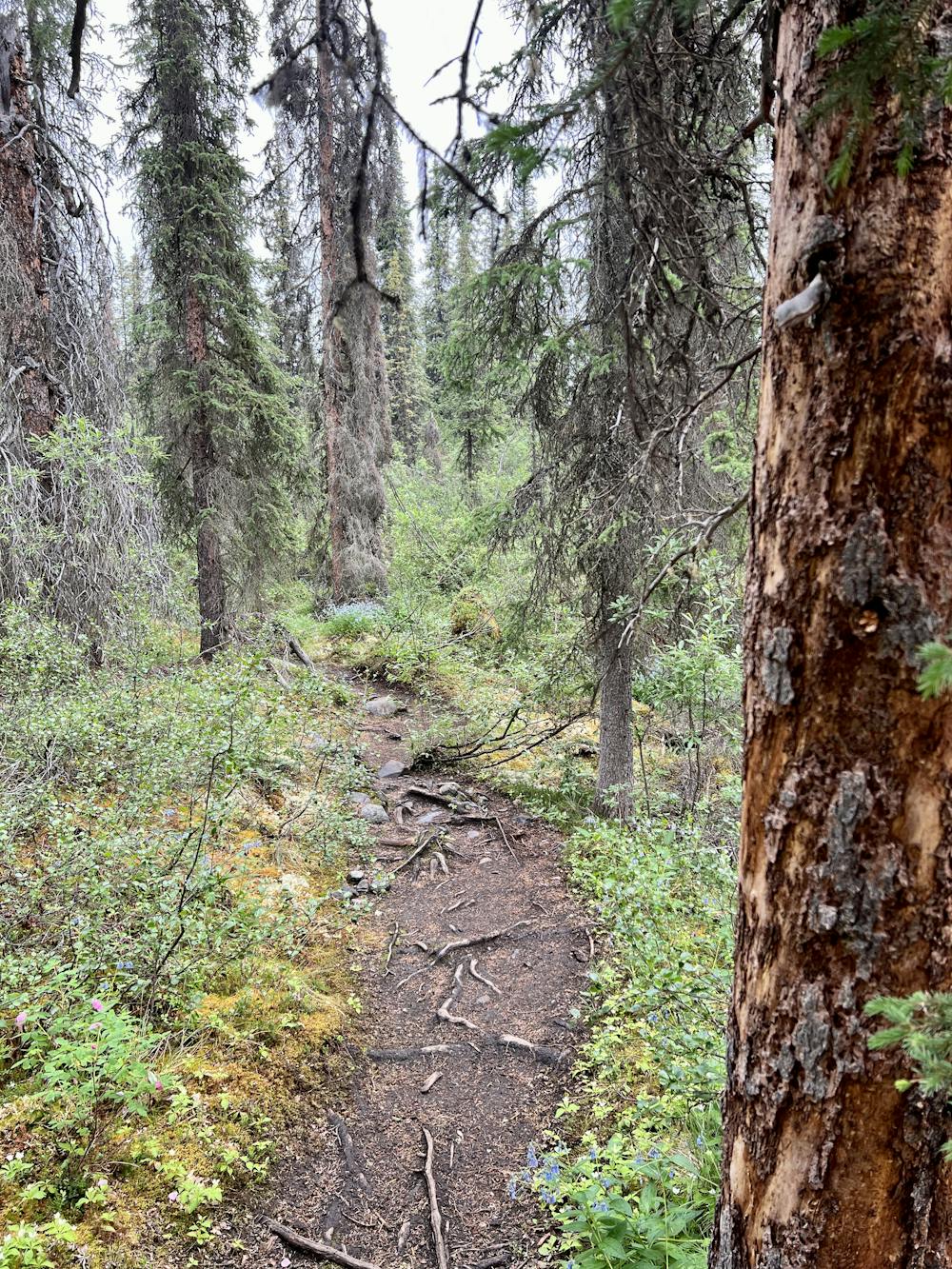
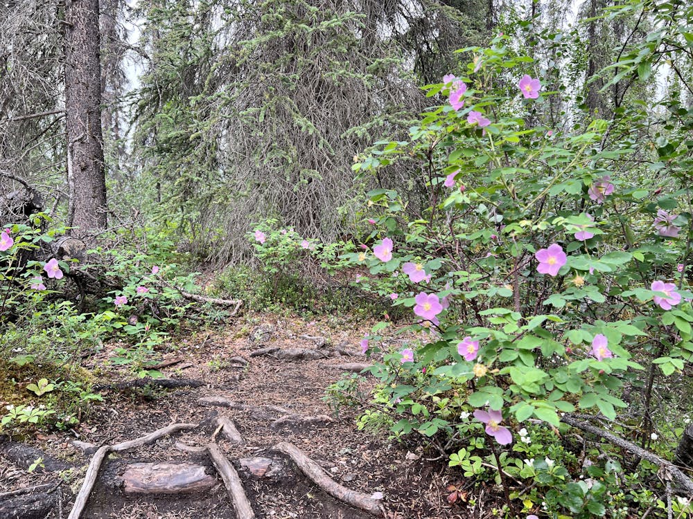
The route as it departs the trailhead rolls through a forest on wet, root-filled singletrack. The footing is rippled and slippery when wet, but the trail rolls along pretty quickly past wildflowers and over rushing mountain streams.
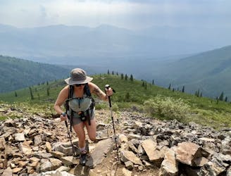
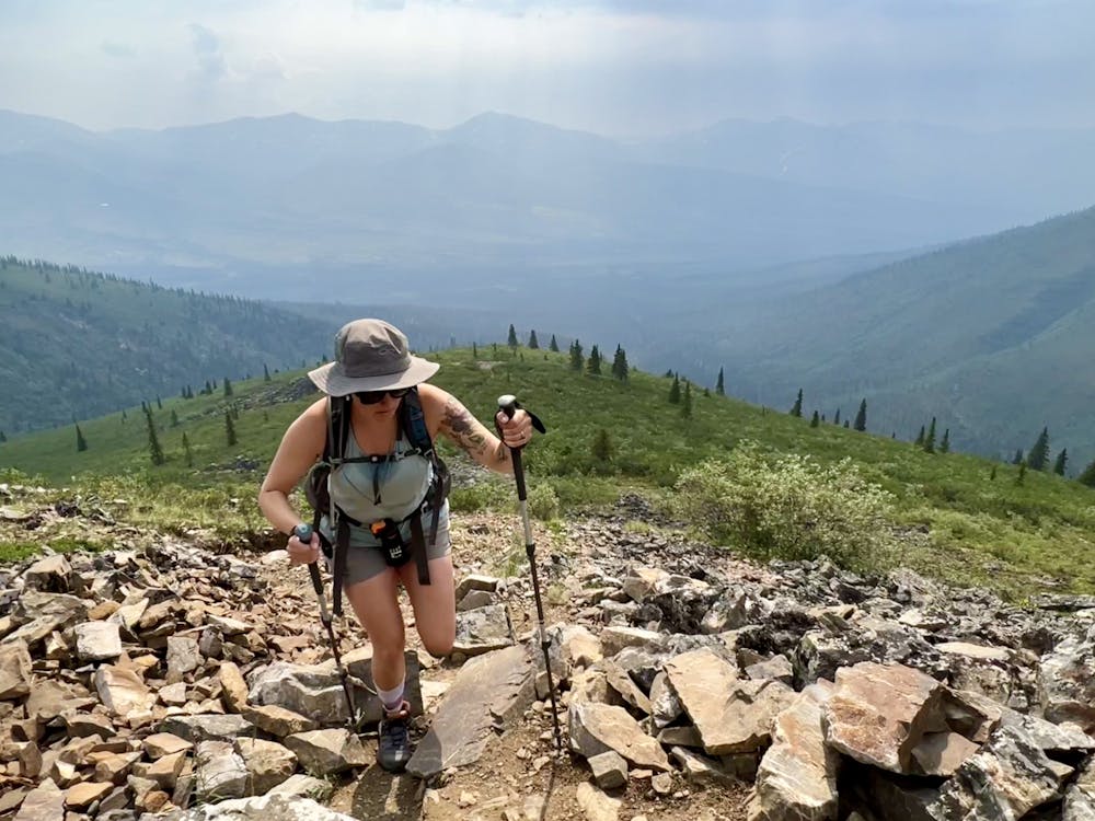
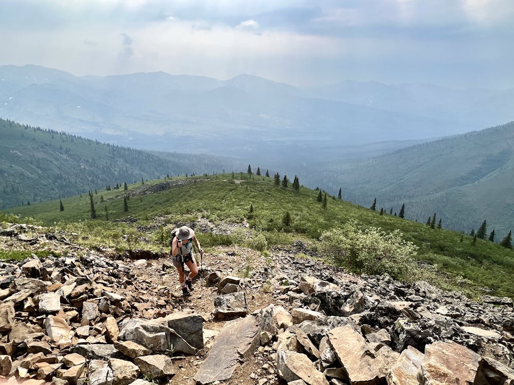
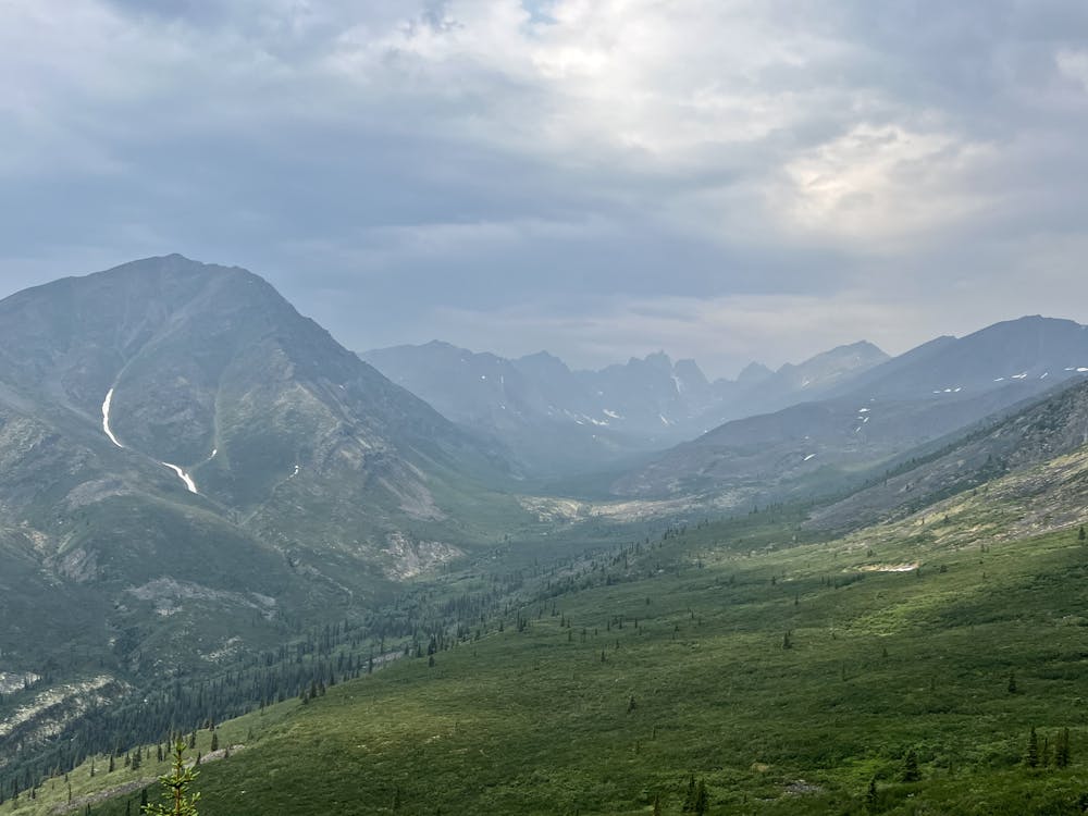
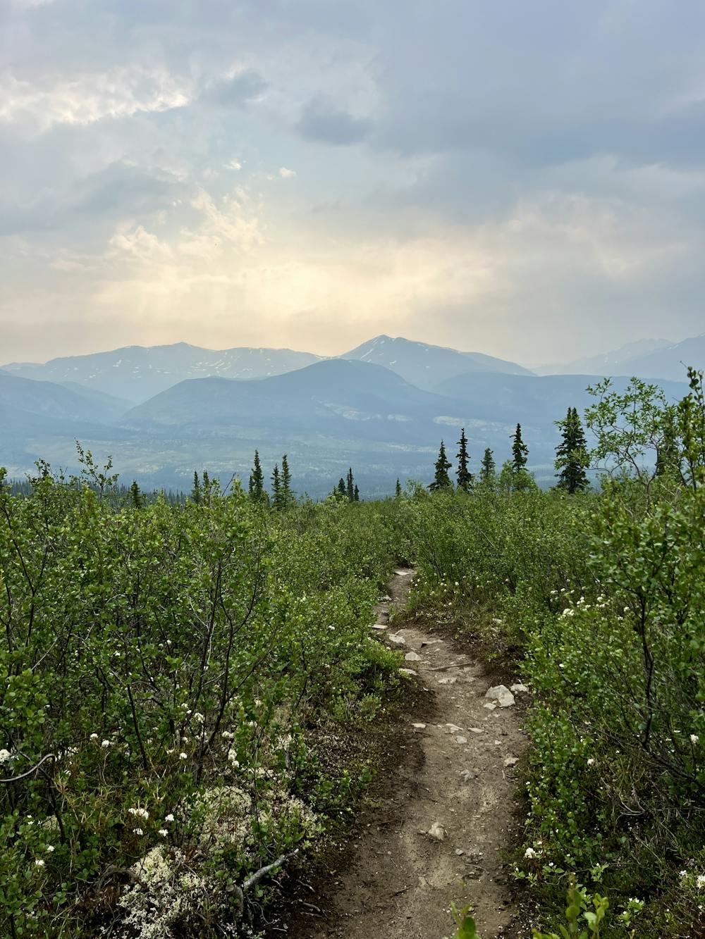
Soon, you'll reach a small series of wooden steps as the grade kicks up, which marks the beginning of the climb. From here, the grade gets continually steeper, and you'll soon break out of the forest and enjoy breathtaking views of the surrounding Tombstone mountains.
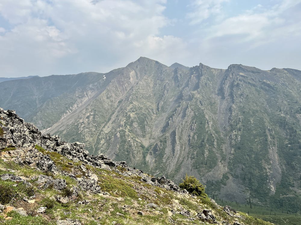
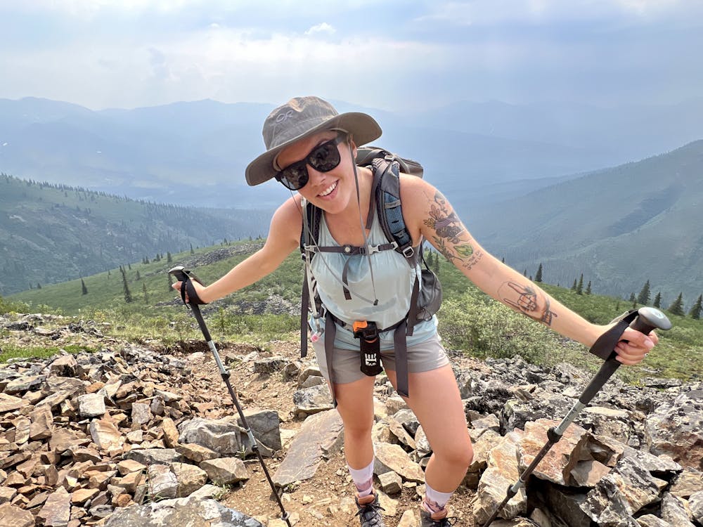
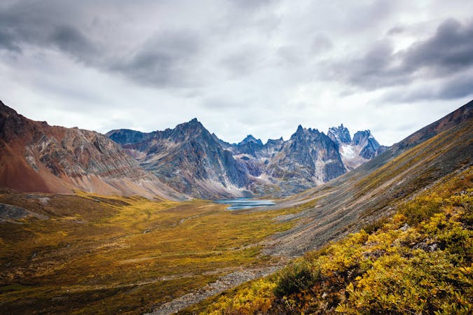
As you climb into the alpine tundra, you'll soon find yourself scaling steep rock steps, sliding scree, and all manner of mountain rockiness. In a few places, you may need to use a hand to scramble up, but overall the trail is well-established (by Yukon standards). Trekking poles can be useful for stability in the sliding dirt and scree.
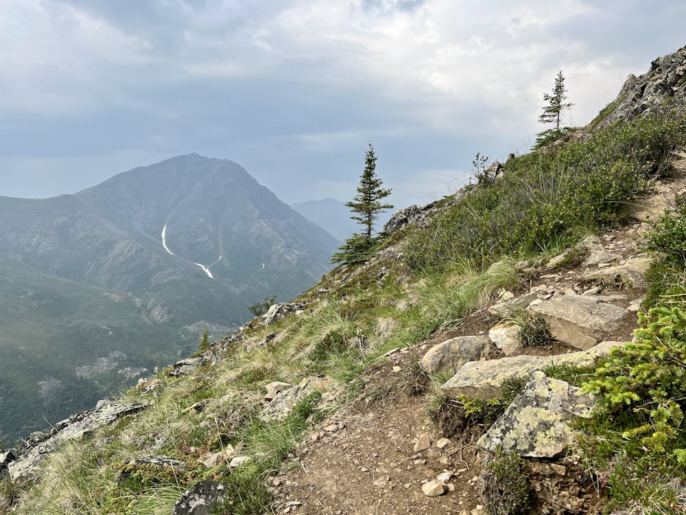
The first obvious lookout point offers great views to the east, but scaling one steep final pitch to a viewpoint higher up on the ridge will give you views into the valley to the west, where the most rugged mountains rise. It's well worth the effort to get to this second view.
Once you've soaked in the incredible beauty of Tombstone Territorial Park to your heart's content, turn around and retrace your steps back to your car.
Difficult
Hiking trails where obstacles such as rocks or roots are prevalent. Some obstacles can require care to step over or around. At times, the trail can be worn and eroded. The grade of the trail is generally quite steep, and can often lead to strenuous hiking.

The trail contains some obstacles such as outcroppings and rock which could cause injury.

In the high mountains or remote conditions, all individuals must be completely autonomous in every situation.
1 m away
An epic backpacking excursion to Grizzly Lake.
Severe Hiking

10 routes · Alpine Climbing · Canyoning · Hiking