Sierra del Coloradito to Piedra Santa Traverse
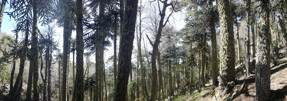
Extraordinay remote and scenic hike across classic high volcanic landscapes and araucarias forests
Hiking Difficult
- Distance
- 15 km
- Ascent
- 625 m
- Descent
- 1 km
- Duration
- 4-5 hrs
- Low Point
- 955 m
- High Point
- 1.8 km
- Gradient
- 11˚

This is a popular hiking route which is generally considered to be difficult. It's remote, it features medium exposure and is typically done between November and June. From a low point of 955 m to the maximum altitude of 1.8 km, the route covers 15 km, 625 vertical metres of ascent and 1037 vertical metres of descent.


- •
- •
- •
- •
- •
- •
- •
- •
- •
- •
- •
- •
- •
- •
- •
- •
- •
- •
- •
Description
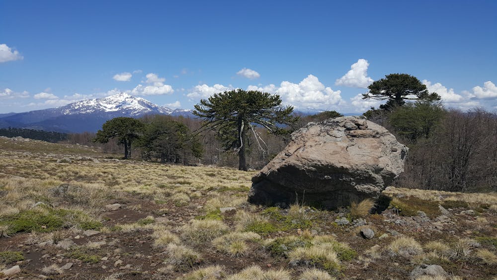
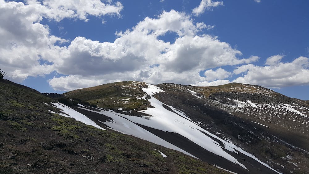
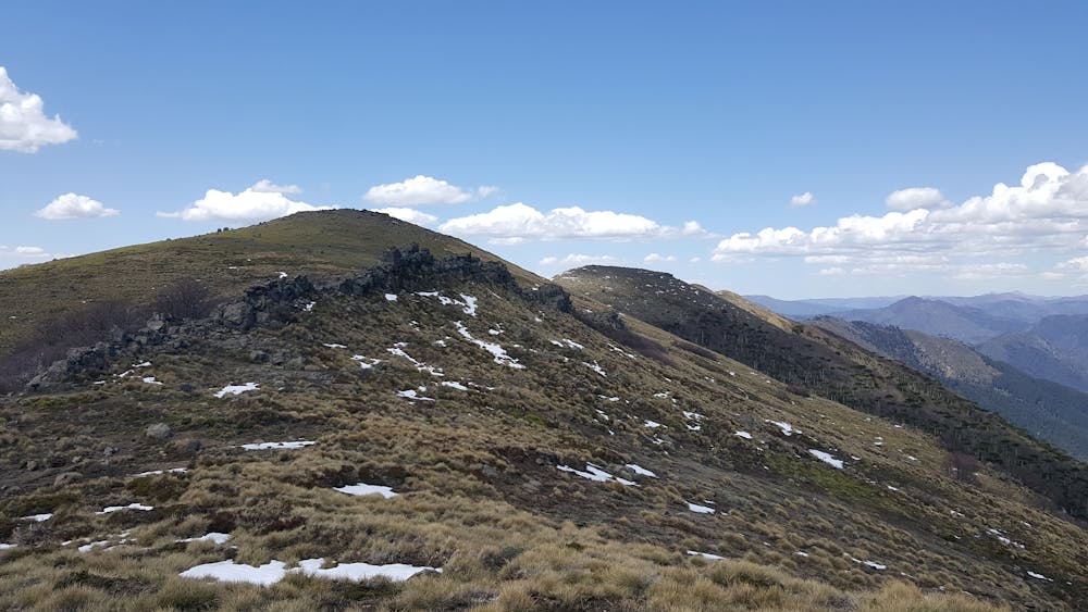
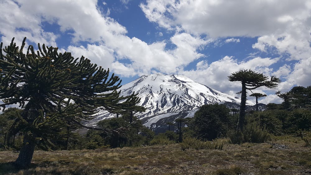
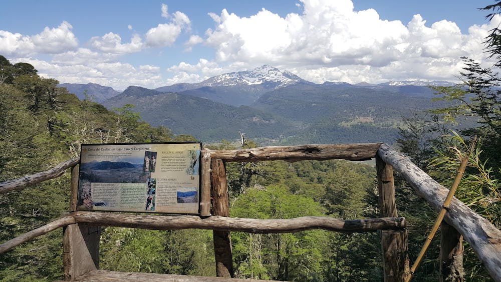
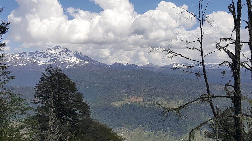
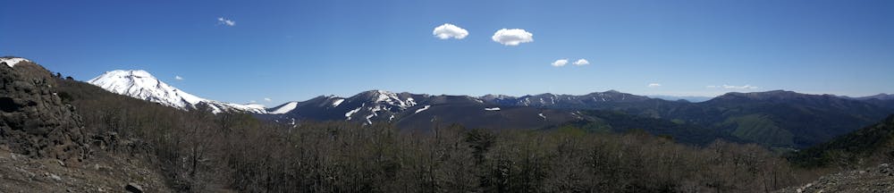
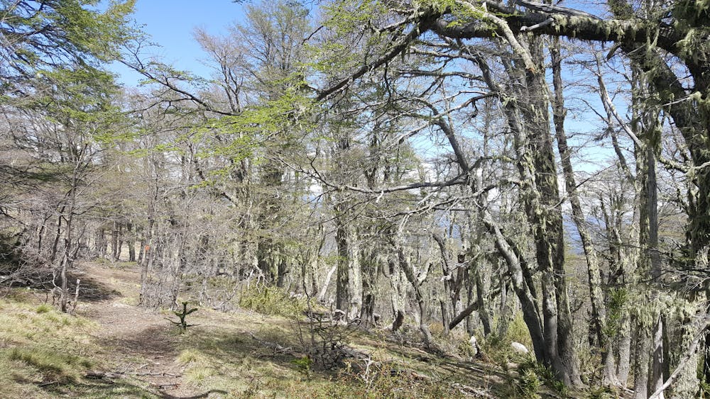
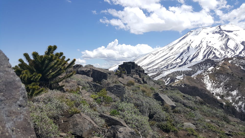
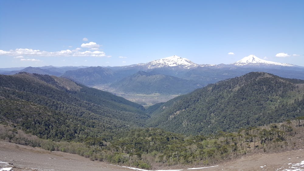
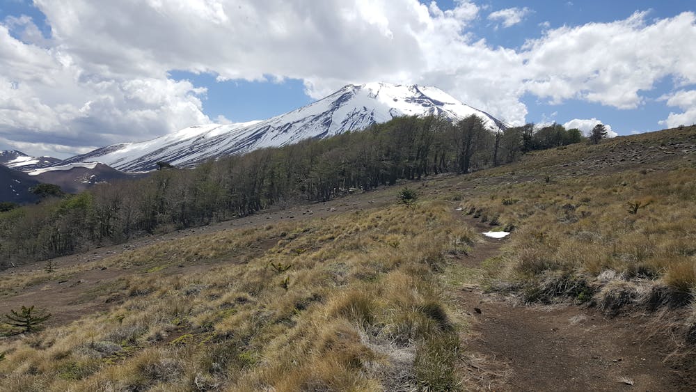
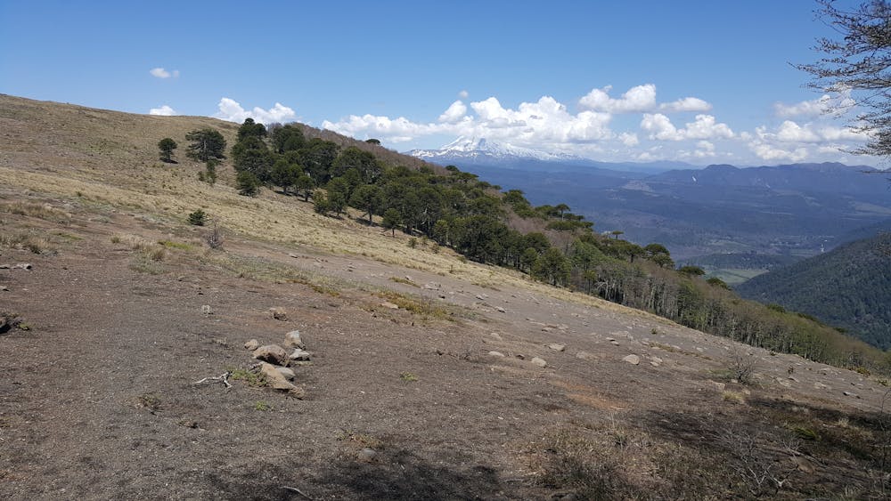
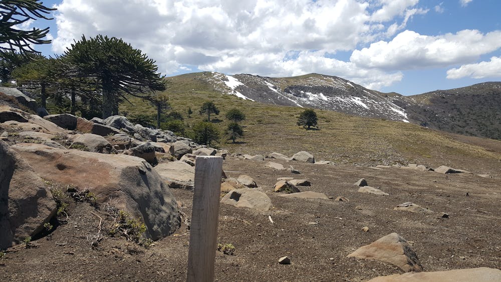
This amazing hike will take you through the most iconic landscapes of Araucanía. You will witness dramatic geological features, stunning views to the sorrounding volcanoes and inmerse yourself on breathtaking native coigue and araucarias forests.
Difficulty
Difficult
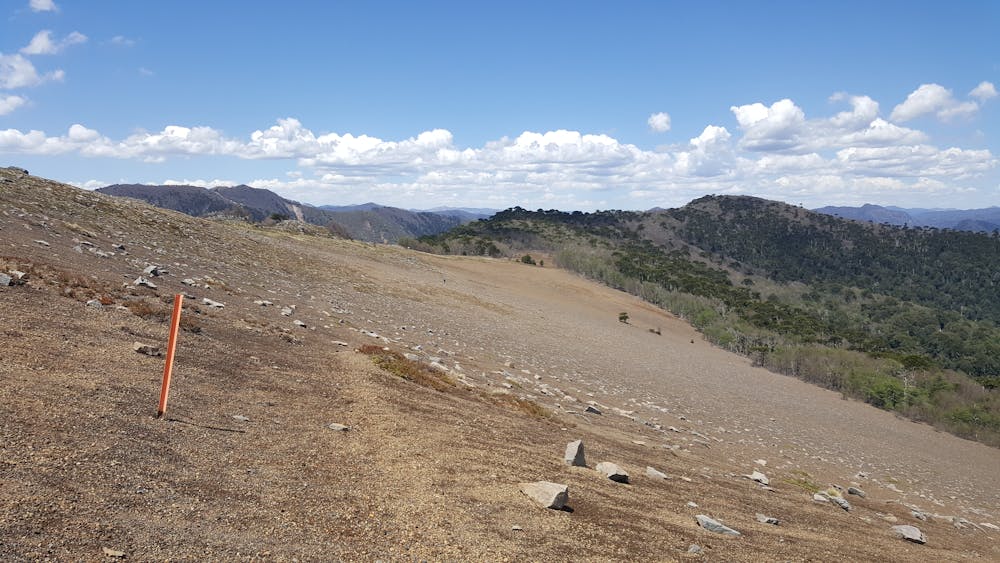
Hiking trails where obstacles such as rocks or roots are prevalent. Some obstacles can require care to step over or around. At times, the trail can be worn and eroded. The grade of the trail is generally quite steep, and can often lead to strenuous hiking.
Medium Exposure

The trail contains some obstacles such as outcroppings and rock which could cause injury.
Remoteness
Away from help but easily accessed.
Best time to visit
Features
- Wildlife
- Picturesque
- Summit Hike
- Wild flowers
- Forestry or heavy vegetation