9.6 km away
Volcán Llaima - Centro de ski Las Araucarias
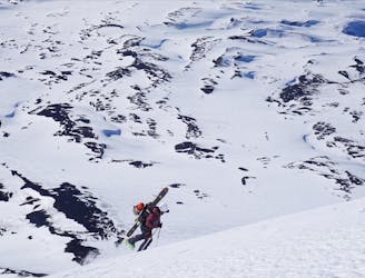
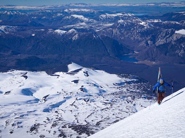
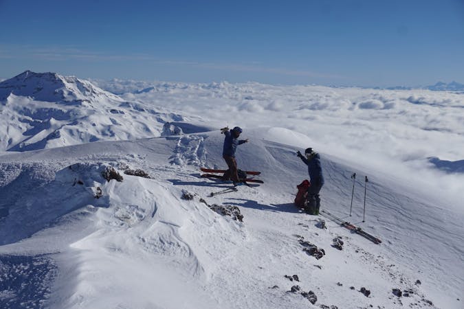
The longest line in Araucanía!
Difficult Ski Touring
- Distance
- 14 km
- Ascent
- 1.6 km
- Descent
- 1.6 km
A very direct ascension to one of the most iconic peaks of the Araucania Andina.
Ski Touring Moderate

From Malalcahuello, drive to the West entrance of Conguillio National Park and follow the signs to Captren lake. In winter is very likely that this road will be covered with snow in the last few kms. If the park is open and there is staff working you will have to pay the entrance fee and and keep driving further until you can't due to snow conditions. But you can start skinning up from that point. The route is very clear as you are always seeing the volcano in front of you and is easy to find your path. Make sure to carry crampons and ice axe as the ascension route could be icy.


Moderate
Slopes become slightly steeper at around 25-30 degrees.

As well as the slope itself, there are some obstacles (such as rock outcrops) which could aggravate injury.

Little chance of being seen or helped in case of an accident.
9.6 km away
The longest line in Araucanía!
Difficult Ski Touring
3 routes · Ski Touring
10 routes · Resort Ski Touring · Ski Touring