9 m away
Cerro Colorado
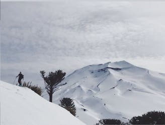
A short tour with a great freeride descent
Moderate Ski Touring
- Distance
- 4.8 km
- Ascent
- 387 m
- Descent
- 387 m
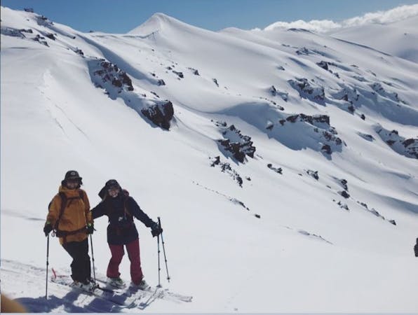
This is the most popular route to reach the summit of Lonquimay and descend around 1400m elevation
Ski Touring Difficult

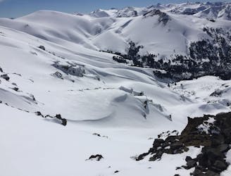
Lonquimay volcano is a symmetrical stratovolcano with a flat top in central Chile immediately South East of Tolhuaca volcano. It contains a glacier down on the south flank and also in the summit crater.
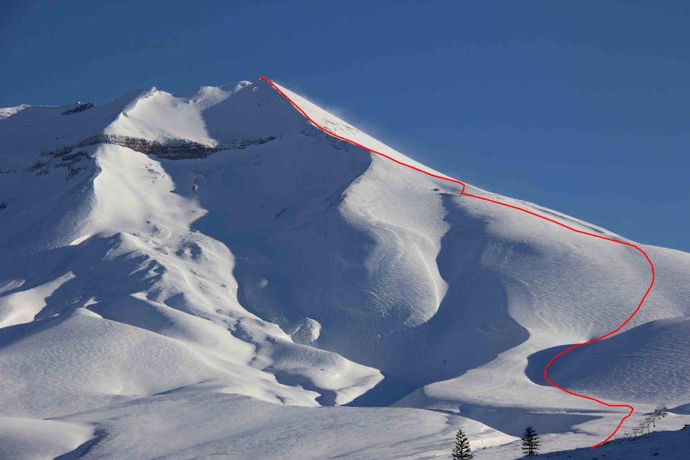
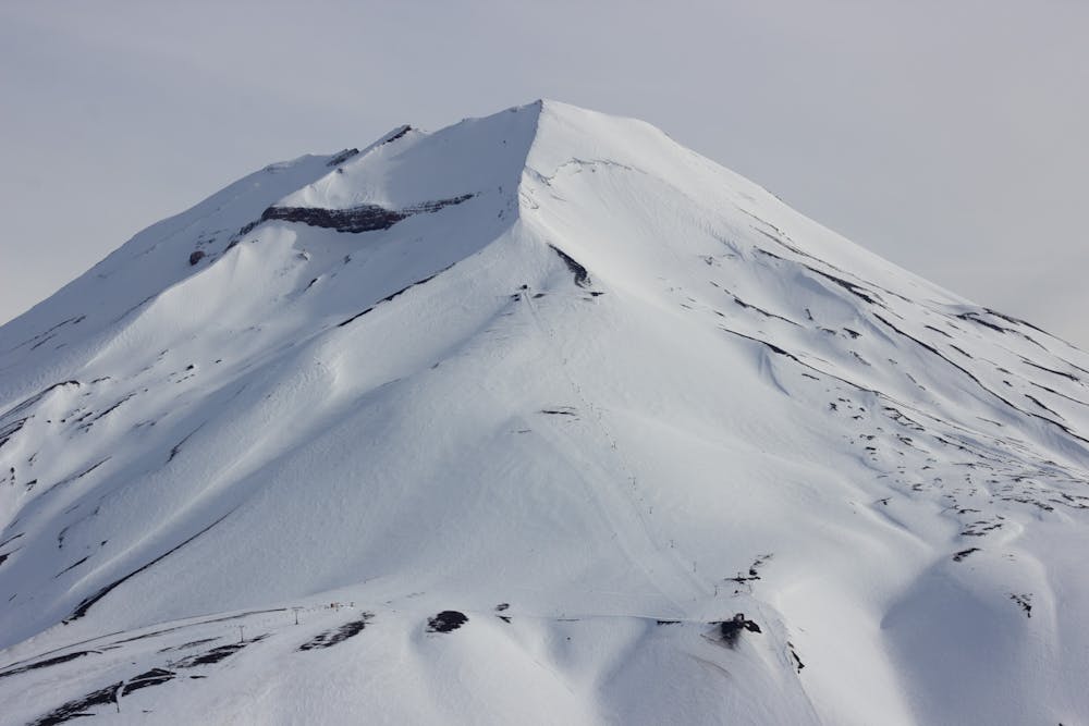
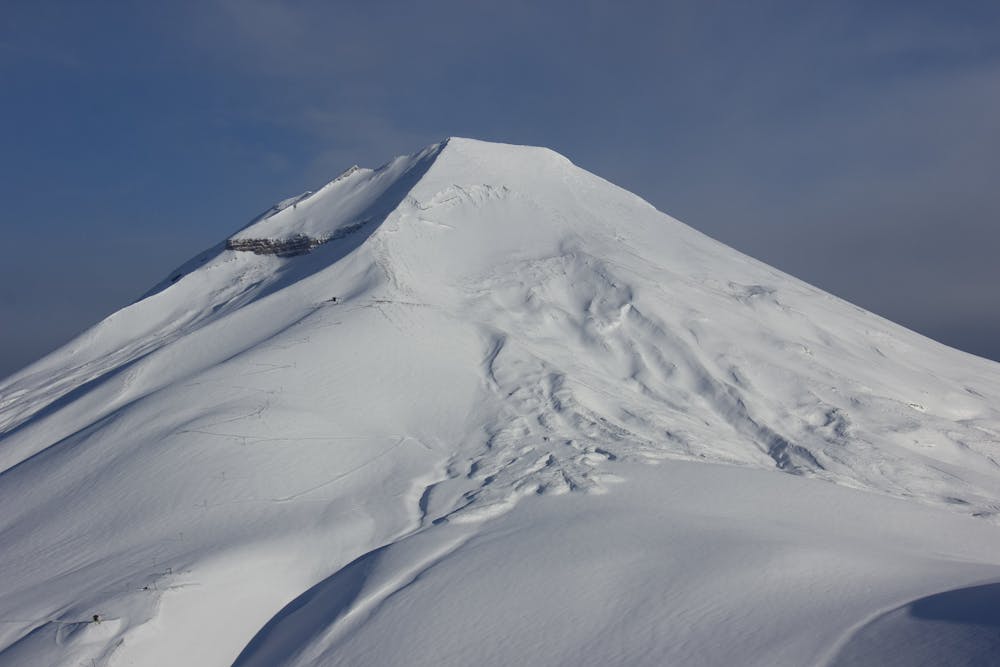
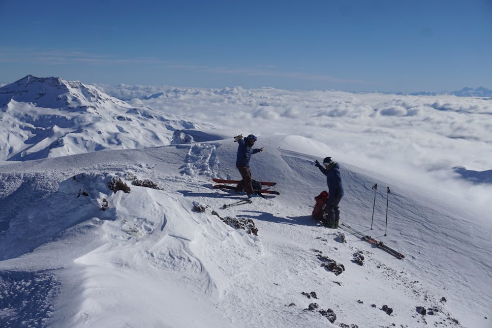
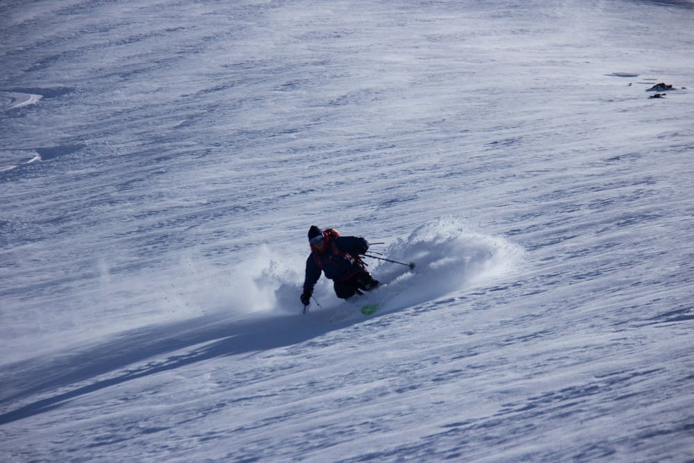
Lonquimay volcano has an altitude of 2865m meaning that it will provide 1400m of pure vertical satisfaction from the summit to the parking lot of Corralco ski resort.
<h2>Ski Descent</h2>
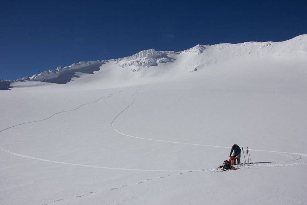
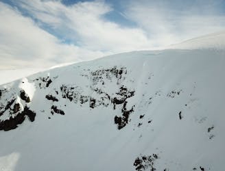
-A mix of an east face descend until around 2500m altitude to begin a long traverse skiers right through the vicinity of "Andarivel Cumbre", this one is more direct to head down directly to the parking lot by taking either "Bowl del Cumbre" (In general, pretty good conditions and accumulation any normal day), the next bowl under - "Farellón" - (Good conditions in general but more affected by strong winds than "Canalón Cumbre") or down through Corralco boundaries (the most conservative descend).
Difficult
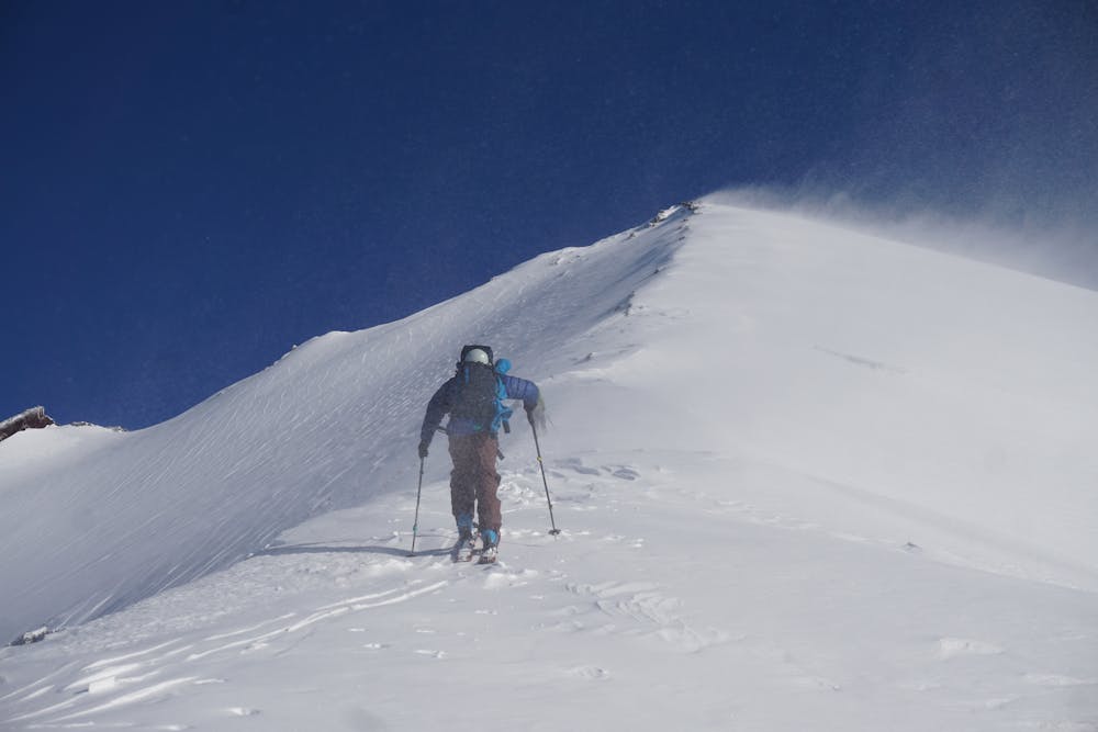
Serious gradient of 30-38 degrees where a real risk of slipping exists.

As well as the slope itself, there are some obstacles (such as rock outcrops) which could aggravate injury.
Away from help but easily accessed.
9 m away
A short tour with a great freeride descent
Moderate Ski Touring
1.2 km away
The hildden gems nearby Corralco Resort
Moderate Ski Touring
9.1 km away
From ancient forests to a steep chute
Difficult Ski Touring
3 routes · Ski Touring

10 routes · Resort Ski Touring · Ski Touring