10 km away
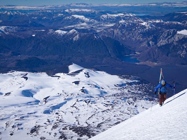
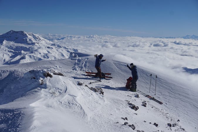
Volcán Llaima - Centro de ski Las Araucarias
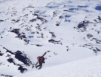
The longest line in Araucanía!
Difficult Ski Touring
- Distance
- 14 km
- Ascent
- 1.6 km
- Descent
- 1.6 km
Ladera Norte
Ski Touring Difficult

This is a popular ski touring route which is generally considered to be difficult. It's not remote, it features medium exposure (e2) and is typically done between June and October. From a low point of 1.3 km to the maximum altitude of 3.1 km, the route covers 13 km, 1801 vertical metres of ascent and 1696 vertical metres of descent. It's graded 2.2 and Labande grade 3. You'll need skins and crampons to complete it safely.
Long descent and open terrain.
Difficult
Serious gradient of 30-38 degrees where a real risk of slipping exists.

As well as the slope itself, there are some obstacles (such as rock outcrops) which could aggravate injury.

Close to help in case of emergency.
10 km away
The longest line in Araucanía!
Difficult Ski Touring
3 routes · Ski Touring
10 routes · Resort Ski Touring · Ski Touring