5.5 km away
Portezuelo cerro Combo
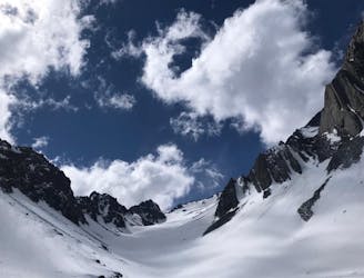
A classic route with great snow and steep slopes.
Difficult Ski Touring
- Distance
- 13 km
- Ascent
- 1.4 km
- Descent
- 1.3 km
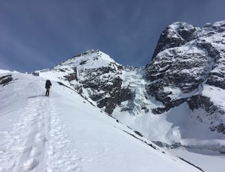
A great descent with less obstacles than the southeastern slope
Ski Touring Difficult

This is a popular ski touring route which is generally considered to be difficult. It's an unknown remoteness, it features unknown exposure and is typically done in an unknown time of year. From a low point of 2.9 km to the maximum altitude of 3.7 km, the route covers 1.1 km, 0 vertical metres of ascent and 710 vertical metres of descent.
.
Difficult
Serious gradient of 30-38 degrees where a real risk of slipping exists.
5.5 km away
A classic route with great snow and steep slopes.
Difficult Ski Touring
5.5 km away
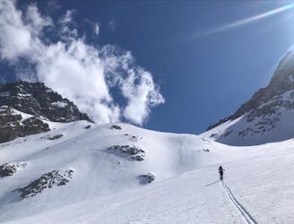
Excellent snow conditions and the most beautiful landscapes of the central Andes.
Severe Ski Touring
5.5 km away
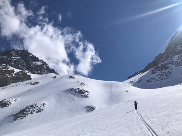
A fun little adventure where you can enjoy multiple descents with great snow.
Moderate Ski Touring
3 routes · Ski Touring