Vuelo del Condor
A scenic run along a canyon on the flanks of Cotopaxi.
Difficult Mountain Biking
- Distance
- 4.4 km
- Ascent
- 0 m
- Descent
- 726 m
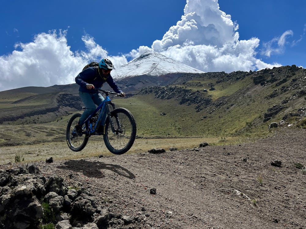
An absolutely stupendous ride down the flanks of one of the world's tallest active volcanoes!
Mountain Biking Severe

Holy Ridge reigns the best trail on the slopes of Cotopaxi—one of the tallest active volcanoes in the world. This ripping descent combines freeride-shredding on wide-open scree fields with high-speed singletrack and tech features.
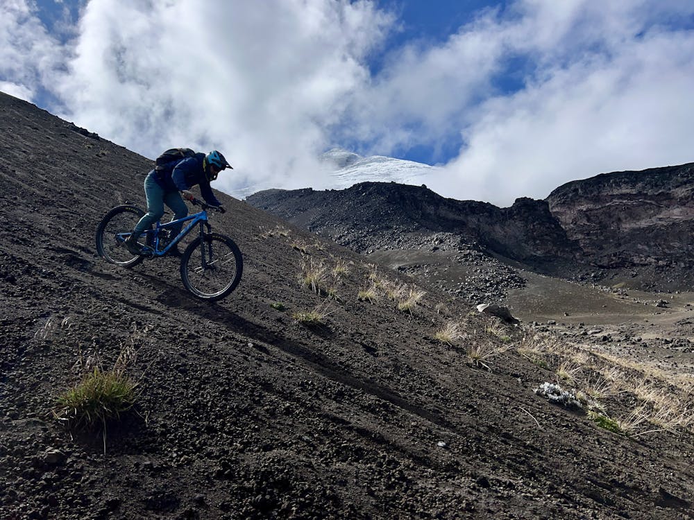
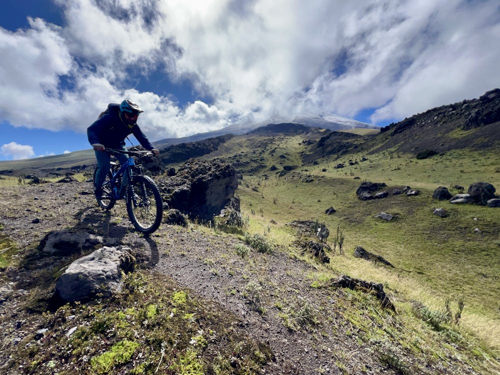
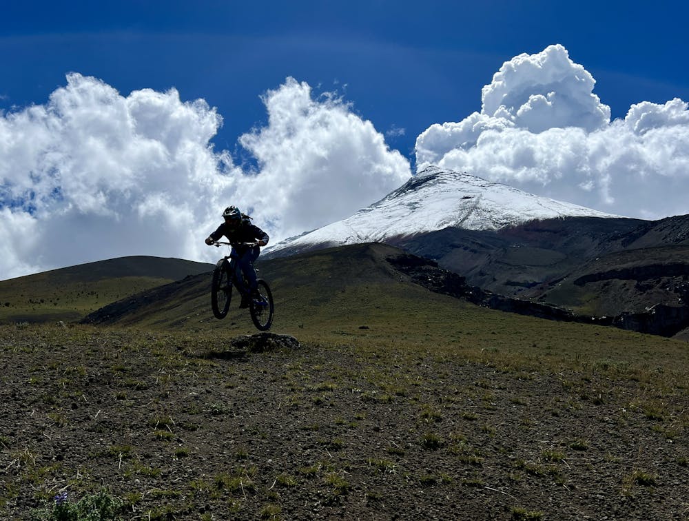
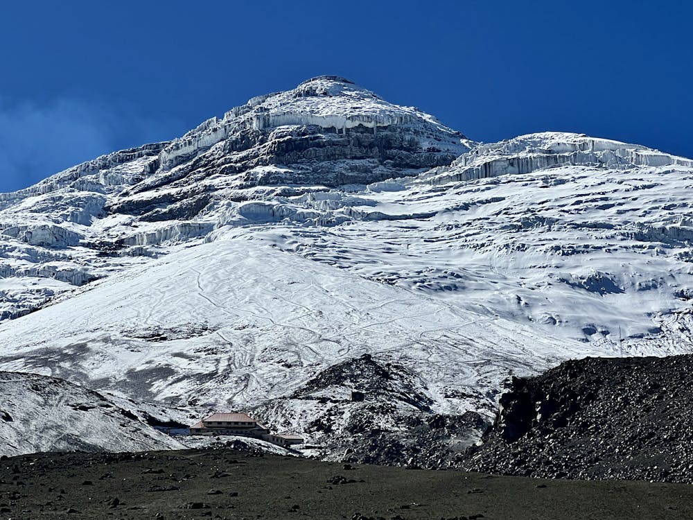
After a grueling shuttle up a rutted-out dirt road, you'll unload in a sandy parking lot at 15,132 feet above sea level. Be sure to take a moment to pause and look up at the towering glacier above you and soak in the enormity of the landscape that you're preparing to shred on your mountain bike.
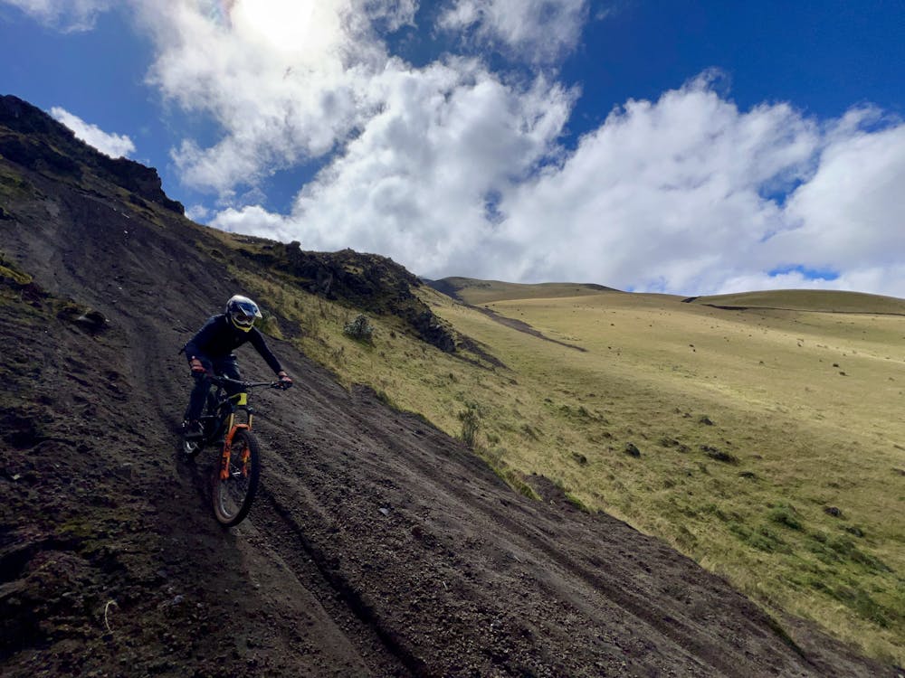
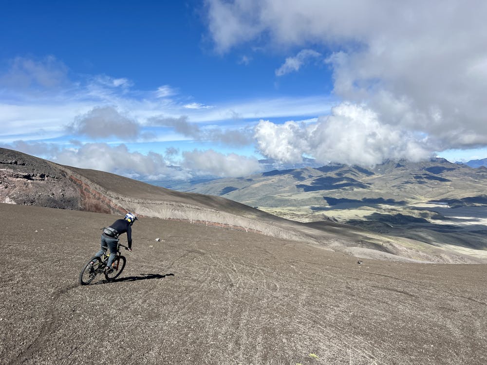
The descent begins on a steep, wide-open slope of volcanic gravel and sand. With free reign to ride wherever you please, you can choose to carve swoopy turns into the loose grit, just like your favorite professional freerider. But as it turns out, carving turns down a volcano is harder than it looks! Just getting down these steep slopes in one piece is an accomplishment.
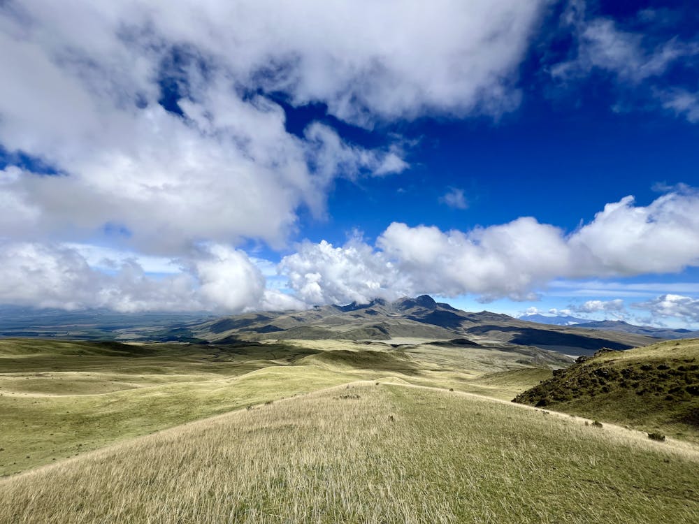
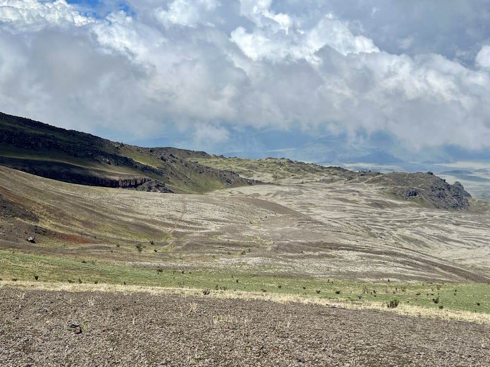
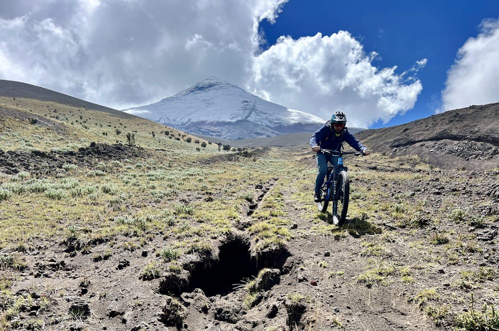
After the first scree slope, you'll rip into a wide-open field as the trail descends into the paramo landscape. A faint track shows the way, but you can fly down these wide-open meadows wherever you please. Be sure to keep an eye out for the natural kickers and jumps along the way!
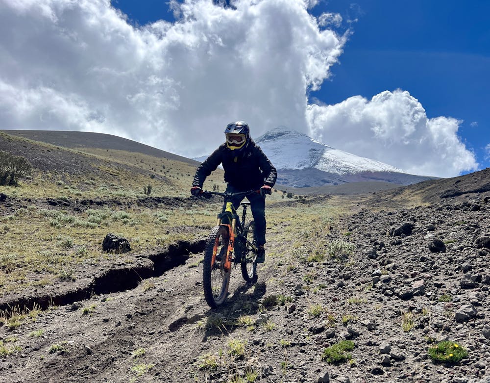
There's one more steep gravel/scree section to conquer, which requires slipping and sliding through a series of towering boulders and skidding down a steep chute.
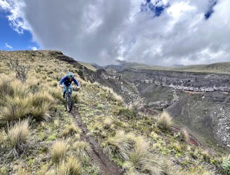
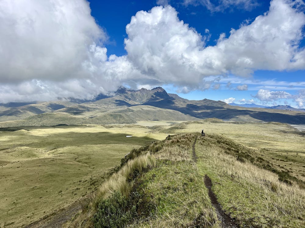
Next, you'll reach the eponymous Holy Ridge itself: a grassy rolling ridgeline with a sinuous strip of singletrack along the very top. This sweet stretch of trail is an absolute delight! You can let off the brakes and rock-and-roll down this glorious ridgeline. The views in front of you are absolutely stupendous, but don't get too distracted: falling from this elevated ridge would be unfortunate.
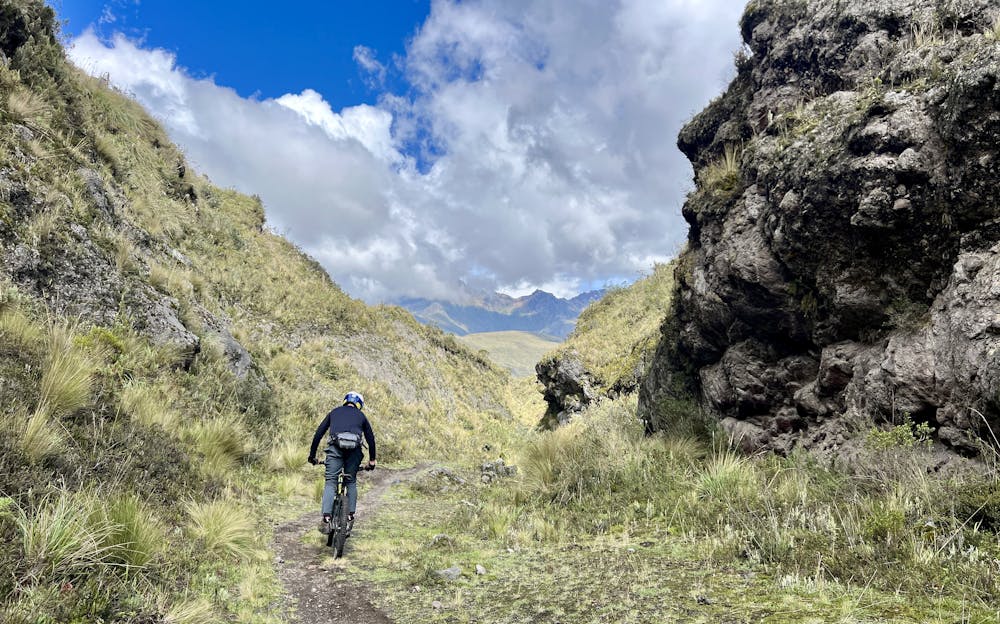
Following Holy Ridge, the trail character changes dramatically as it drops into a canyon bottom, following a dry wash downhill. This is the most technically challenging portion of the route, with boulders, rock gardens, and one steep rock roller to negotiate. For advanced riders, this delightful dose of tech is the cherry on top of an absolutely fantastic shuttle run!
While the trail might look straightforward on the map, sorting out ride logistics and navigating some of Ecuador's trails can prove to be very difficult. I hired Andrés Chacho López of Epic Andes Tours to guide me on this ride and sort out the logistics, and I was very glad I did! From sorting out all the shuttles and drivers to guiding me down windswept screefields with nary a sign of a trail, working with Andrés in Ecuador was 100% the way to go!
Severe
Widely variable, narrow trail tread with steeper grades and unavoidable obstacles of 15in/38cm tall or less. Obstacles may include unavoidable bridges 24in/61cm wide or less, large rocks, gravel, difficult root sections, and more. Ideal for advanced-level riders.

Some trail sections have exposed ledges or steep ascents/descents where falling could cause serious injury.
Little chance of being seen or helped in case of an accident.
A scenic run along a canyon on the flanks of Cotopaxi.
Difficult Mountain Biking

6 routes · Mountain Biking