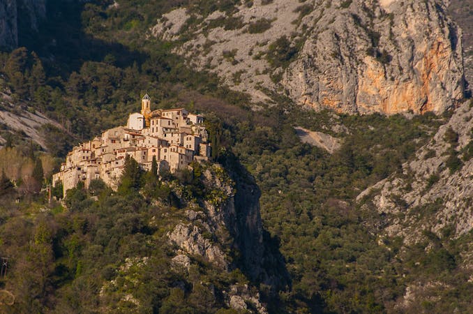
8.8 km away
Via Alpina: Peillon to Monaco
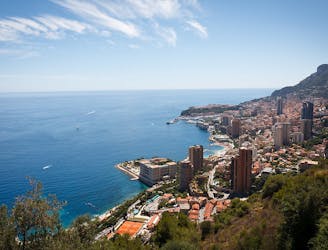
The final day of the 7-day hike along the Via Alpina from the Italian Alps to Monaco.
Moderate Hiking
- Distance
- 11 km
- Ascent
- 480 m
- Descent
- 804 m
Piacevole circumnavigazione di Cap Ferrat
Hiking Easy

This is a popular hiking route which is generally considered to be easy. It's remote, it features low exposure and is typically done between September and May. From a low point of 0 m to the maximum altitude of 57 m, the route covers 11 km, 216 vertical metres of ascent and 216 vertical metres of descent.
Facile anello sul mare che attraversa tre ambienti diversi
Easy
Walking along a well-kept trail that’s mostly flat. No obstacles are present.

The path is on completely flat land and potential injury is limited to falling over.

Away from help but easily accessed.
8.8 km away
The final day of the 7-day hike along the Via Alpina from the Italian Alps to Monaco.
Moderate Hiking
7 routes · Hiking