12 routes
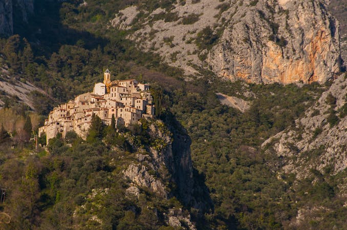
Go hiking in Alpes-Maritimes with curated guides of the best hikes across the region. With over 32 3D trail maps in FATMAP, you can easily discover and navigate the best trails in Alpes-Maritimes.
No matter what your next adventure has in store, you can find a guide on FATMAP to help you plan your next epic trip.
Get a top hiking trail recommendation in Alpes-Maritimes from one of our 1 guidebooks, or get inspired by the 32 local adventures uploaded by the FATMAP community. Start exploring now!
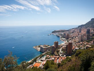
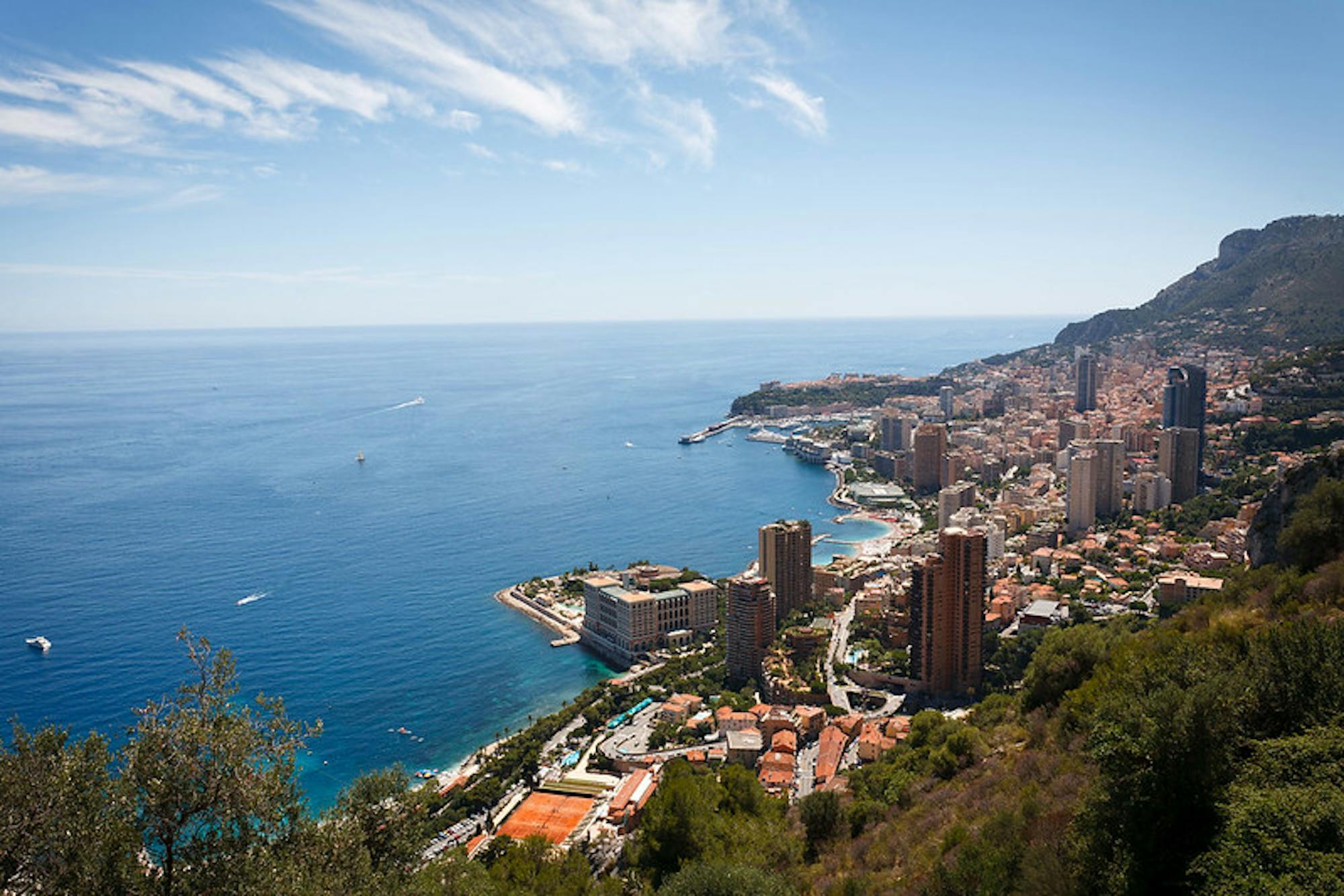
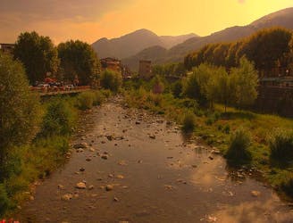
The final day of the 7-day hike along the Via Alpina from the Italian Alps to Monaco.
Moderate Hiking
Day 6 of the Via Alpina 7 day itinerary from the italian Alps to the Mediterranean.
Moderate Hiking
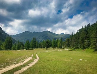
Day 5 of the Via Alpina 7 day itinerary from the Italian Alps to the Mediterranean.
Moderate Hiking
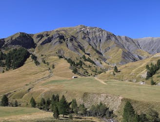
Day 4 of the Via Alpina Red itinerary from the Italian Alps to the Mediterranean.
Difficult Hiking
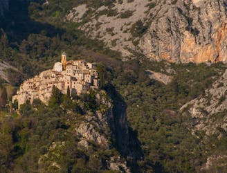
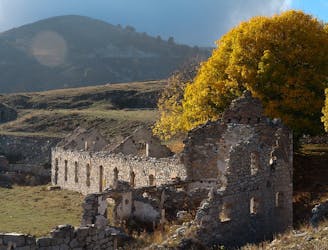
Day 3 of the Via Alpina Red hiking itinerary takes you into Mercantour National Park and through the famous Vallée des Merveilles.
Difficult Hiking
Day 2 of the 7 day Via Alpina Red itinerary from the italian Alps down to Monaco.
Moderate Hiking

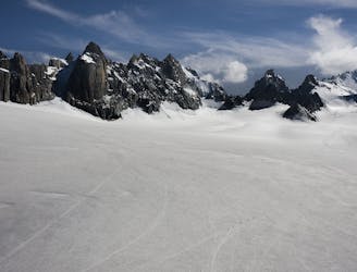
Over the Alps MAritime with border crossing to Italy
Difficult Hiking

Traverse of the French Alps oin opposite direction
Difficult Hiking
7 routes · Hiking