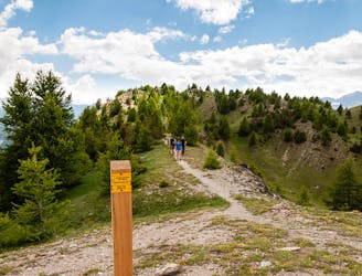
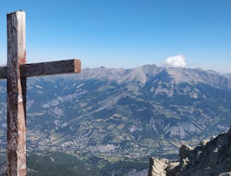
Via Alpina: Queyras Massif to the Ubaye Valley
5-day hike along the Via Alpina in the French and Italian Alps.
Difficult Hiking
- Distance
- 75 km
- Ascent
- 5.7 km
- Descent
- 4.9 km
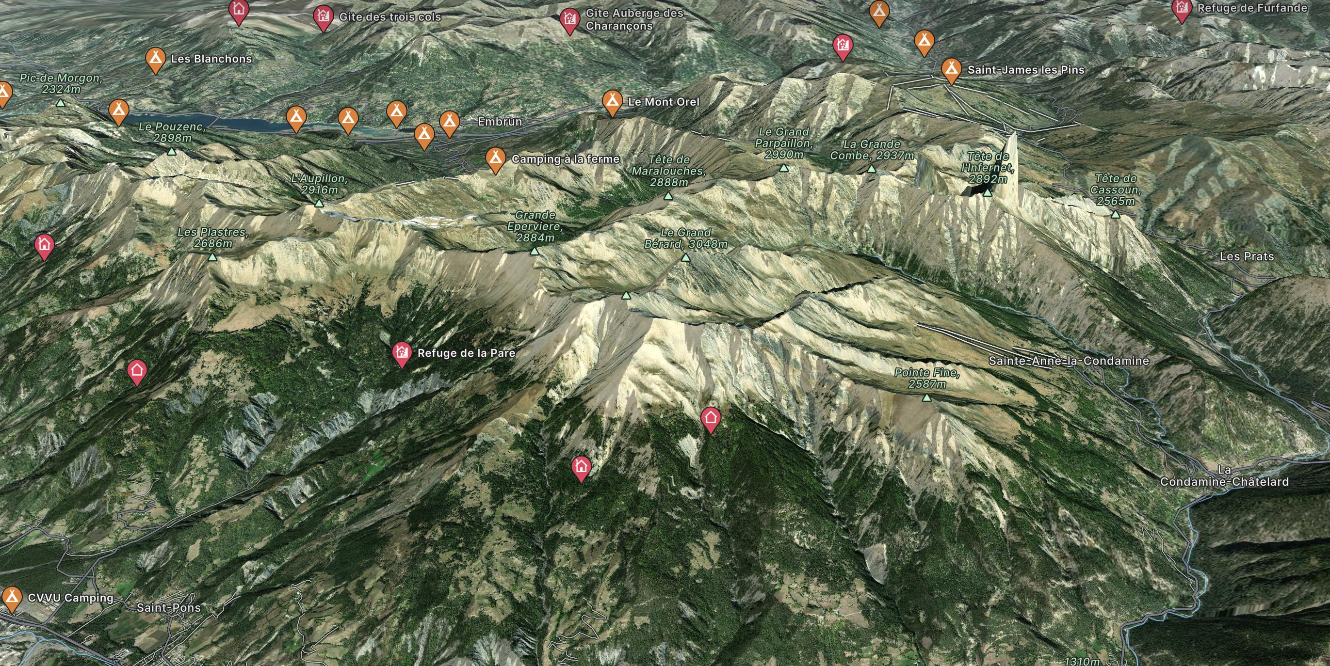
Go hiking in Barcelonnette with curated guides of the best hikes across the region. With over 12 3D trail maps in FATMAP, you can easily discover and navigate the best trails in Barcelonnette.
No matter what your next adventure has in store, you can find a guide on FATMAP to help you plan your next epic trip.
Get a top hiking trail recommendation in Barcelonnette from one of our 1 guidebooks, or get inspired by the 12 local adventures uploaded by the FATMAP community. Start exploring now!
5-day hike along the Via Alpina in the French and Italian Alps.
Difficult Hiking

Beautiful excursion, along a fairly popular itinerary, which touches numerous lakes
Moderate Hiking
Du Sauze 1400 au Chapeau de Gendarme Face Est ; Col de Gyp ; Col de Fours
Moderate Hiking
De l'immeuble CBU du Sauze jusqu'au Chapeau de Gendarme Face Nord
Difficult Hiking

3 routes · Hiking