9.3 km away
Alta Via Dei Monti Liguri: Ventimiglia to San Bernardo di Mendatica
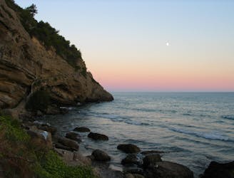
Stage 1 of the magnificent high alpine trail through Liguria.
Difficult Hiking
- Distance
- 64 km
- Ascent
- 4.1 km
- Descent
- 2.8 km
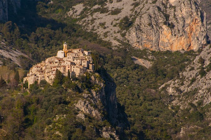
Over the Alps MAritime with border crossing to Italy
Also in Cuneo, Italy
Hiking Difficult

This is a popular hiking route which is generally considered to be difficult. It's remote, it features high exposure and is typically done between July and August. From a low point of 0 m to the maximum altitude of 2.7 km, the route covers 177 km, 12456 vertical metres of ascent and 10097 vertical metres of descent.
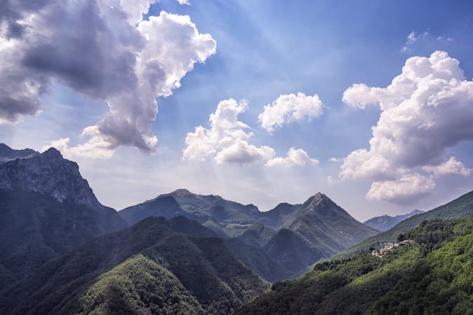
The GR52 with connection to GR5
Difficult
Hiking trails where obstacles such as rocks or roots are prevalent. Some obstacles can require care to step over or around. At times, the trail can be worn and eroded. The grade of the trail is generally quite steep, and can often lead to strenuous hiking.

Some trail sections have exposed ledges or steep ascents/descents where falling could cause serious injury.

Away from help but easily accessed.
9.3 km away
Stage 1 of the magnificent high alpine trail through Liguria.
Difficult Hiking
9.5 km away
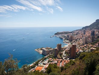
The final day of the 7-day hike along the Via Alpina from the Italian Alps to Monaco.
Moderate Hiking
7 routes · Hiking
8 routes · Hiking