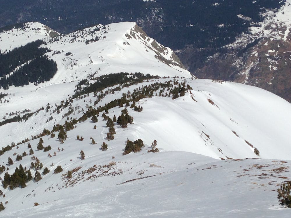
freeride Ax-Les Thermes
petit hors-piste aux abords de la station
Freeride Skiing Easy
- Distance
- 2 km
- Ascent
- 0 m
- Descent
- 467 m
- Low Point
- 1.9 km
- High Point
- 2.4 km
- Gradient
- 29˚

This is a popular freeride skiing route which is generally considered to be easy. It's remote, it features medium exposure (e2) and is typically done between January and March. From a low point of 1.9 km to the maximum altitude of 2.4 km, the route covers 2 km, 0 vertical metres of ascent and 467 vertical metres of descent. It's graded 2.1 and Labande grade 1.
Description
15 min de marche par le départ de couillade et arrivée à la fin de savis
Difficulty
Easy
Wide gentle slopes at around 20 degrees or less.
Medium Exposure (E2)

As well as the slope itself, there are some obstacles (such as rock outcrops) which could aggravate injury.
Remoteness
Away from help but easily accessed.
Best time to visit
Features
- Face
- Walk Required