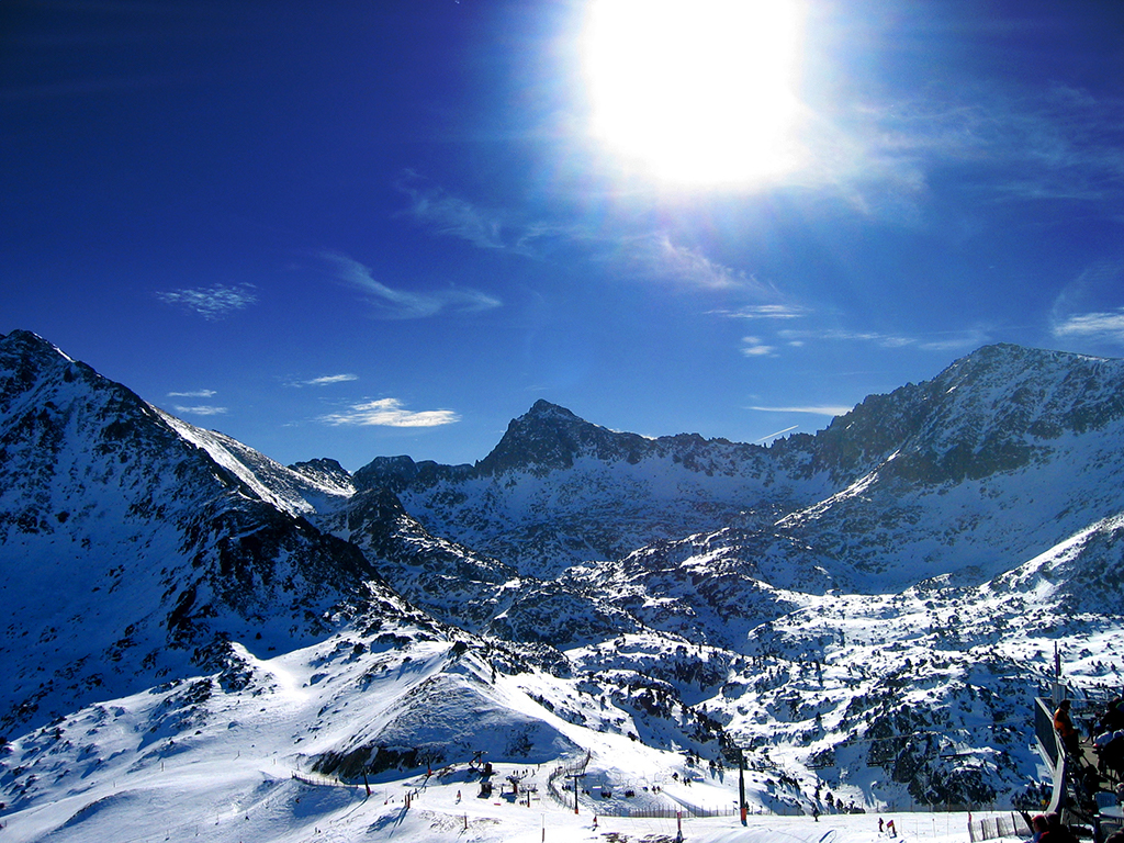
53 routes · Freeride Skiing · Hiking
Explore Ariège with curated guides of the best hiking trails, and more. With over 30 3D trail maps in FATMAP, you can easily discover and navigate the best trails in Ariège.
No matter what your next adventure has in store, you can find a guide on FATMAP to help you plan your next epic trip.
Get a top trail recommendation in Ariège, or get inspired by the 30 local adventures uploaded by the FATMAP community. Start exploring now!
53 routes · Freeride Skiing · Hiking

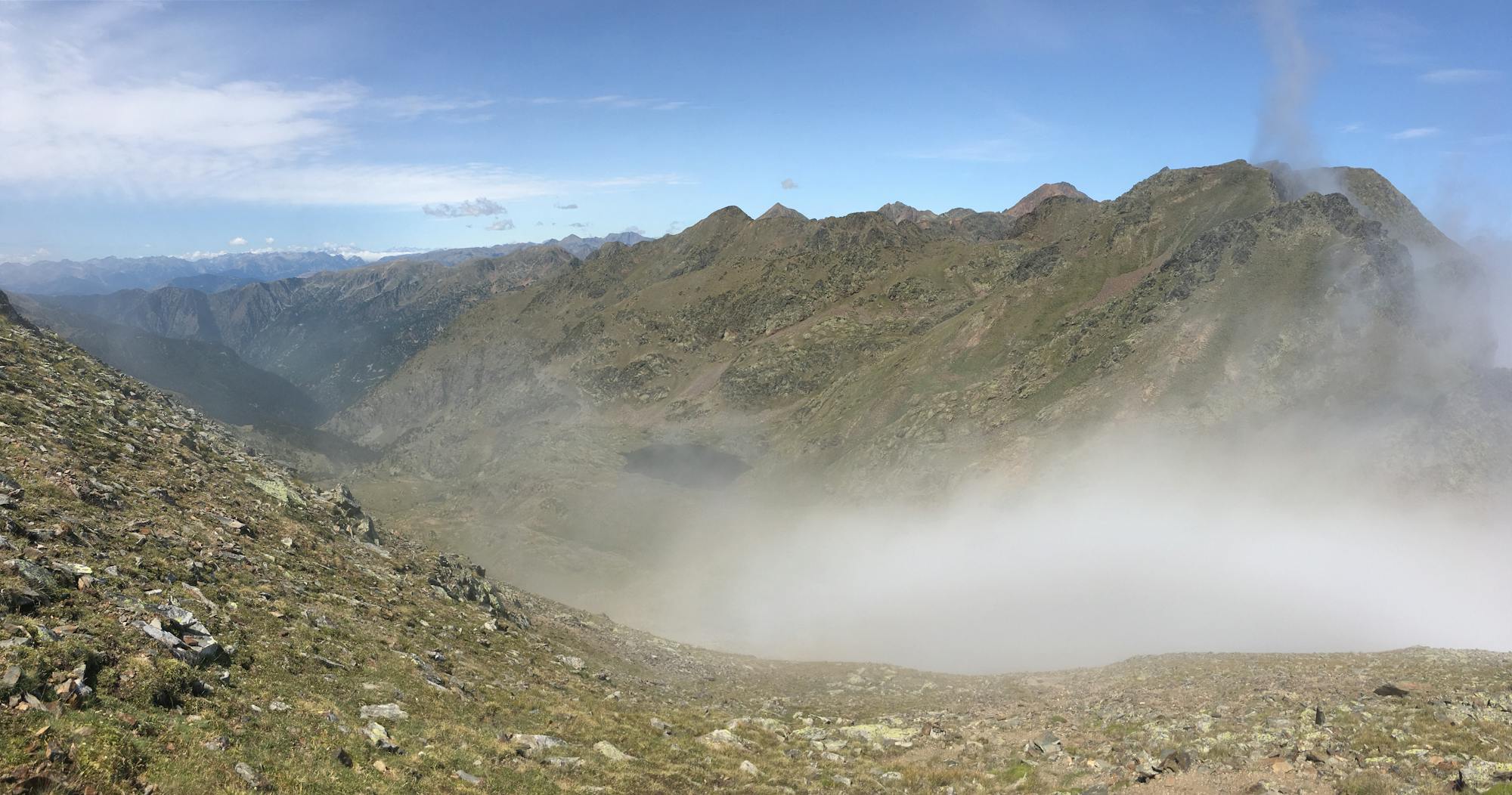
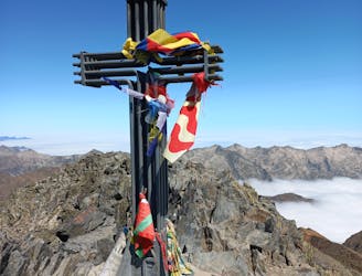
Strenous roundtrip around Pic d´Estats
Difficult Hiking
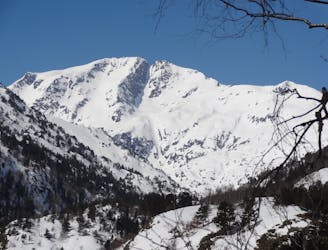
A very classic line on the region. Attractive and very accesible from the emergency hut.
Moderate Freeride Skiing
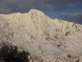
The line of the valley. An amazing descent facing South.
Difficult Freeride Skiing

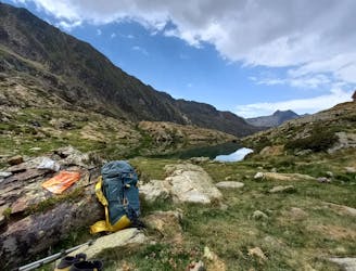
Itinéraire passant par le mont Ceint, l'étang d'Alate le refuge de Bassiès, la Pique Rouge de Bassiès et les cascades de Pressac et de l'Artigues
Difficult Hiking
16 Km - 1400 / 1200 - / Très belle et grosse étape de haute montagne. Rouge.
Difficult Hiking
1ère étape de la TransPyr 3 / 9,5 km / 1185 / 94 -/ Verte
Moderate Hiking
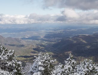
Superb balcony over Biscos valley and the mains peaks of Couserans Pyrenees
Moderate Hiking
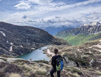
Le Pic des Trois Seigneurs, célèbre sommet du Cousserans culminant à 2199 mètres, se situe dans le parc naturel régional des Pyrénées Ariégeoises.
Moderate Hiking