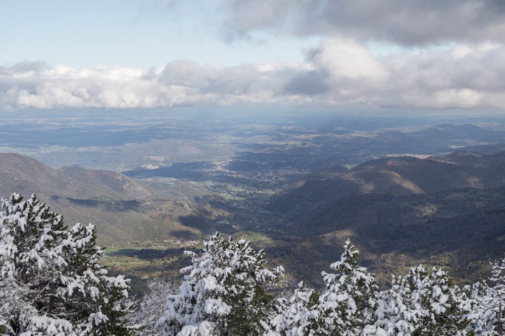
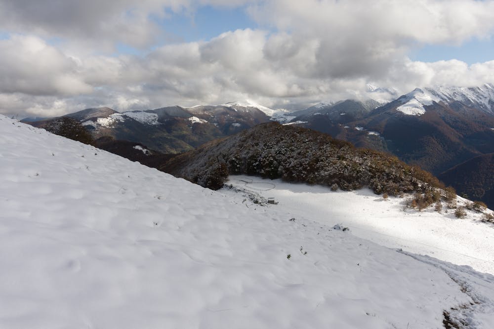
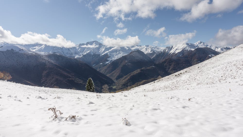
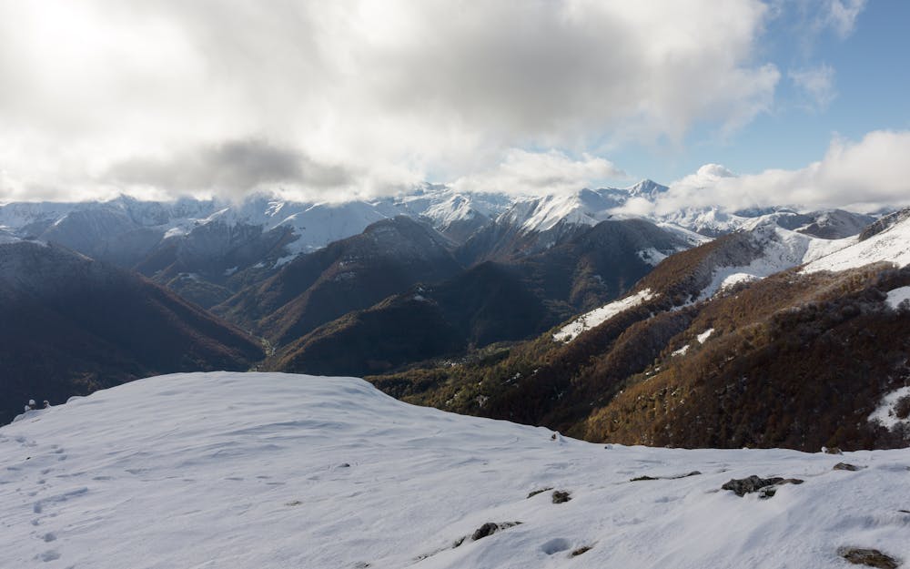
Pic de l'Arraing
Superb balcony over Biscos valley and the mains peaks of Couserans Pyrenees
Hiking Moderate
- Distance
- 8.9 km
- Ascent
- 768 m
- Descent
- 768 m
- Duration
- 3-4 hrs
- Low Point
- 890 m
- High Point
- 1.7 km
- Gradient
- 14˚

ENGLISH | FRANÇAIS | ESPAÑOL
- •
- •
- •
- •
Description
EN:
This routes offers a great perspective over the main summits of this Pyreenes area. The route itself it´s quite interesting.FR:
Belle randonnée qui offre un panorama d'exception vers les montagnes frontaliers des Pyrénées de l'Ariège et la vallée de Biros.ES:
Ruta interesante y muy panorámica durante todo su recorrido. Bonitas vistas sobre las montañas más altas de este sector del Pirineo y de los valles franceses colindantes.- Info & images here:
https://www.nevasport.com/eMotion365/art/61401/al-norte-de-beret-francia/
Difficulty
Moderate
Hiking along trails with some uneven terrain and small hills. Small rocks and roots may be present.
Medium Exposure

The trail contains some obstacles such as outcroppings and rock which could cause injury.
Remoteness

Close to help in case of emergency.
Best time to visit
Features
- Wildlife
- Picturesque
- Summit Hike
- Dog friendly
- Wild flowers
- Family friendly
- Forestry or heavy vegetation