Plateau de Beille Tour
An easy but inspiring route: woodlands and fascinating 360º views
Hiking Moderate
- Distance
- 17 km
- Ascent
- 477 m
- Descent
- 477 m
- Duration
- 4-5 hrs
- Low Point
- 1.7 km
- High Point
- 2 km
- Gradient
- 7˚

ENGLISH | FRANÇAIS | ESPAÑOL
- •
- •
- •
- •
- •
- •
Description
EN
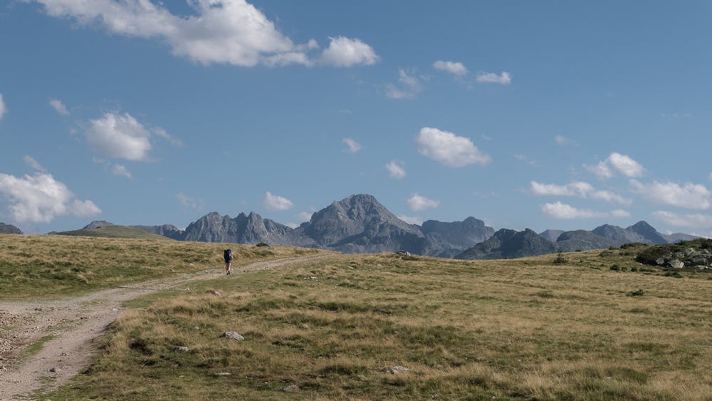
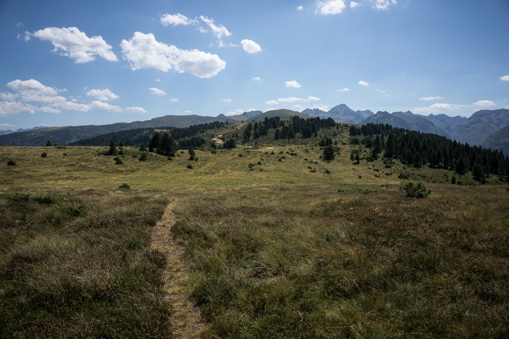
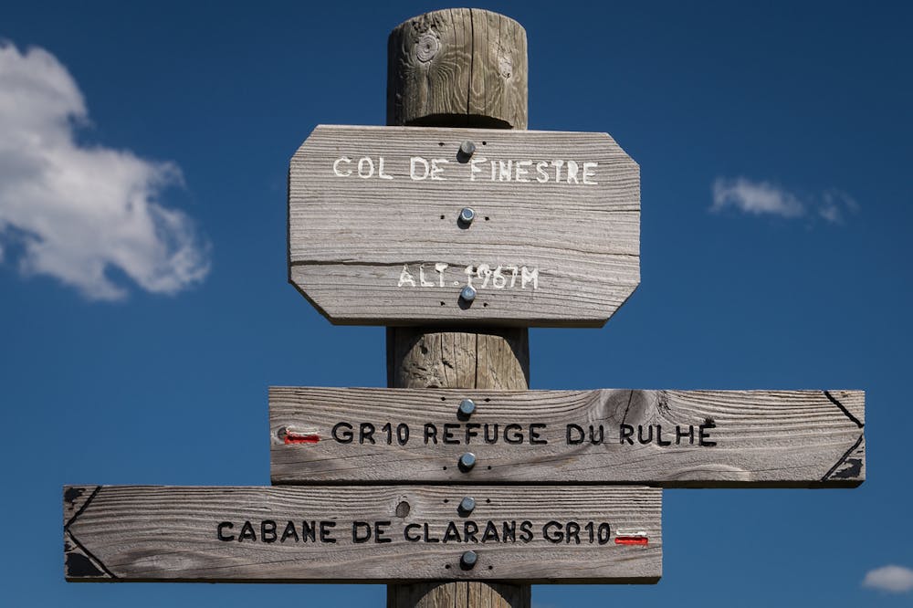
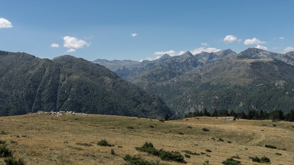
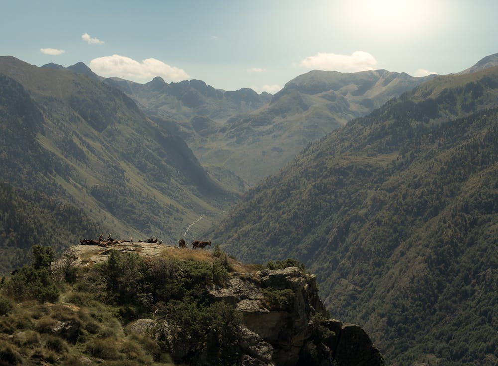
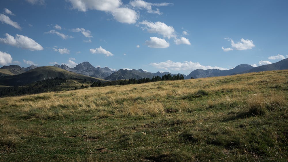
Nice tour around the Beille cross country ski resort. You will follow the paths on the forest and rounded ridges all over the ski domain. Great view during the whole route, a top mountain view inmersion from the first minute.FR
Itinéraire à travers la station du fond de Beille en suivant de chemins très variés: des sentiers forestiers et des pistes sur le crêtes vallonnés: un belvédère exceptionnel sur des grands sommets des Pyrénées Ariégeoises.ES
La ruta sigue senderos y pistas de la estación de esquí de fondo de Beille y nos permite conocer prácticamente toda su extensión. Itinerario que alterna bosques y cresteos por las amplias lomas, con muy buenas vistas durante todo el recorrido.More additional info and images here: https://www.nevasport.com/eMotion365/art/60935/rutas-verano-pirineo-frances/
Difficulty
Moderate
Hiking along trails with some uneven terrain and small hills. Small rocks and roots may be present.
Medium Exposure

The trail contains some obstacles such as outcroppings and rock which could cause injury.
Remoteness

Close to help in case of emergency.
Best time to visit
Features
- Dog friendly
- Wild flowers
- Family friendly
- Forestry or heavy vegetation