Sentier Cathare (GR367)
Randonnée sur plusieurs jours suivant le sentier cathare (GR367)
Also in Aude, France
Hiking Moderate
- Distance
- 200 km
- Ascent
- 7.1 km
- Descent
- 6.9 km
- Duration
- 1 day +
- Low Point
- 192 m
- High Point
- 1.8 km
- Gradient
- 15˚

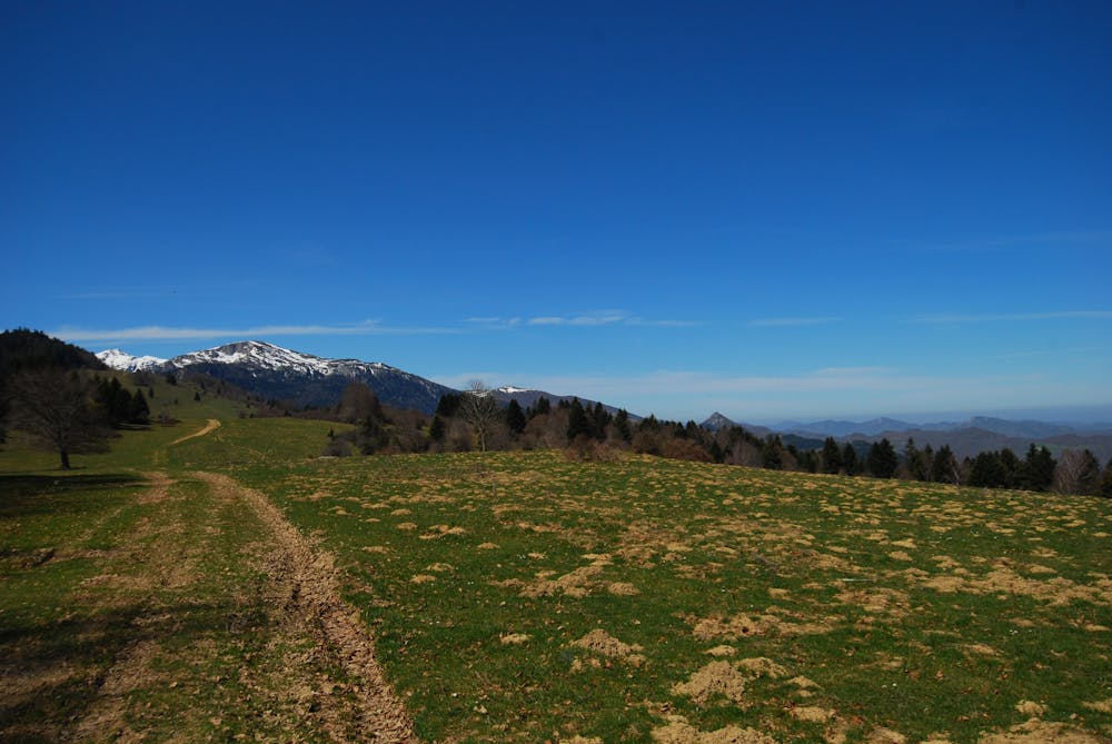
Tracé suivant en majorité le sentier cathare dans les Pyrénées orientales passant par les principaux chateaux cathares et Bugarach, de Padern à Foix. Les premières étapes du sentier cathare officiel partant de Port la Nouvelle ont été ignorées. Randonnée effectuée en 9 jours en avril 2015. Quelques névés subsistaient sur quelques sommets.
Description
Itinéraire magnifique, de belles rencontres, des lieux chargés d'histoires, et la gastronomie locale.
Difficulty
Moderate
Hiking along trails with some uneven terrain and small hills. Small rocks and roots may be present.
Medium Exposure

The trail contains some obstacles such as outcroppings and rock which could cause injury.
Remoteness
Away from help but easily accessed.
Best time to visit
Features
- Wildlife
- Picturesque
- Summit Hike
- Wild flowers
- Forestry or heavy vegetation