TransPyr 2 - J2 - De l"Hospitalet près l'Andorre au refuge de Rulhe
18 Km - 1200 + / 470 -
Hiking Moderate
- Distance
- 19 km
- Ascent
- 1.4 km
- Descent
- 604 m
- Duration
- 6-7 hrs
- Low Point
- 1.4 km
- High Point
- 2.5 km
- Gradient
- 12˚

This is a popular hiking route which is generally considered to be moderate. It's remote, it features medium exposure and is typically done between March and October. From a low point of 1.4 km to the maximum altitude of 2.5 km, the route covers 19 km, 1381 vertical metres of ascent and 604 vertical metres of descent.


- •
- •
- •
- •
- •
- •
- •
- •
- •
- •
- •
- •
Description
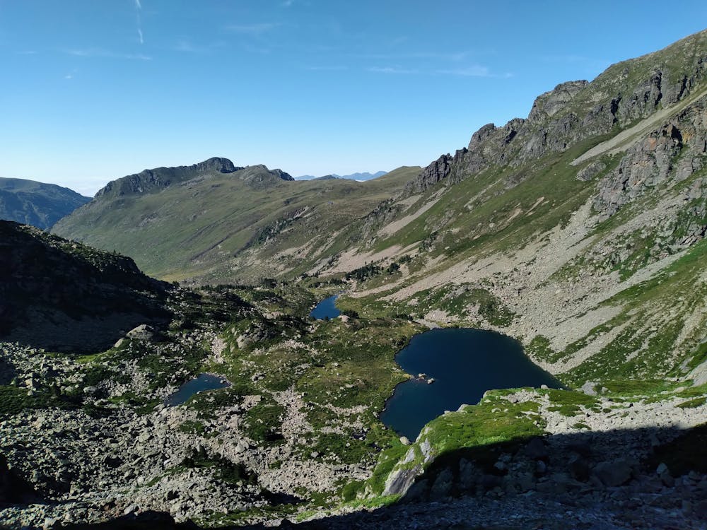
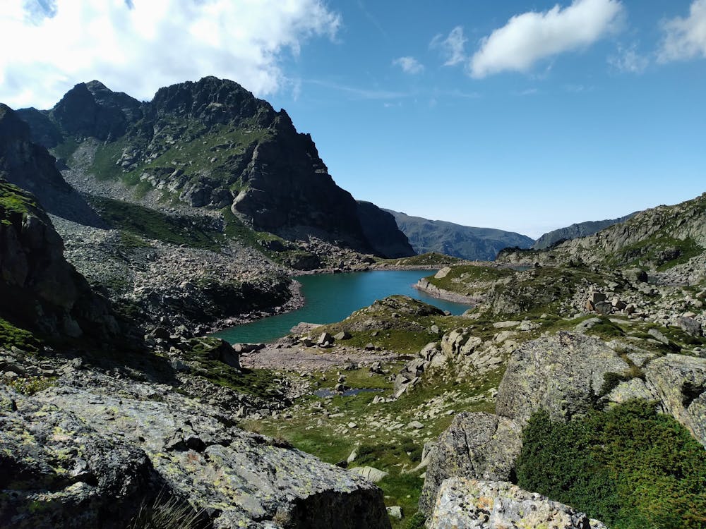
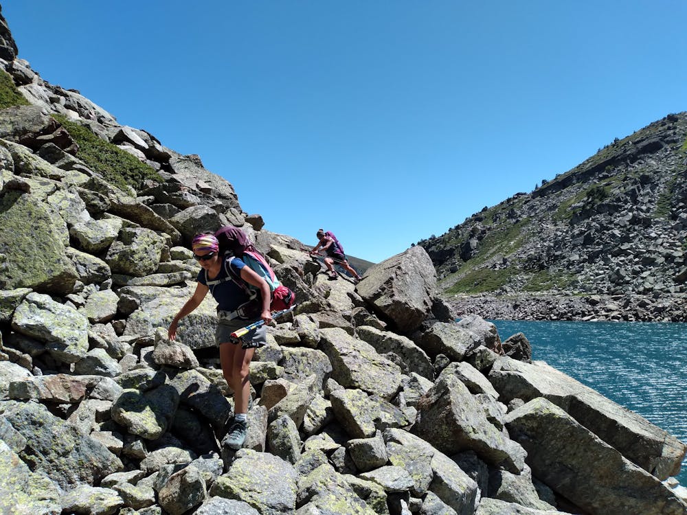
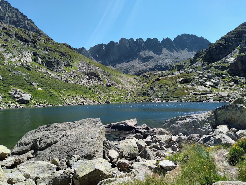
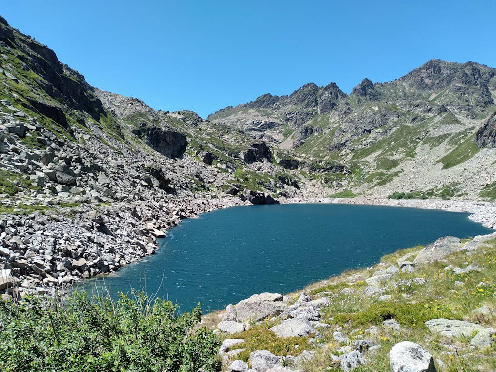
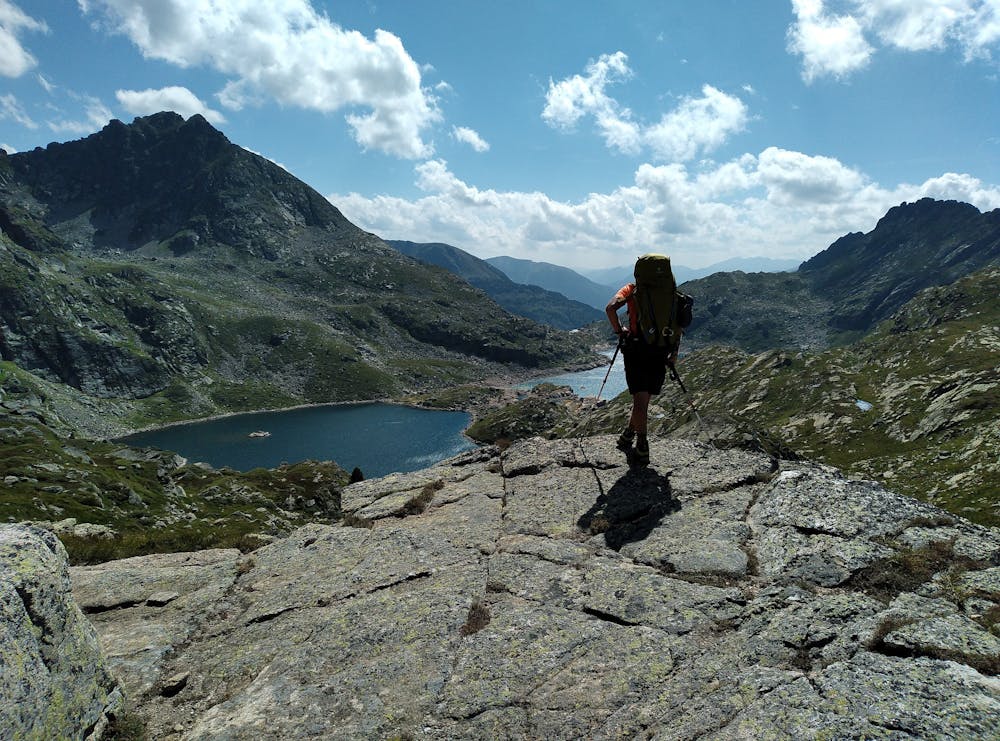
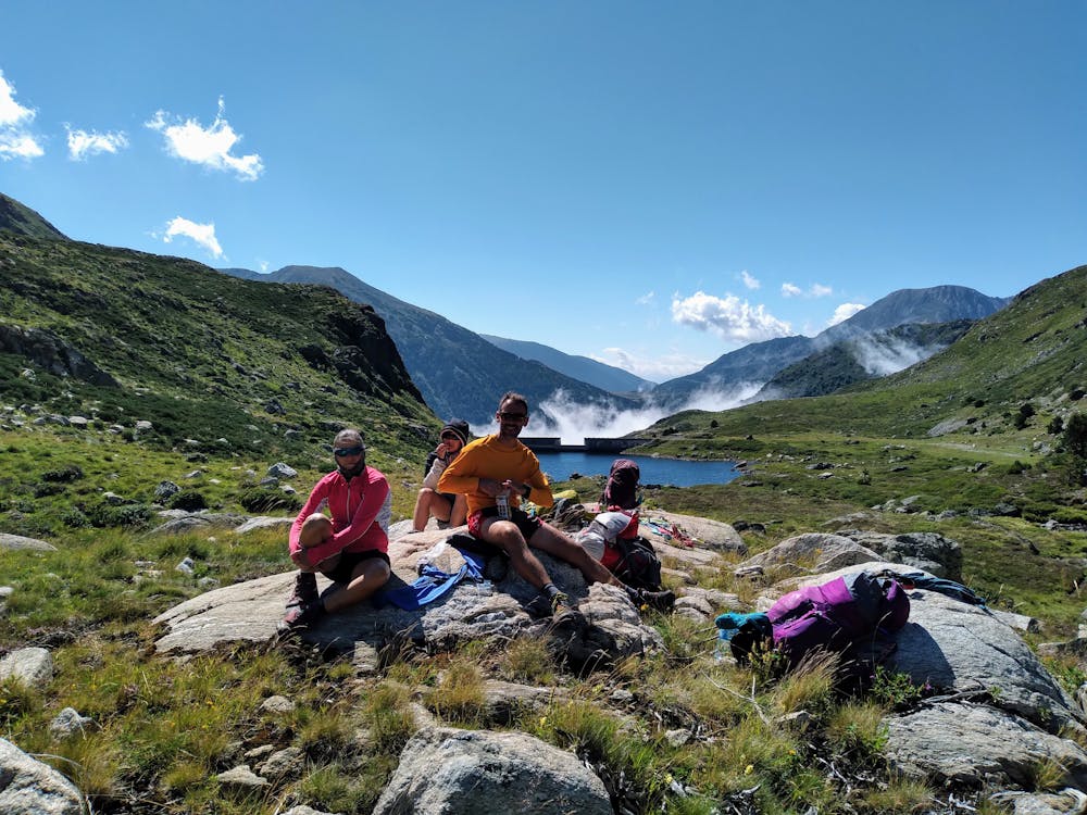
Une très belle randonnée en terre ariégeoise qui chemine de lacs en étangs... Pas de grosses difficultés malgré un cheminement parfois pas simple entre les blocs. Très bel emplacement du refuge de Rulhe.
Difficulty
Moderate
Hiking along trails with some uneven terrain and small hills. Small rocks and roots may be present.
Medium Exposure

The trail contains some obstacles such as outcroppings and rock which could cause injury.
Remoteness
Away from help but easily accessed.
Best time to visit
Features
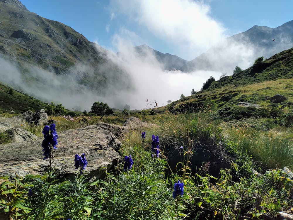
- Alpine
- Wildlife
- Picturesque
- Wild flowers
- Water features