Caychounet descent
Technical descent in the forest.
Mountain Biking Difficult
- Distance
- 897 m
- Ascent
- 0 m
- Descent
- 216 m
- Duration
- 0-1 hrs
- Low Point
- 663 m
- High Point
- 880 m
- Gradient
- 14˚

This is a popular mountain biking route which is generally considered to be difficult. It's remote, it features medium exposure and is typically done all year round. From a low point of 663 m to the maximum altitude of 880 m, the route covers 897 m, 0 vertical metres of ascent and 216 vertical metres of descent.
Description
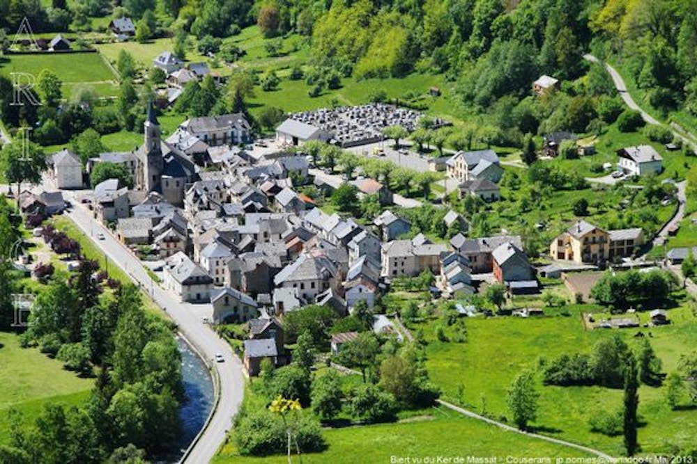
Start from the last hous of the village. Arrival on the road
Difficulty
Difficult
Mostly stable trail tread with some variability featuring larger and more unavoidable obstacles that may include, but not be limited to: bigger stones, roots, steps, and narrow curves. Compared to lower intermediate, technical difficulty is more advanced and grades of slopes are steeper. Ideal for upper intermediate riders.
Medium Exposure

The trail contains some obstacles such as outcroppings and rock which could cause injury.
Remoteness
Away from help but easily accessed.
Best time to visit
Features
- Technical
- Singletrack
- In the forest
- Roots