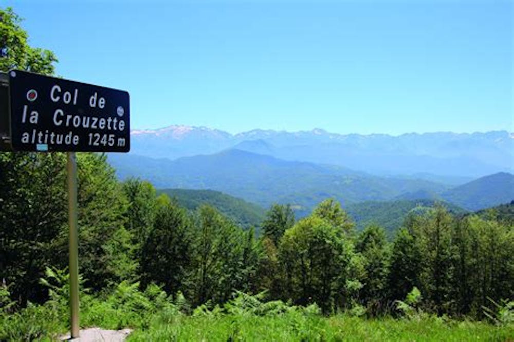
Col de la Crouzette
Descente dans la forêt et sur terrain humide.
Mountain Biking Moderate
- Distance
- 5.7 km
- Ascent
- 69 m
- Descent
- 694 m
- Duration
- 0-1 hrs
- Low Point
- 581 m
- High Point
- 1.2 km
- Gradient
- 11˚

This is a popular mountain biking route which is generally considered to be moderate. It's remote, it features medium exposure and is typically done between April and October. From a low point of 581 m to the maximum altitude of 1.2 km, the route covers 5.7 km, 69 vertical metres of ascent and 694 vertical metres of descent.
Description
Après 1er virage prendre le sentier dans la forêt. Le suivre jusqu'à un croisement de route forestière et de sentiers, prendre à gauche sur un plateau. Descendre sur la gauche et à un croisement prendre à droite sur un chemin humide. Au village prendre la route jusqu'en bas.
Difficulty
Moderate
Mostly stable trail tread with some variability, with unavoidable obstacles 8in/20cm tall or less. Other obstacles such as rock gullies and steep sections may exist. Ideal for lower intermediate riders.
Medium Exposure

The trail contains some obstacles such as outcroppings and rock which could cause injury.
Remoteness
Away from help but easily accessed.
Best time to visit
Features
- Singletrack
- In the forest